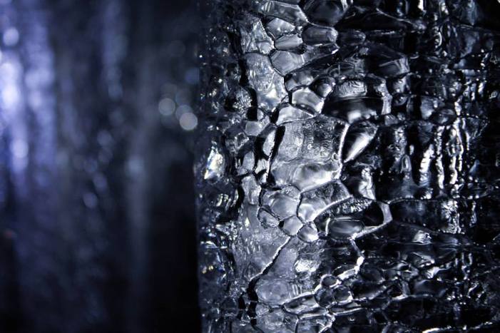
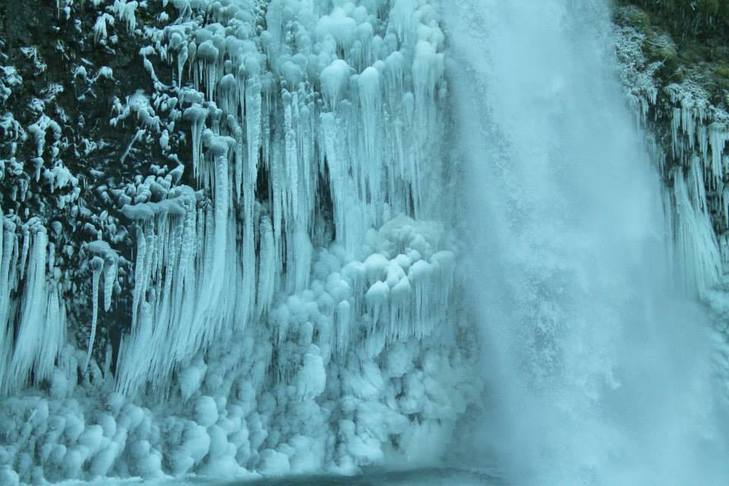
One of many ice formations in the caves
The Trout Lake Ice Caves are not a well-known hike in the area. I learned about it from the Curious Gorge book. It takes about 2 hours to get there from Portland and the majority of the drive is just lovely. You go east on 84 to Hood River and then cross the bridge. Back track a bit west on 14 and take a right onto 141 toward Trout Lake. Continue 4 miles past the Mt Adams Ranger Station and continue onto Forest Road 24. When we went in April, we ran out of driving room as the road was still packed with snow. We parked and walked the short distance to the cave. The caves themselves are small but you will want gloves, headlamps/flashlights and layers of clothing. It is wet and slippery in there.
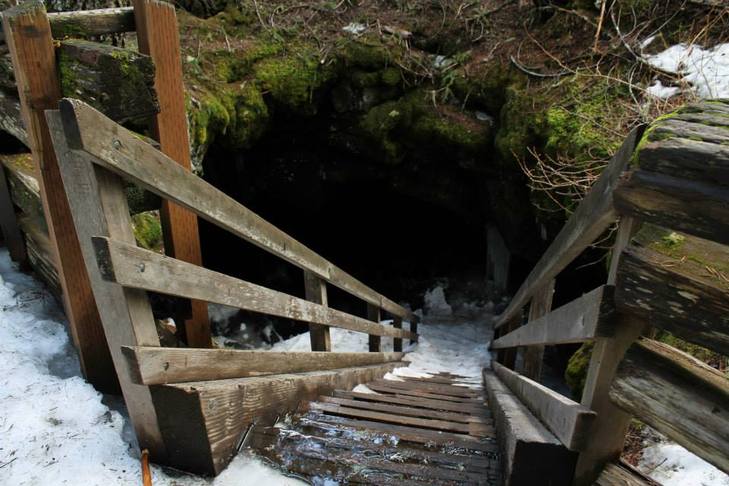
The cave entrance. I went down on my butt.
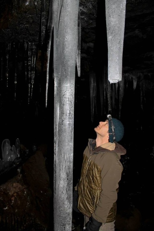
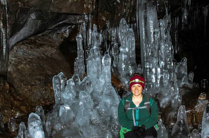
You can make a loop out of the cave. The better part of the cave is to the left of the stair entrance. To make the loop and exit out to the right of the stair entrance, you almost need to get on hands and knees. Take mindful steps, it's very easy to knock over the ice formations (ask Aaron). Best month to visit is May.
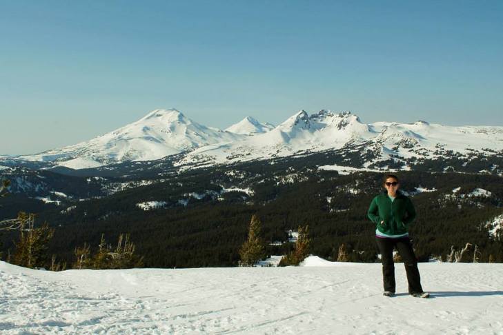
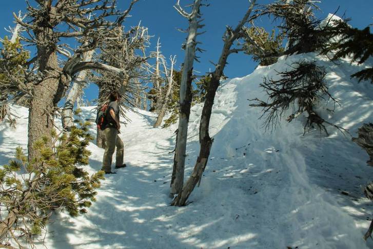
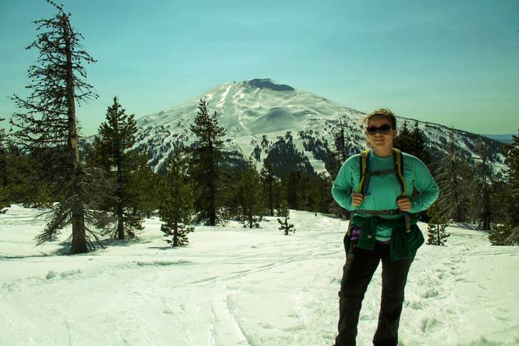
There are several hikes in the area that I haven't done yet:
There are several hikes in the area that I haven't done yet:
- Sleeping Beauty
- Little Goose Creek Falls
- Bird Creek Meadows


 RSS Feed
