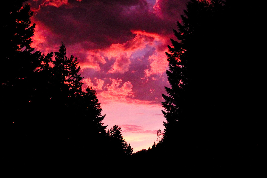
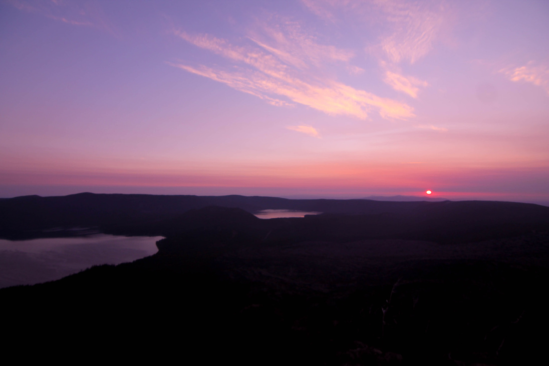
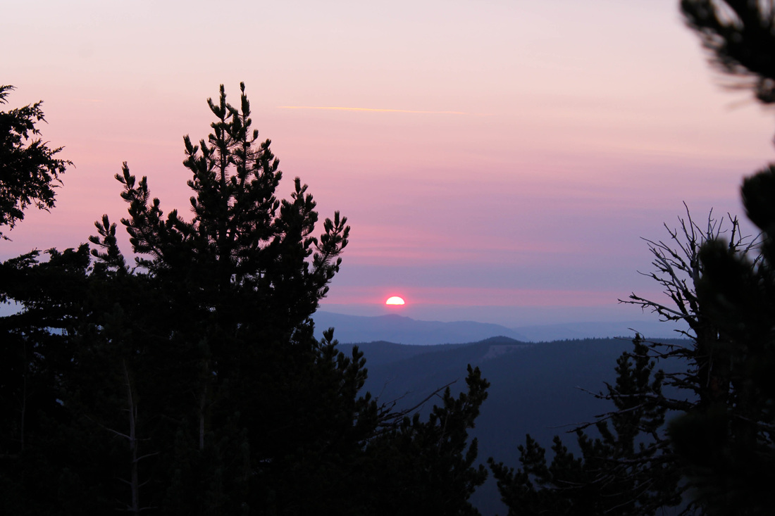
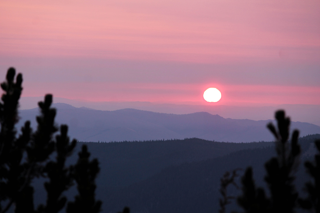
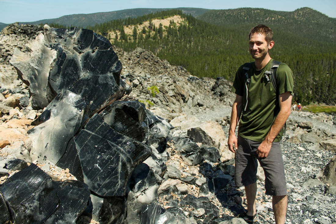
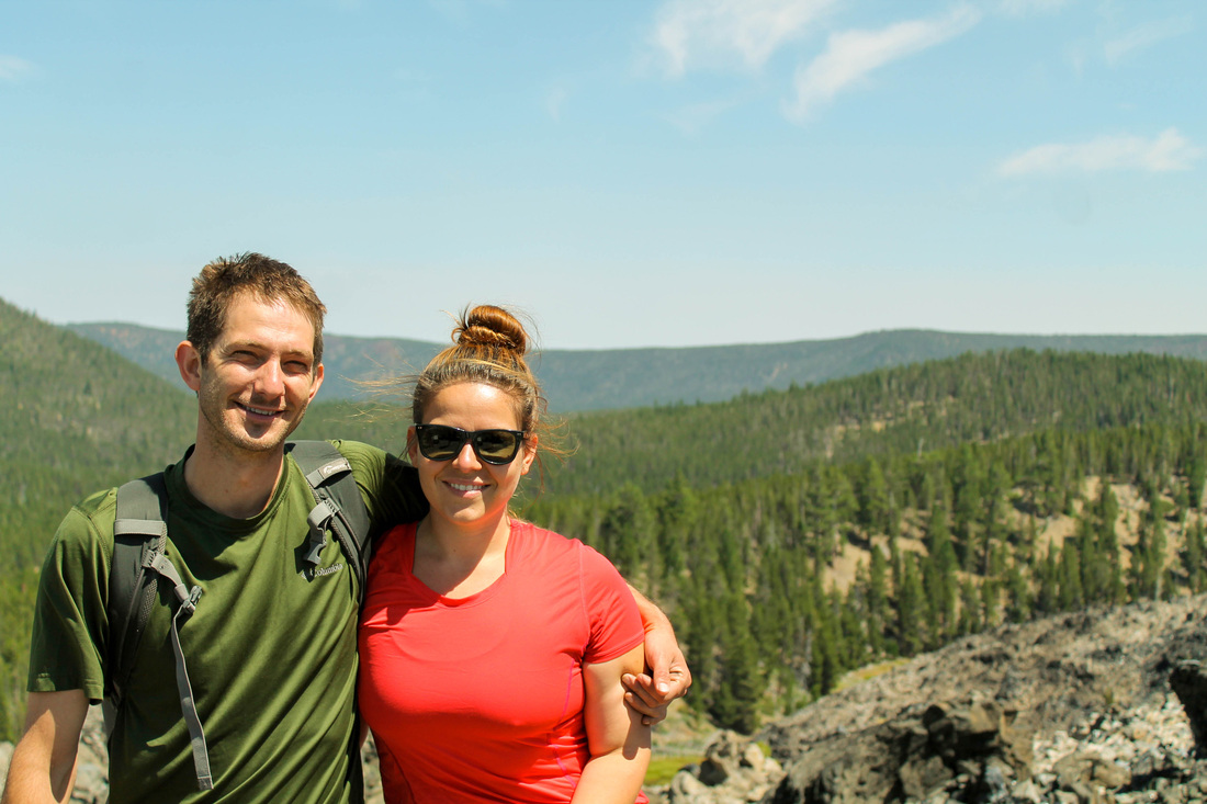
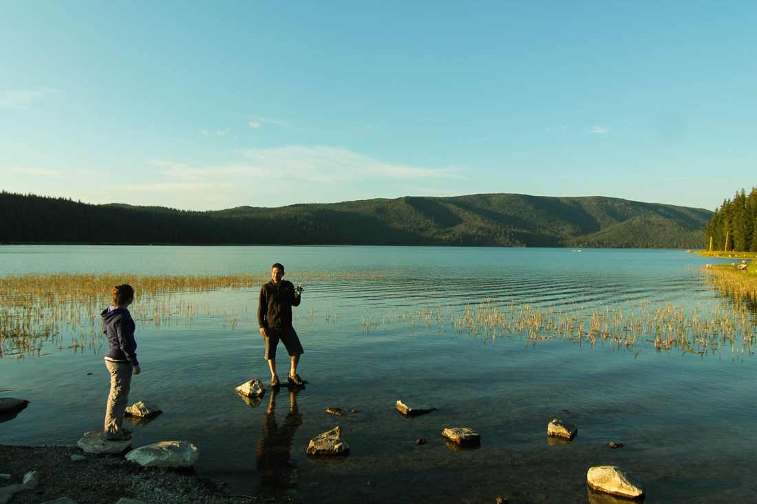
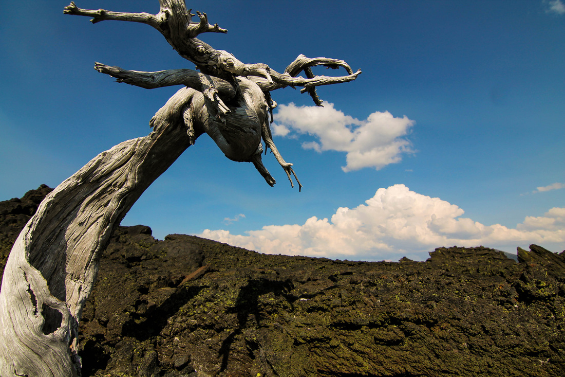
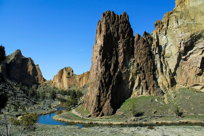
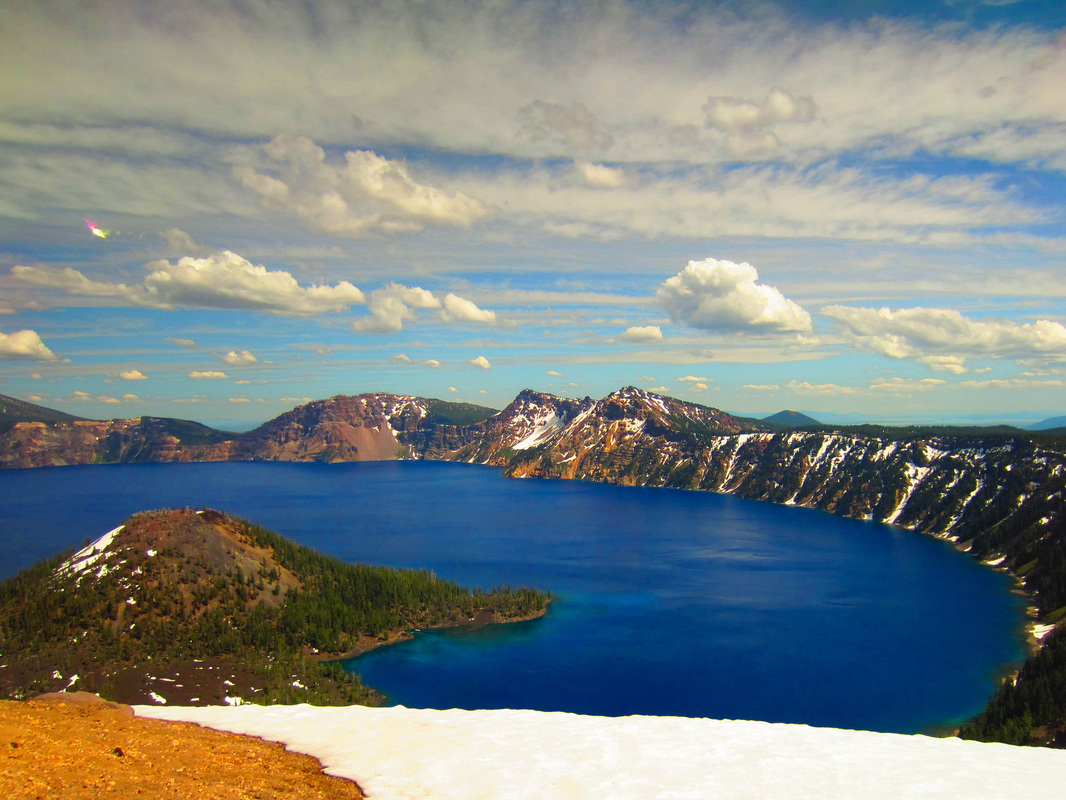
South Sister is similar to Mt St Helens in that it doesn't require any technical climbing to summit. This was a goal for about a year to climb, but we just needed the right weekend. This weekend finally presented itself in the summer of 2015. We had had a really busy spring leading into a busier summer (planning for our wedding on July 25th), but the stars aligned and we had a free weekend in June. I compiled the dream team of a hiking group: PJ, Nate, Aaron, Kate and myself. PJ was in Oregon for a summer internship at the clinic I work for, and, because he is built like a gladiator, I knew he could complete the haul. I had done some hikes with Kate and knew she would be up for the challenge. Nate summited MSH with Aaron and me last summer, and Aaron always gets to come along by default. PJ, Kate, Aaron and myself met up at Aaron's work and drank a beer in the parking lot while waiting for the insanity of Friday-Summer-Portland-Traffic to dissipate. We drove through Detroit Lake, which is really only a pond at this point since Oregon is in a bit of a drought itself this year (thanks Obama). By chance, we happened across the most spectacular sunsets any of us had ever seen.
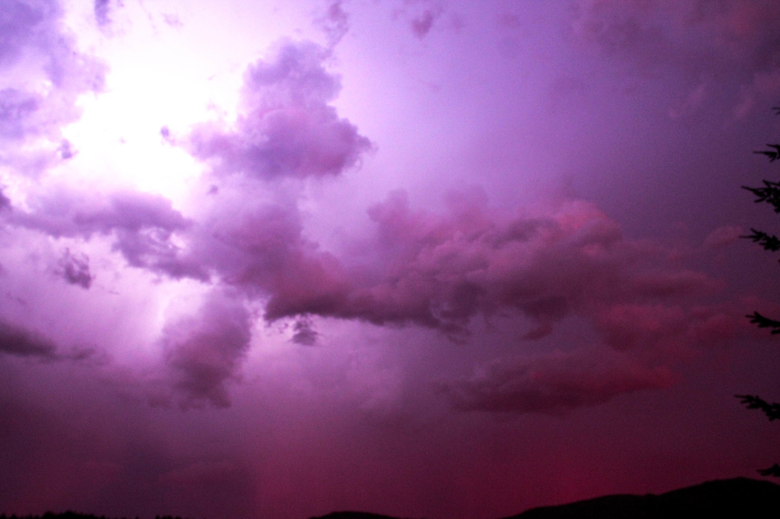
Lightning behind a cloud during a purple sunset.
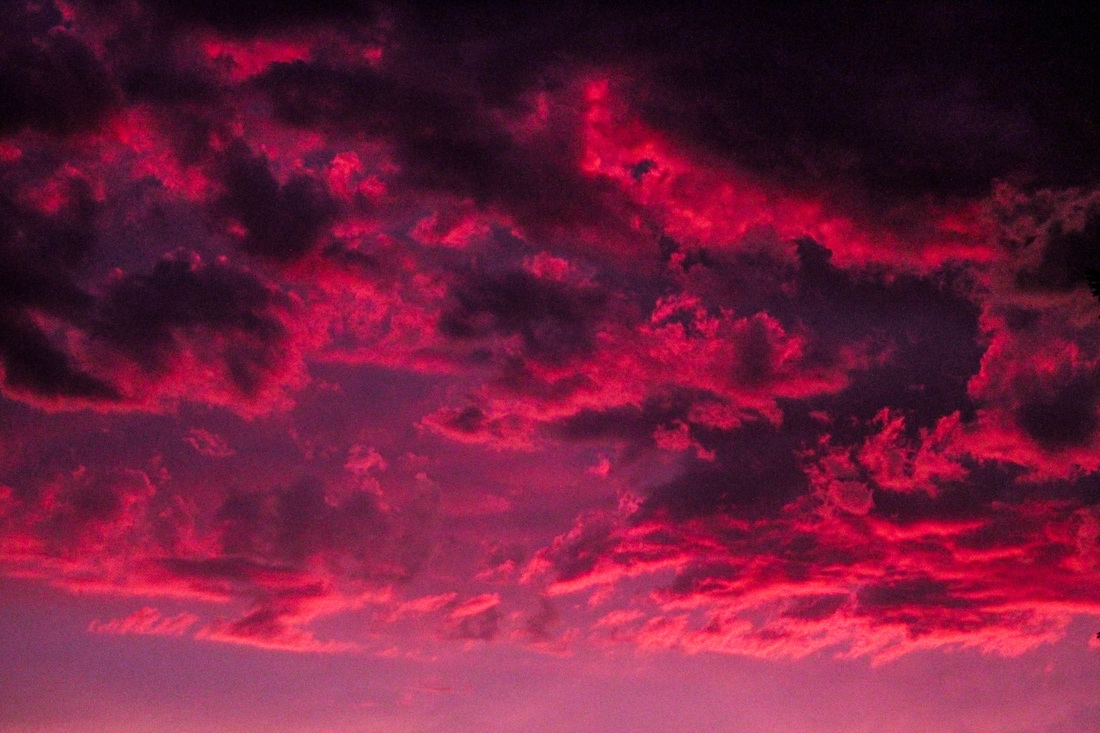
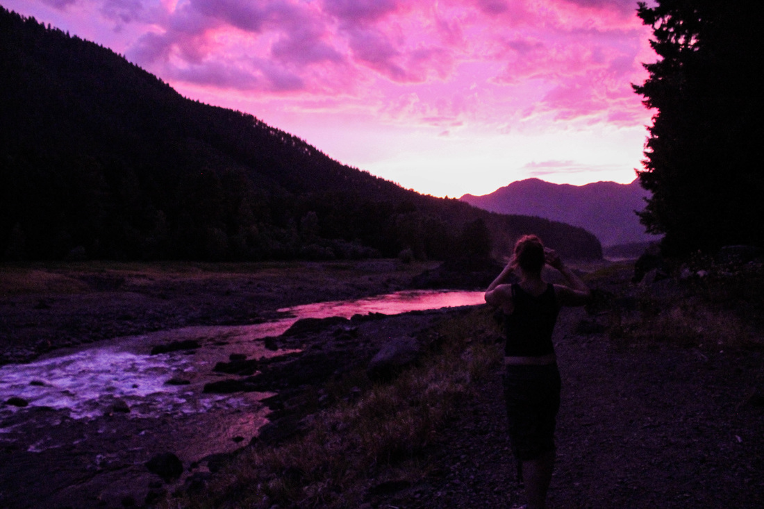
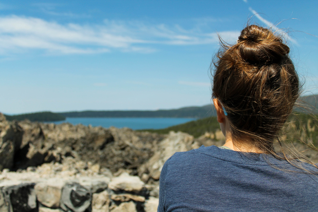
Kate and the sunset.
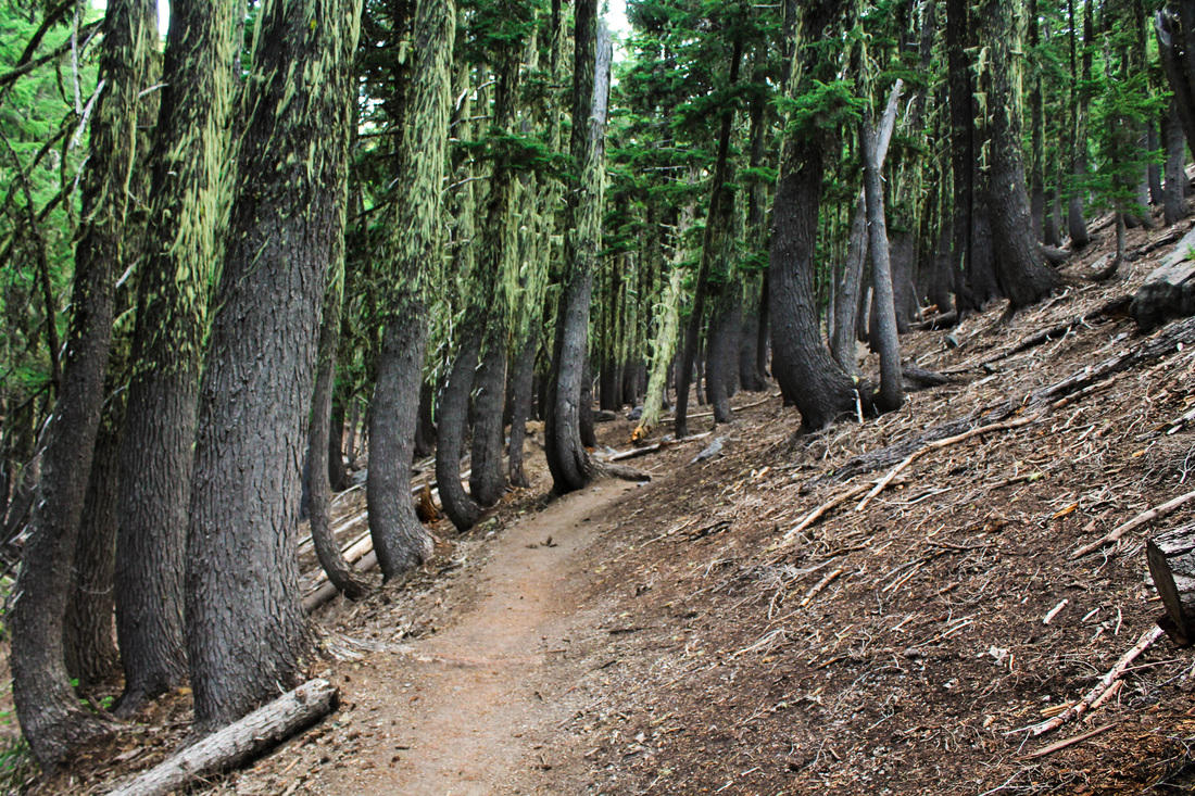
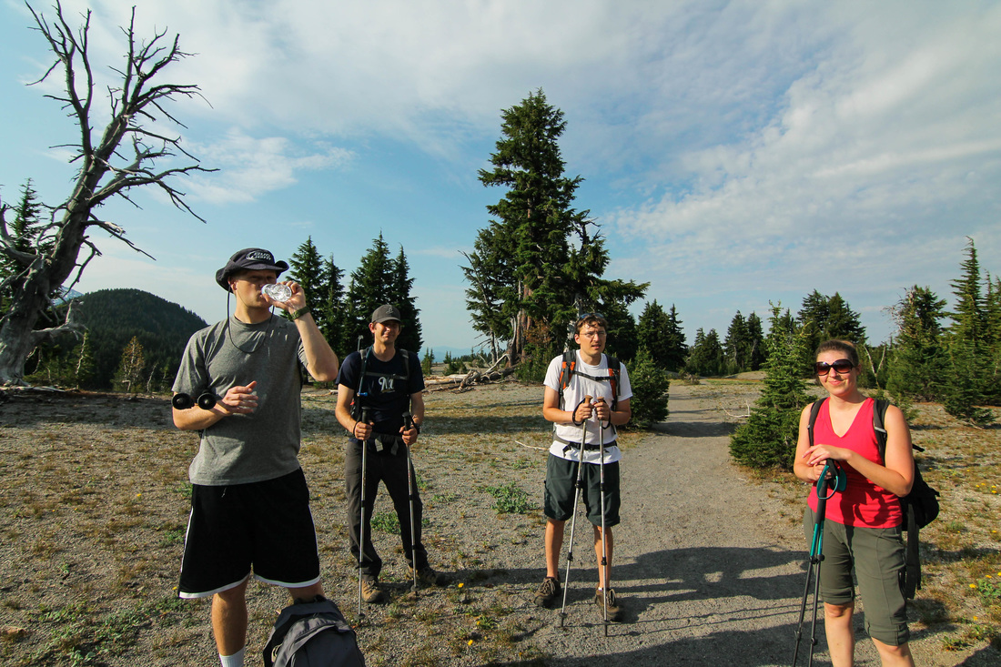
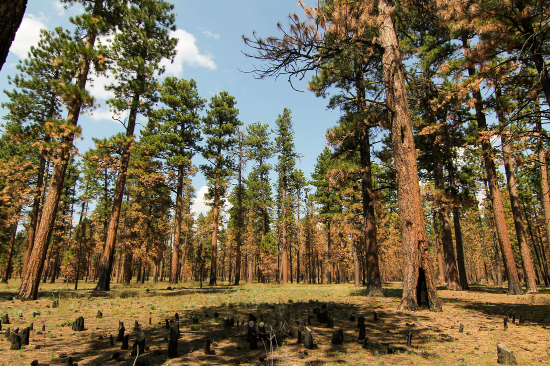
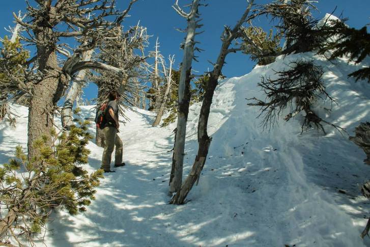
We arrived at the campground pretty late on Friday night, around 11:00 pm. Karen and Nate had snagged a spot earlier. It was huge that they got there early enough to get a spot since this campground is also the trailhead for the summit climb. The campground is Devil's Lake. It's free and has 10 walk-up sites. We set up camp and pretty much hit the hay. We had a 5:00 am wake-up call. We hit the trail on time for the most part. After crossing the road, the trail dips into the forest and begins to climb.
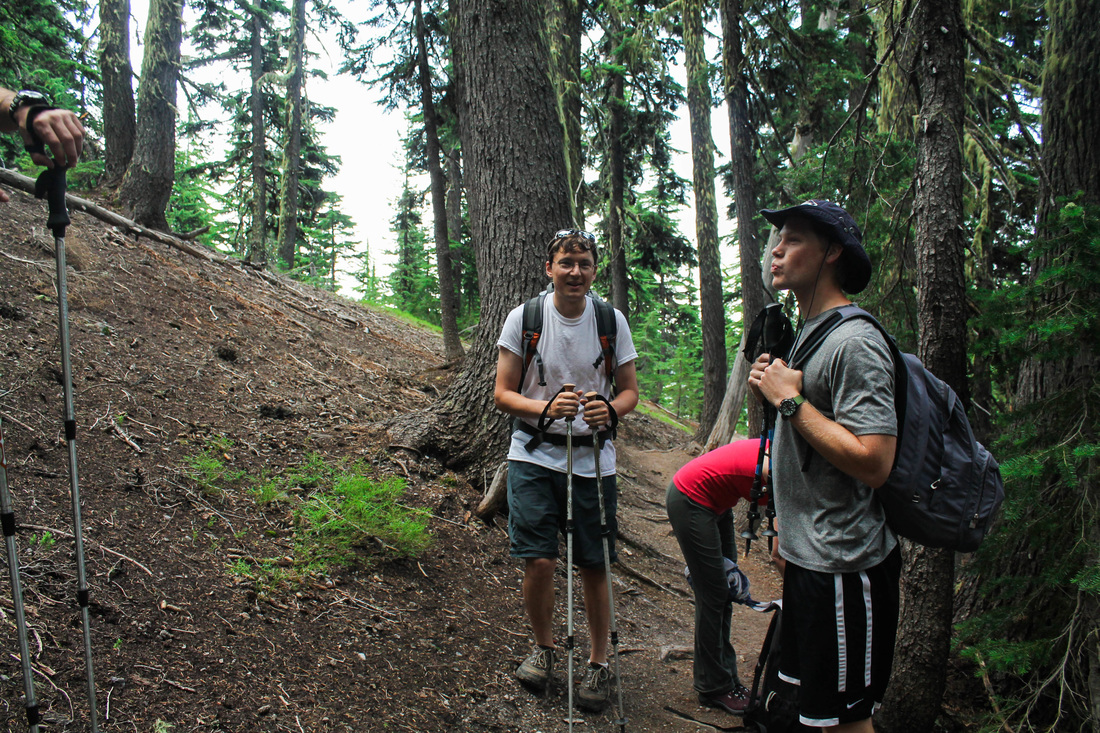
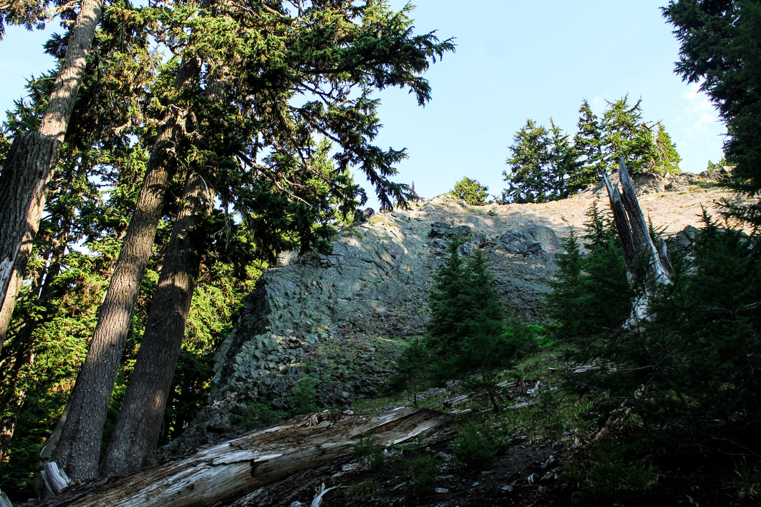
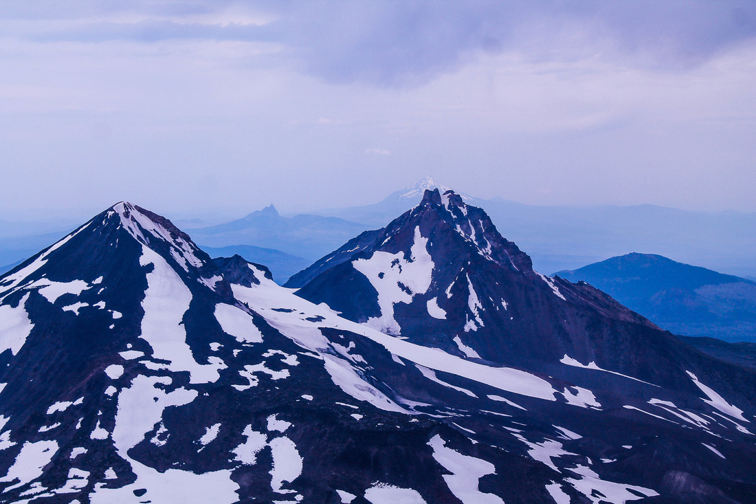
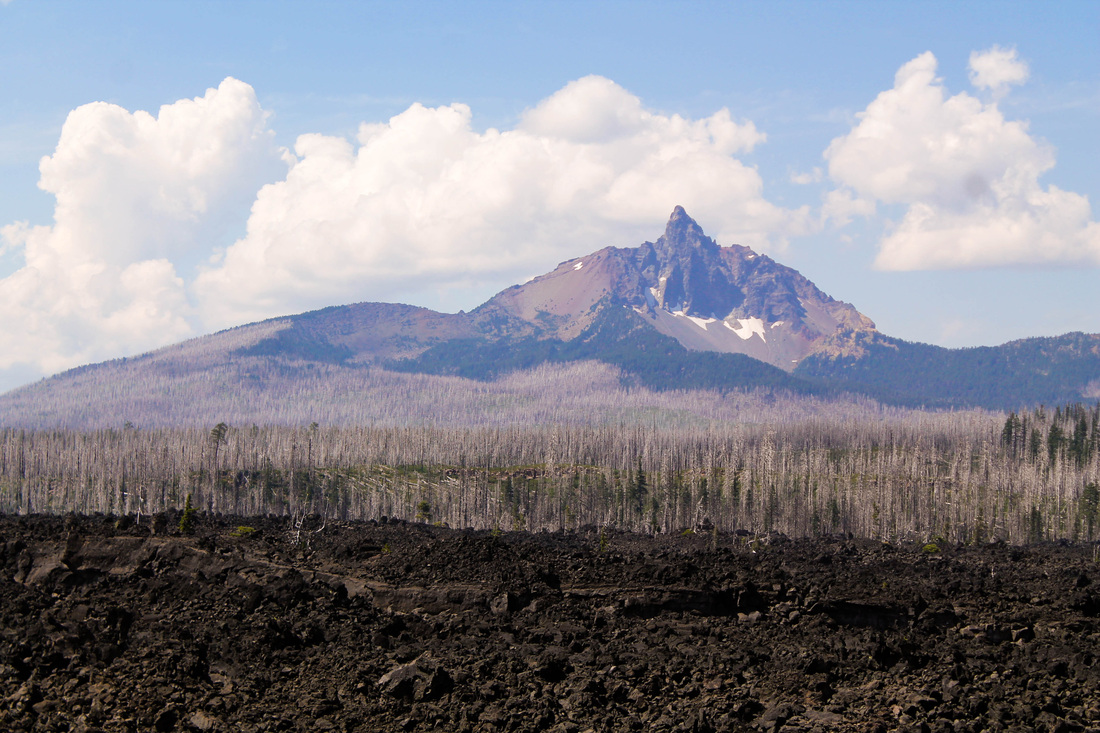
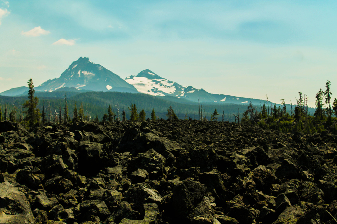
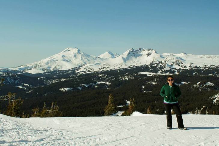
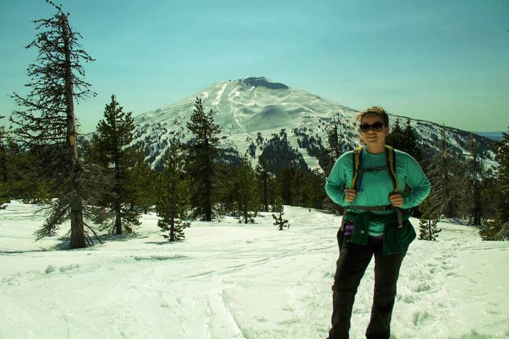
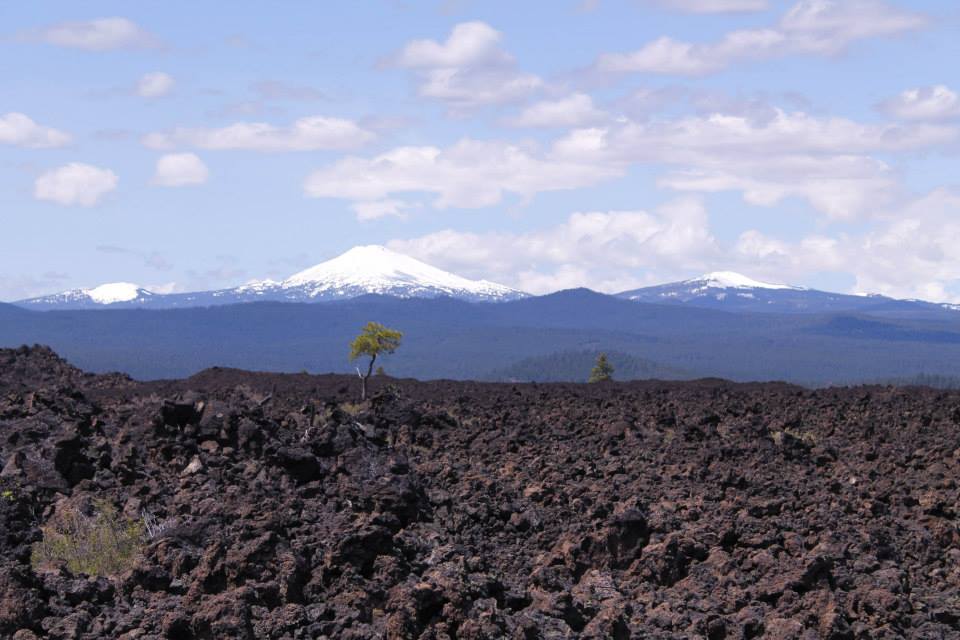
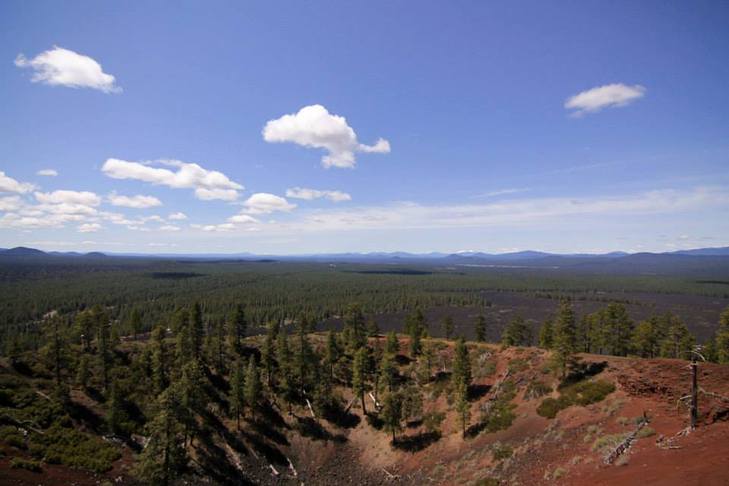
We emerged from the forest and began to see the magnificent mountain before us. Actually, if you don't have the energy to hike the mountain, a nice option would be to hike up through the forest and get the views from there. You can see Mt Bachelor and Broken Top without putting too much work into it.
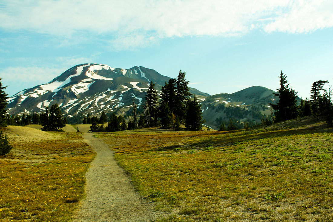
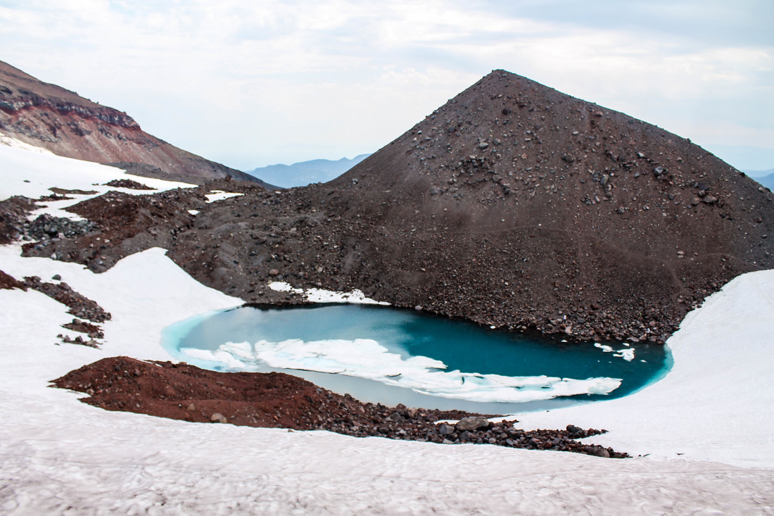
After enjoying the views while walking through the relatively flat meadow, the real climbing begins. I don't remember thinking that anything was particularly steep, but it just keeps going up and up. (After I wrote this I reviewed the hike from several forums and everyone is commenting about the steepness which provides no switch-backs to comfort hikers). After several hours of hiking, we made it to Oregon's highest lake: Teardrop Pool.
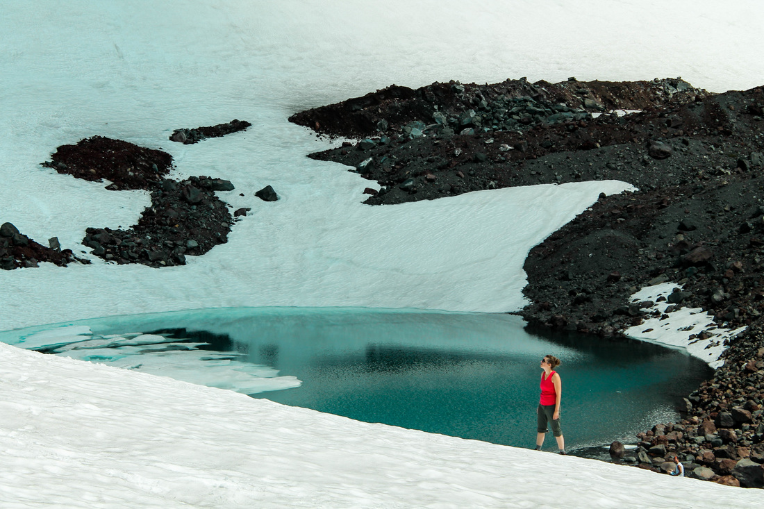
Kate and Teardrop Pool
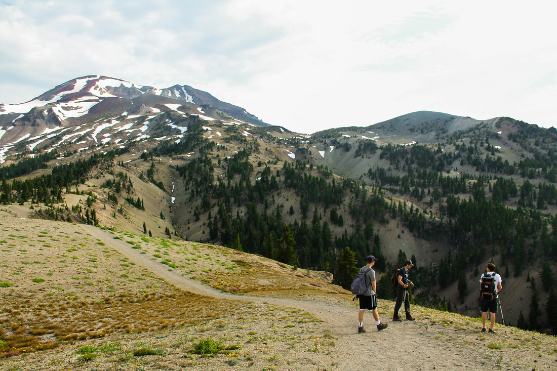
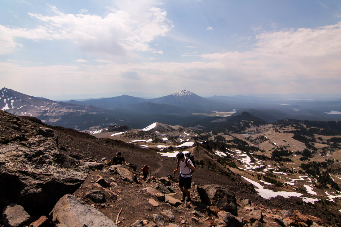
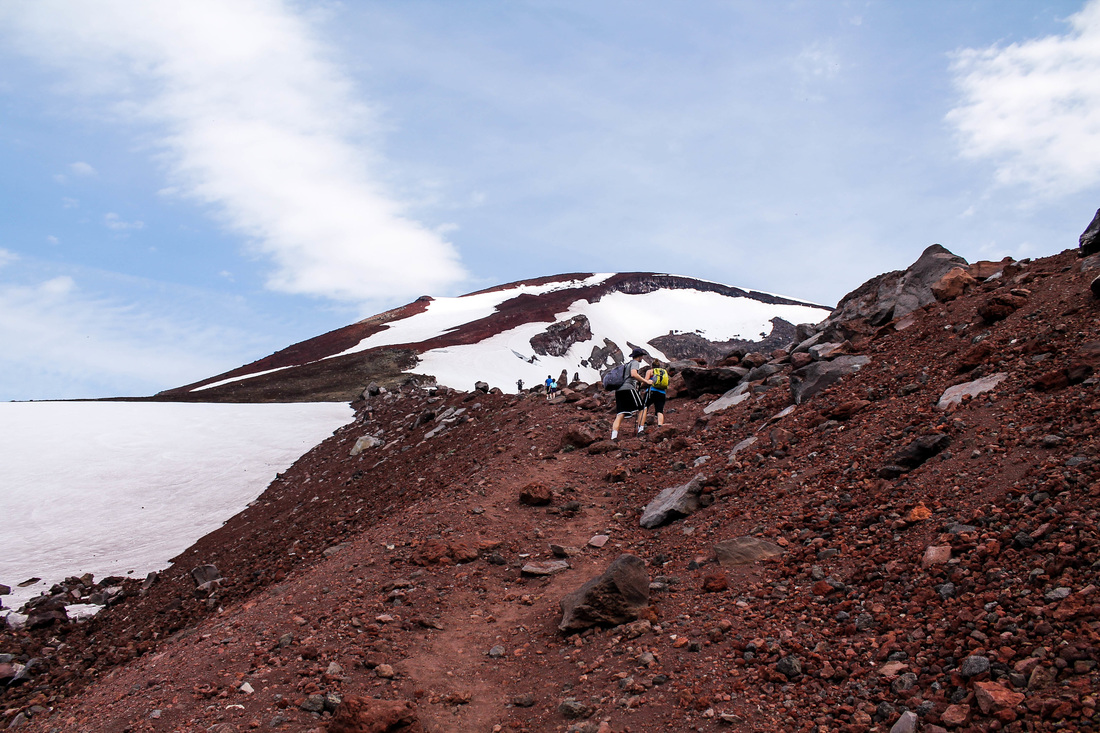
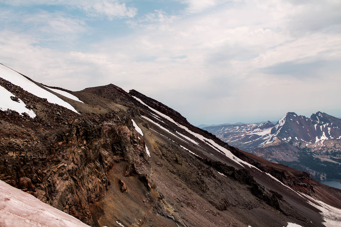
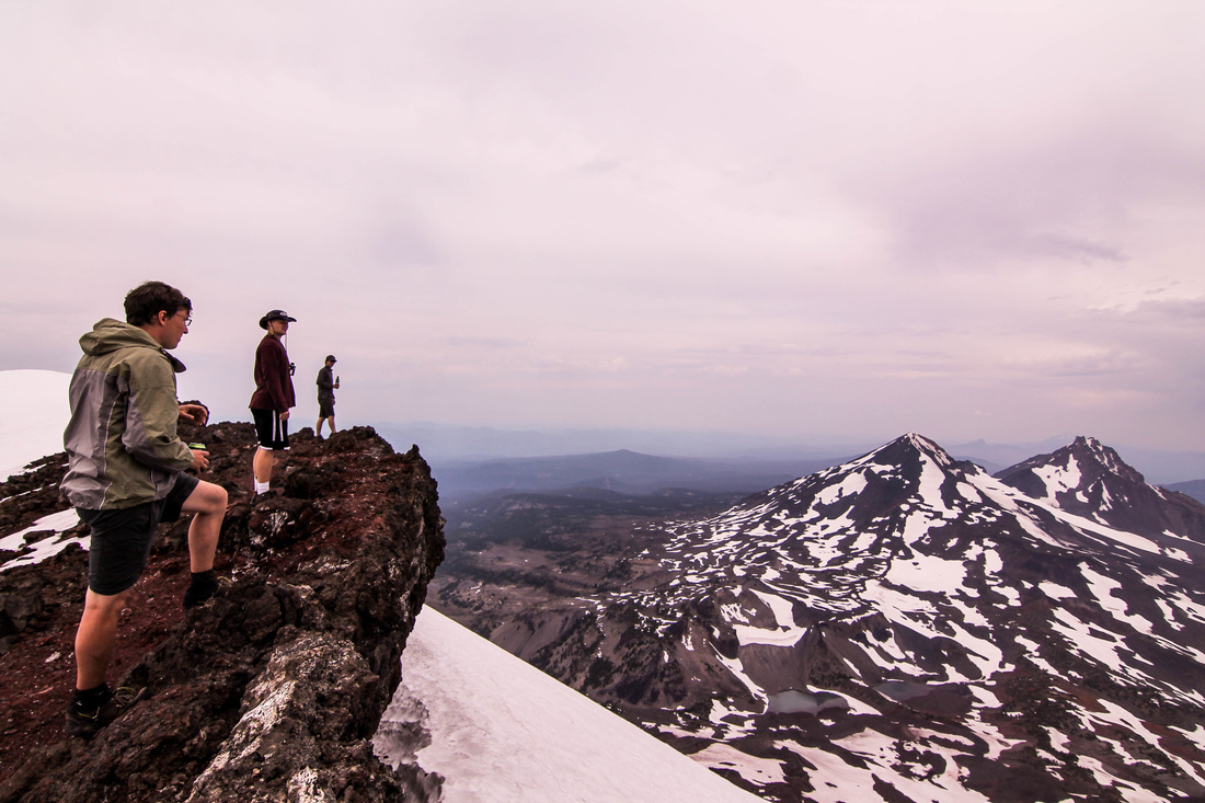
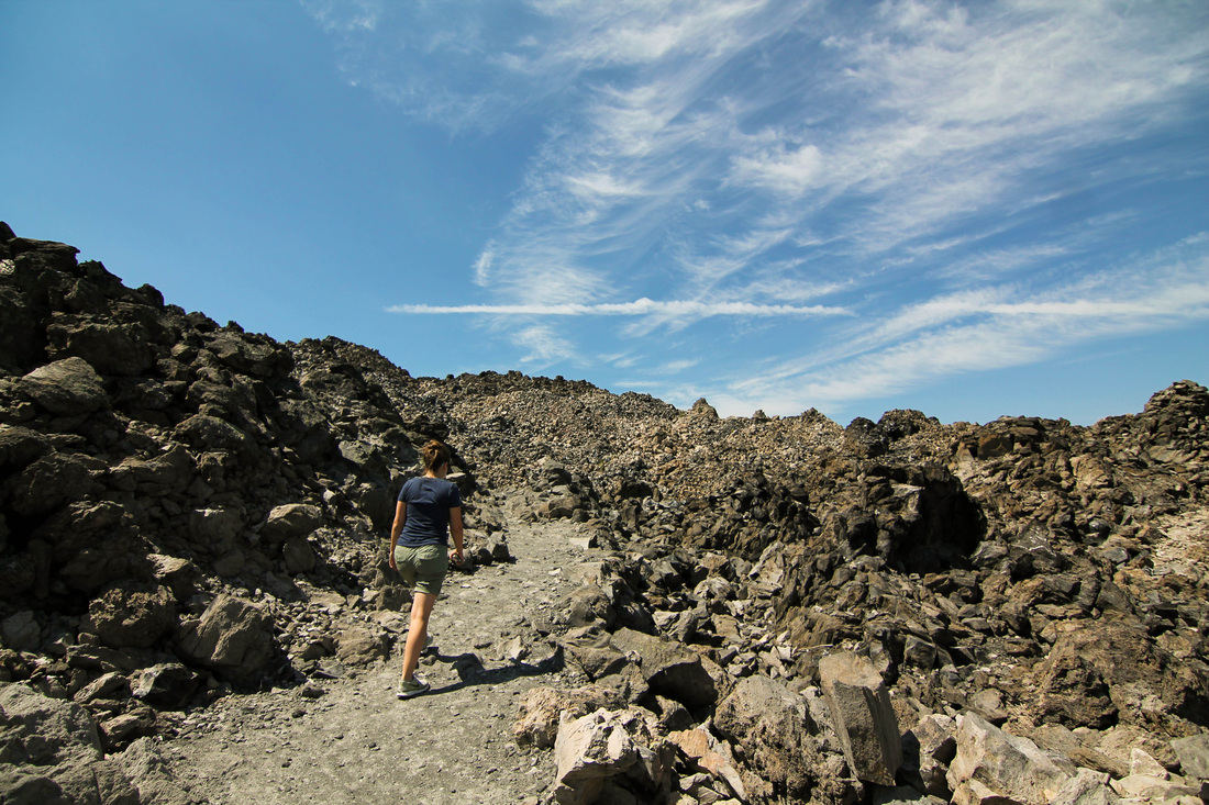
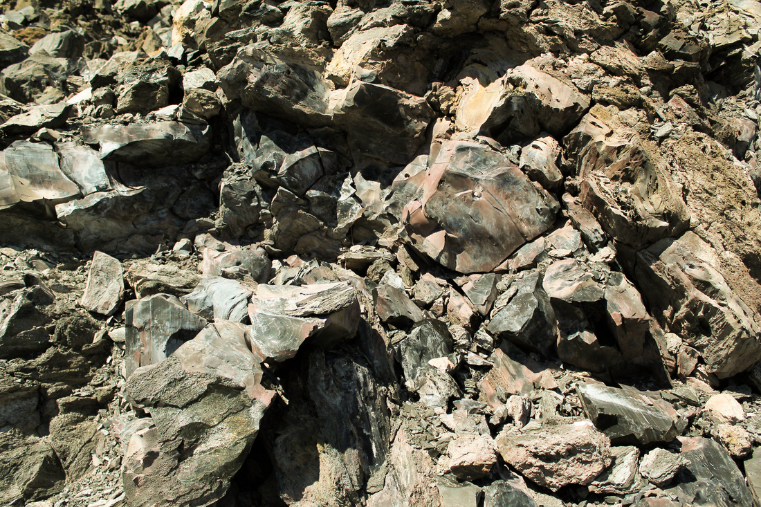
After Teardrop Pool, the final push to the top commences. At this point, the scree is a beautiful red color and you can see the fellow climbers making their way, slowly, to the top. I would imagine that typically there would be a lot more snow on this mountain. From pictures I have looked up from other hikers, it looks a lot different than our hike; including the view from the summit. In the photo below you can see the last push to the top (where a glacier remains the last hurdle to the summit). From where the photo was taken to the apex of the convex portion of the mountain took us about an hour and a half to climb. I mention this because it always looks like you're almost the top- when it's deceivingly hours away.
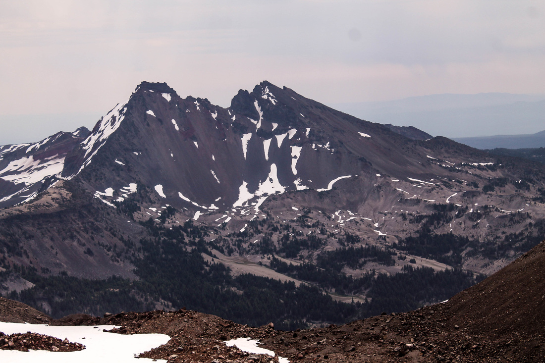
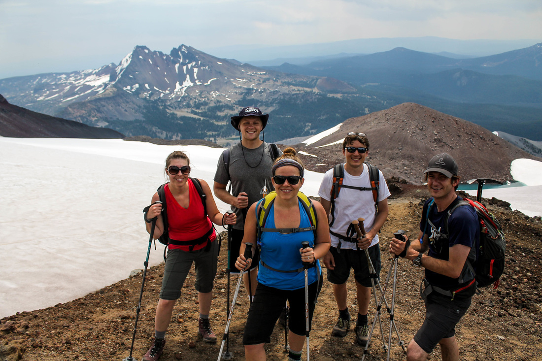
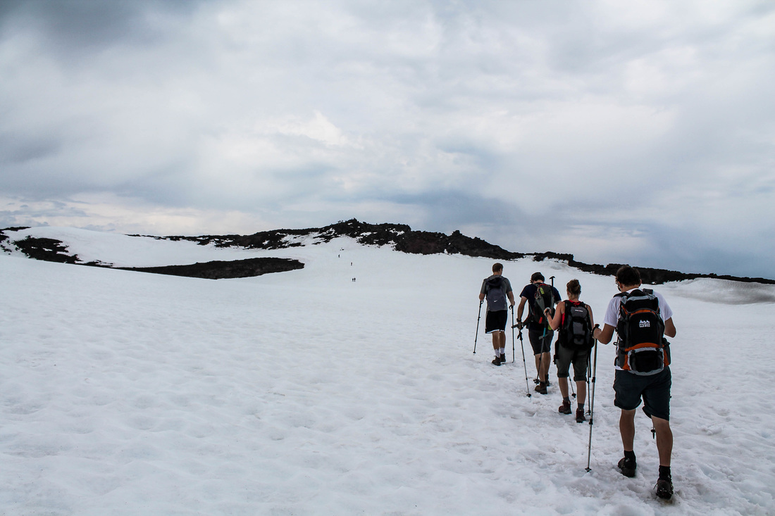
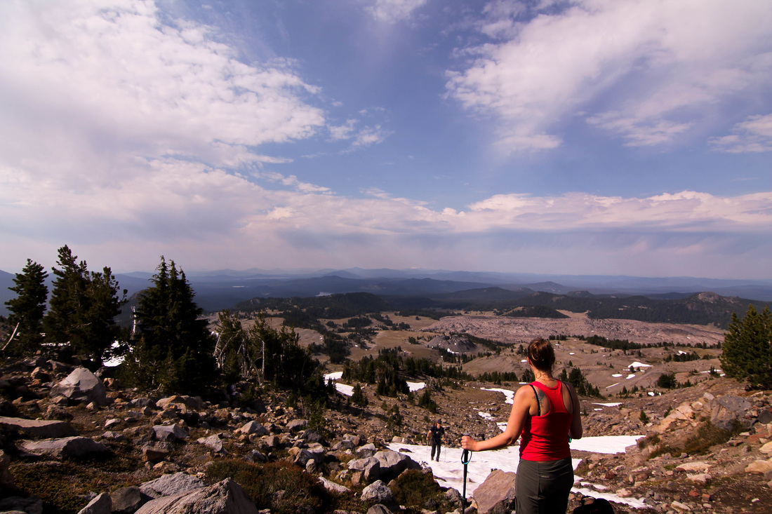
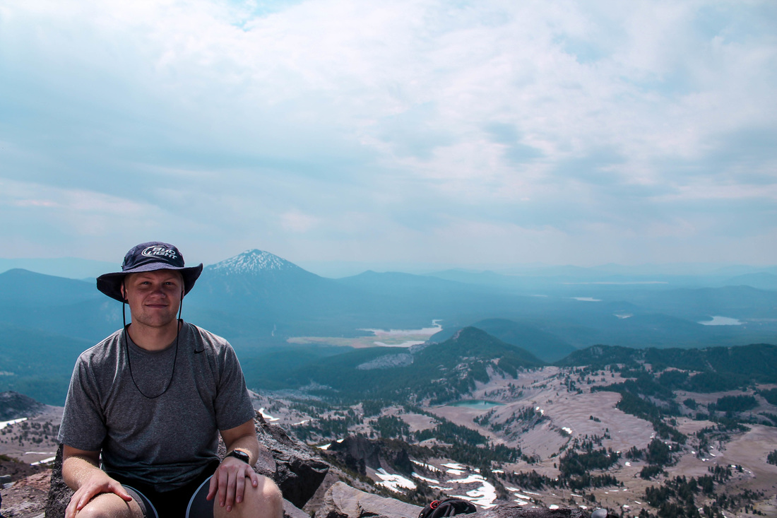
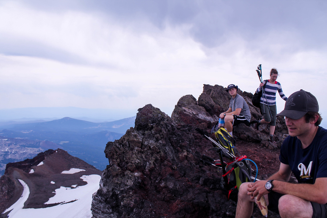
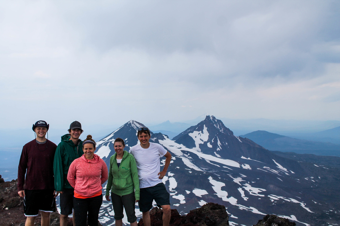
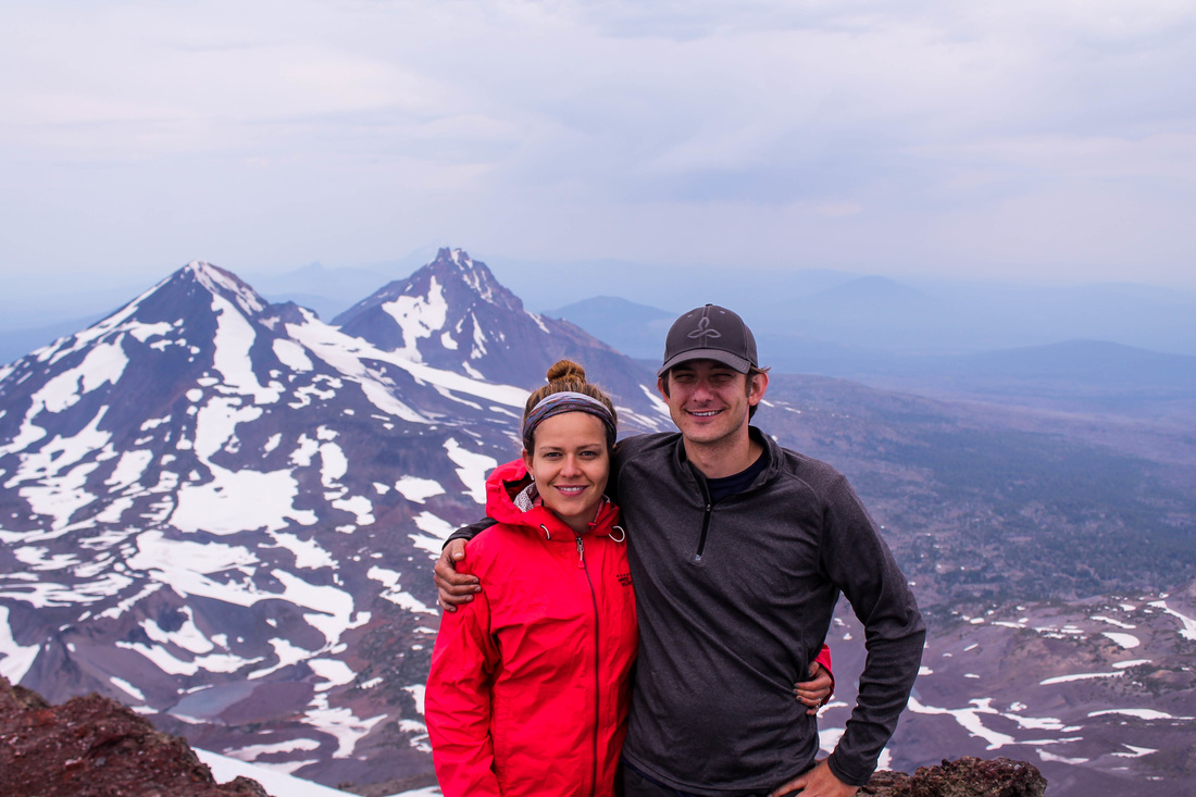
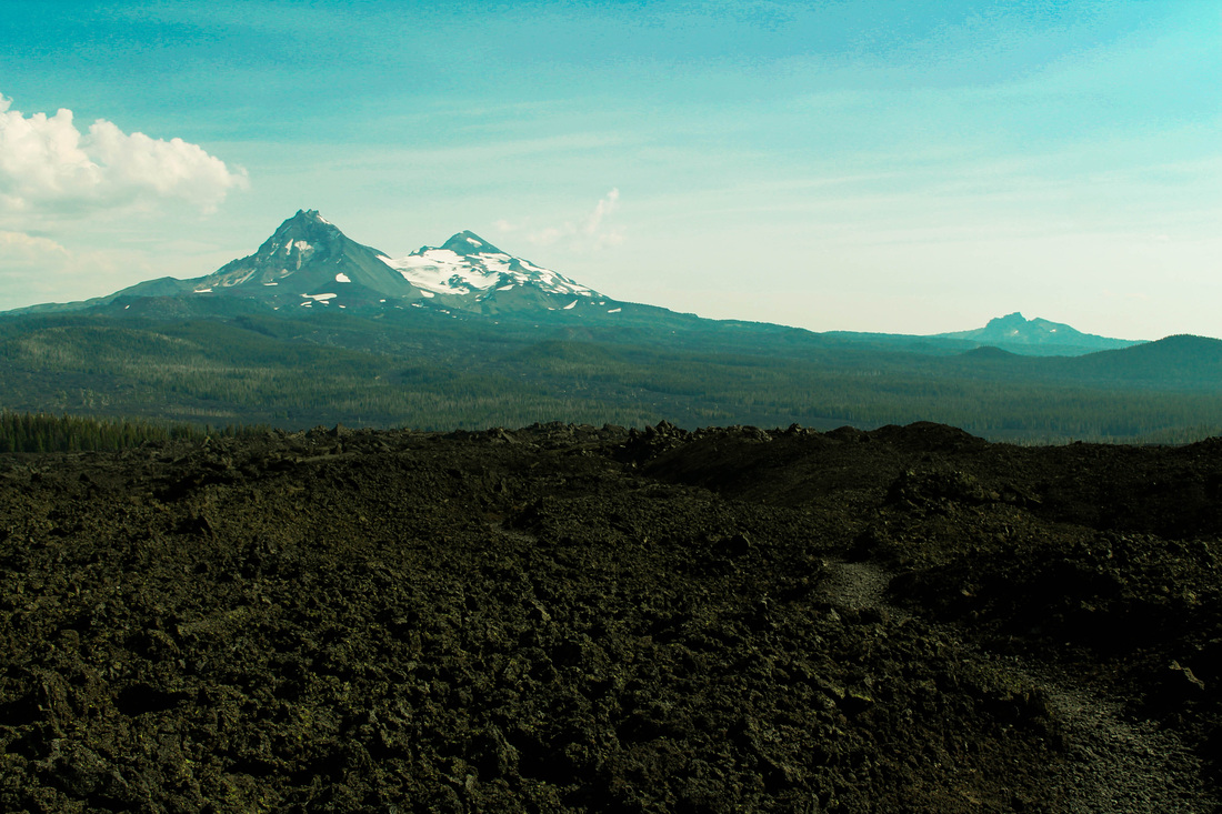
The picture above shows the group traversing the glacier on the top. The actual summit is located at 12 o'clock in this picture: the tiny point in the distance. We got to the top at 12:30 pm, making our summit time 6.5 hours. The views are great up there; you can see North and Middle Sisters, Broken Top, Mt Bachelor, Mt Jefferson, and Mt Hood. On a clear day, you can see even more. We enjoyed lunch and beers up there, and, Kate enjoyed a nap!
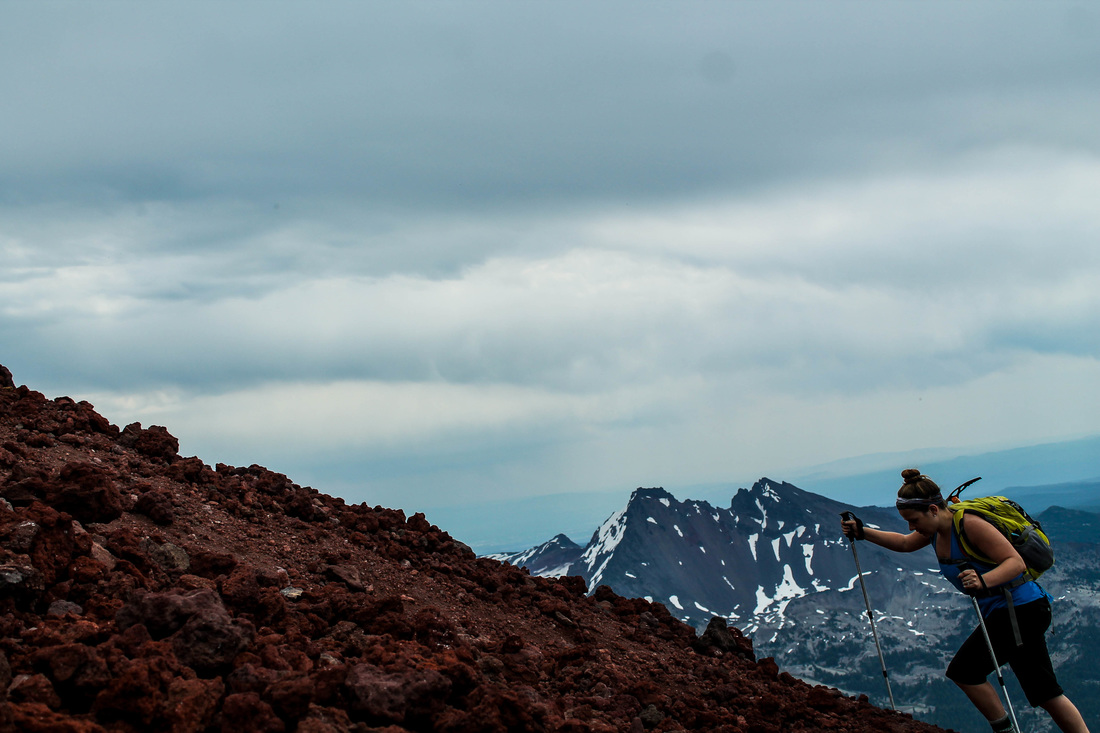
The thing about hiking up 5,000 feet is you have to hike down 5,000 feet. This is quite the daunting task when you've already expended so much energy- specifically from your quads. We began the decent and the sun rose higher and hotter in the sky. I believe the forecast called for a day of high 80 degree weather. By the time we reached back to the initial meadow, we really began to feel it. I ran out of water, Kate's feet were suffering from her new hiking boots, and I think the whole group was ready to be done with the hike. Unfortunately, we still had several miles left. We shared our resources and encouraged each other all the way to the bottom. It was a great group to hike with and a very fulfilling hike. It was one of the most difficult physical challenges for all of us. We spent that night drinking whisky around the fire and the next day enjoying Bend: beers, ice cream and a soaking pool.
The Hike:
The Hike:
- Elevation: 5,000 feet
- Distance: 12 miles RT
- NWFP required at trailhead


 RSS Feed
