The Hike:
- Elevation: 1,700 feet
- Distance: 9 miles RT
- NWFP required at trailhead
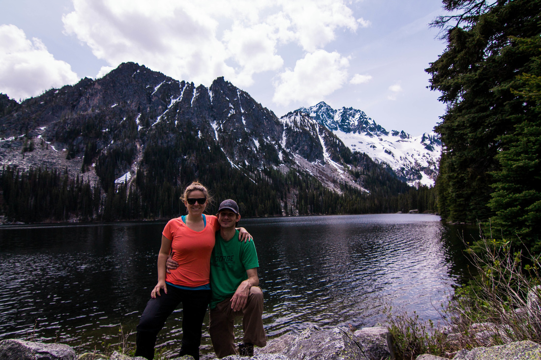
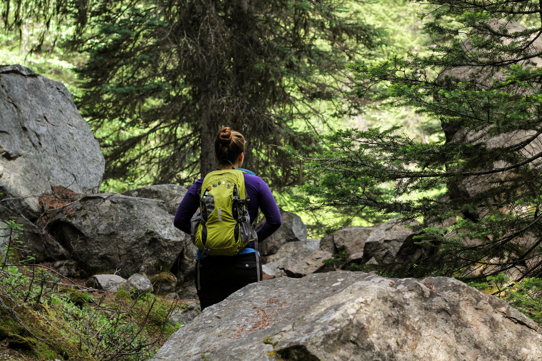
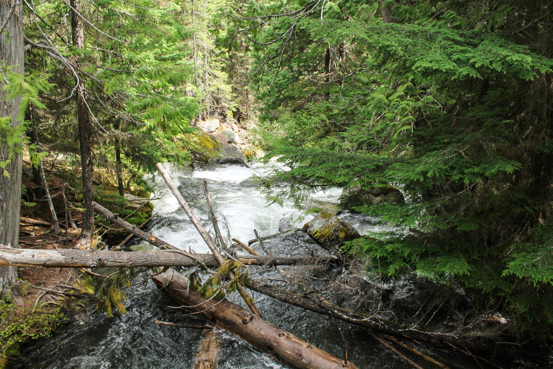
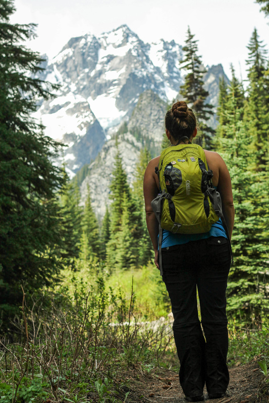
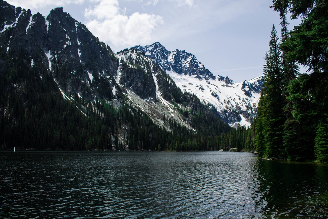
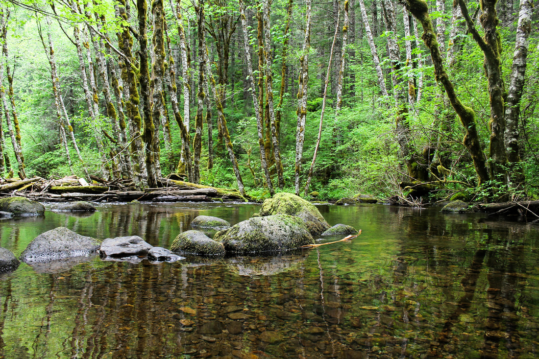
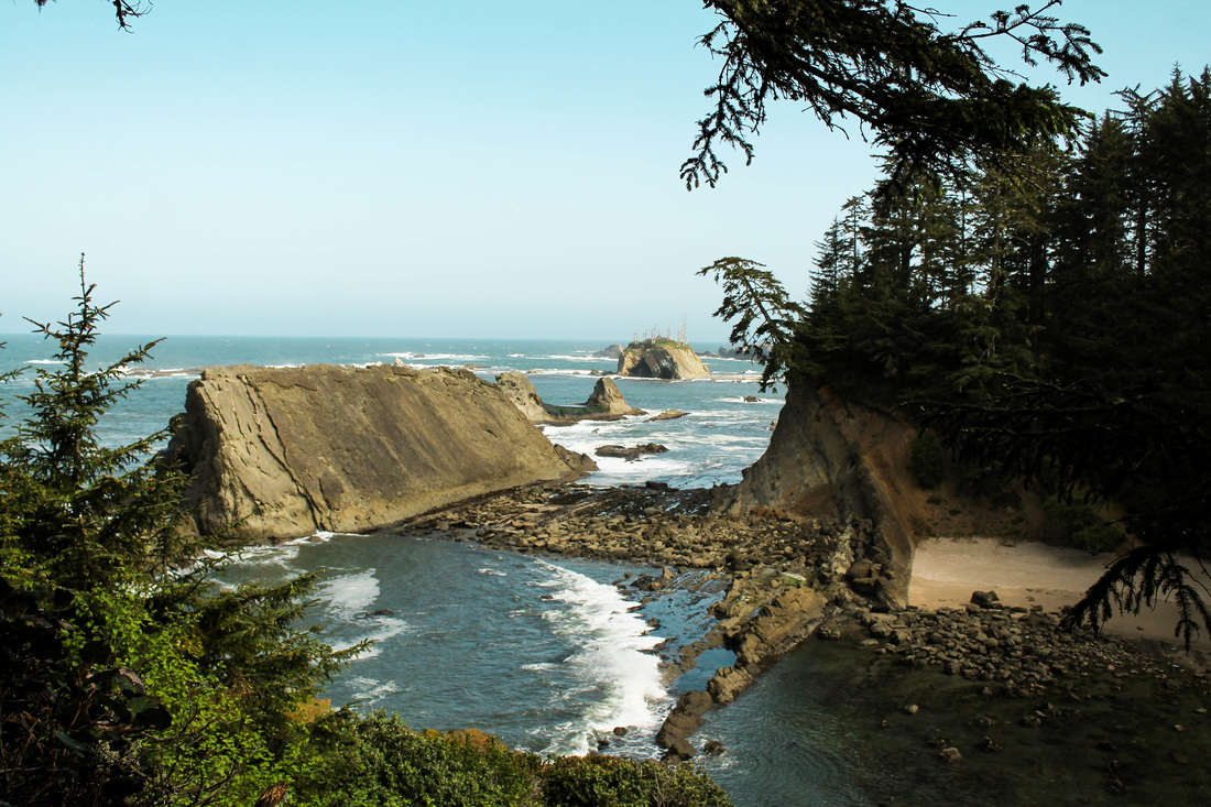
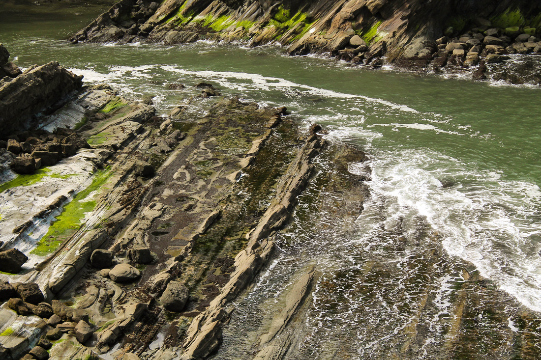
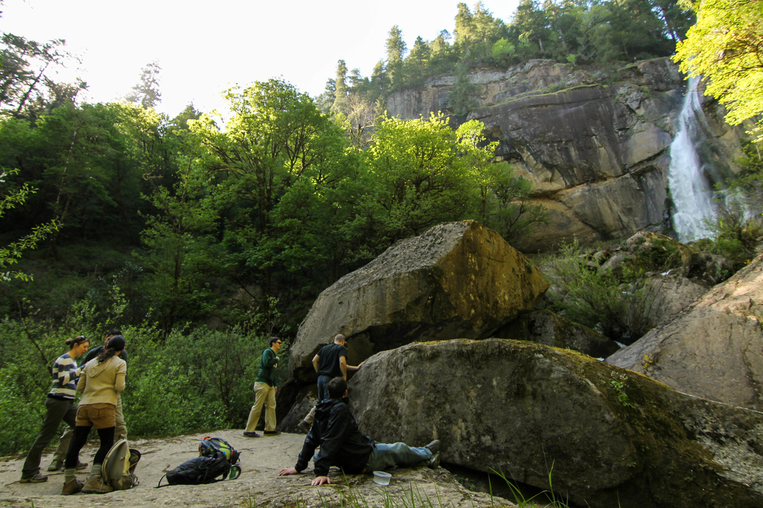
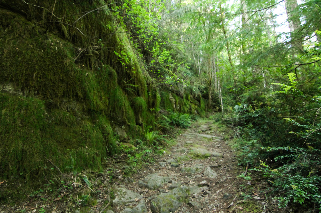
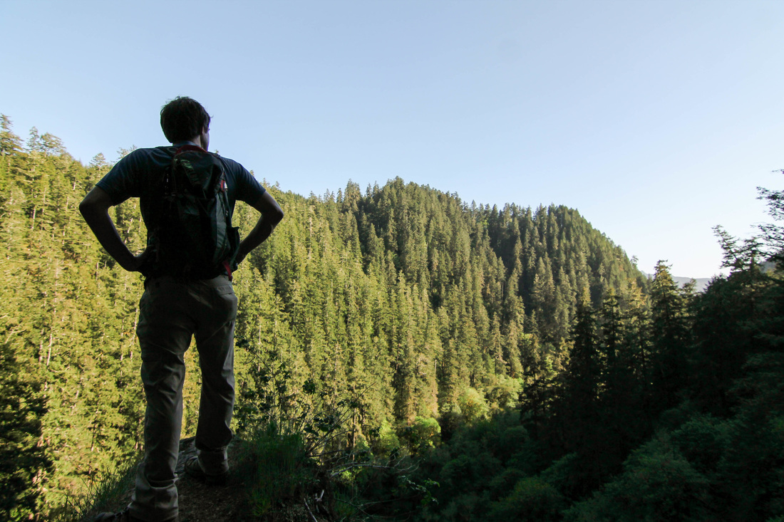
Stuart Lake is an awesome sight to see. It is in the Northern Cascades near Leavenworth, WA. Aaron's parents were in town visiting over Memorial Day weekend, and we decided to check out a new area while they were in town. Leavenworth was mentioned 4 or 5 times by different people (women I met in Costa Rica, my co-worker- Michelle, and several patients). Since it came up so many times in only a week or two, I took it as a sign that I should go explore there soon. Leavenworth is the closest town to the Enchantments. The Enchantments are a spectacular backpacking trip in the Cascades. Just google "the enchantments," and you'll see for yourself. Stuart Lake lies at the edge of the Enchantments and is an easy way to get a taste of them with only a day hike. We started our hike around 9am. Lewis and Cynthia dropped us off and we told them to come back at 3pm. The hike in begins in the forest and it gains elevation the whole way. Before too long, you'll have your first sighting of the river. 
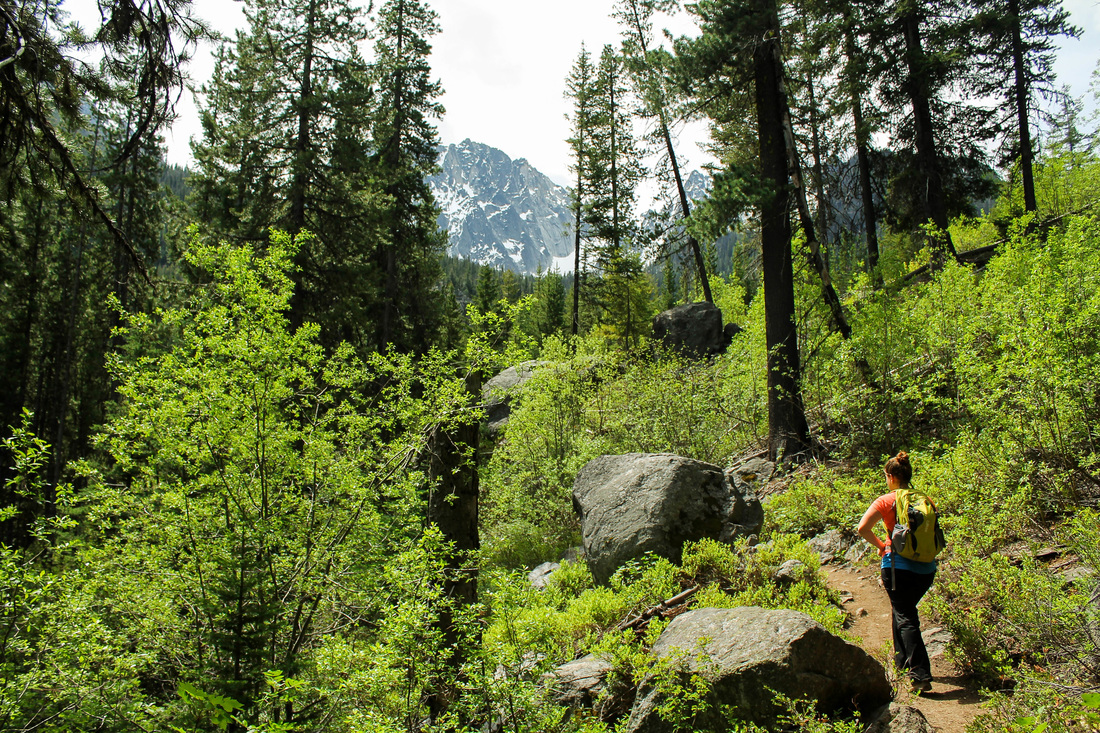
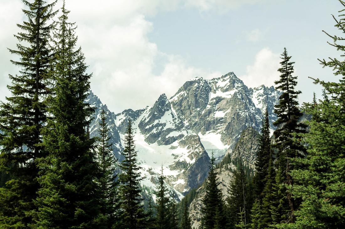
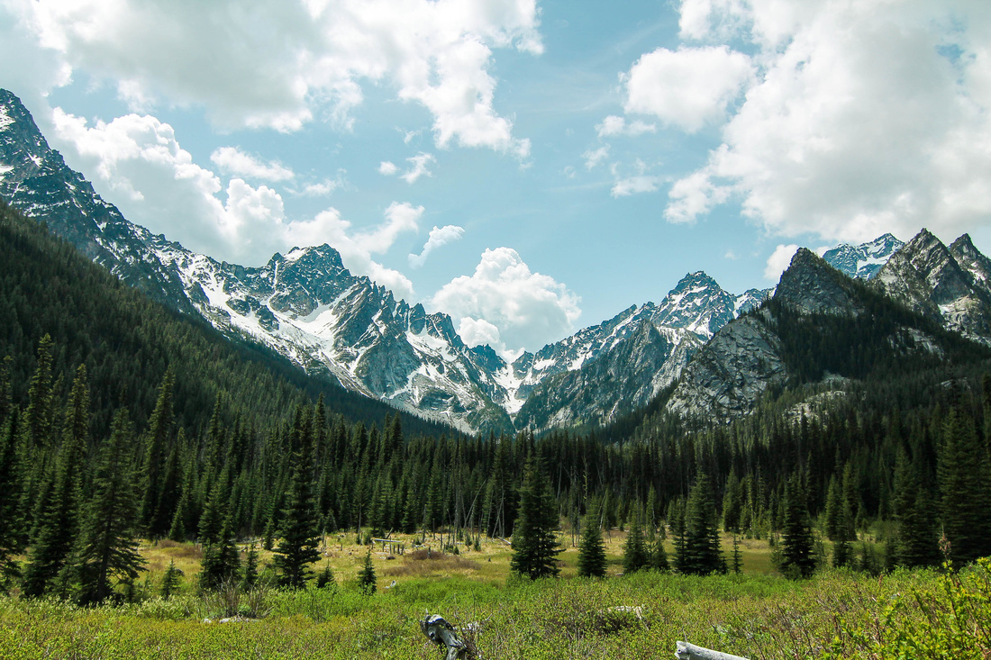
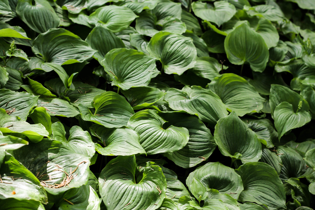
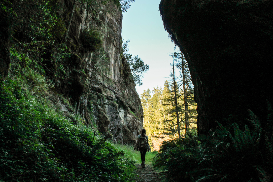
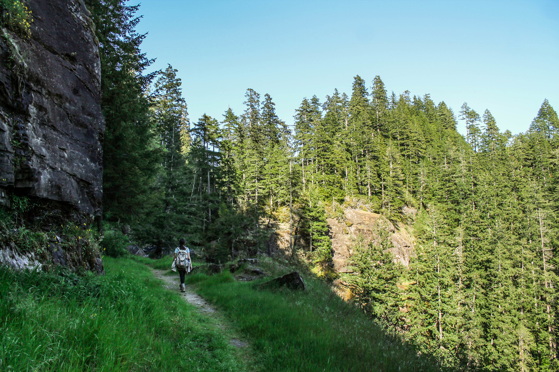
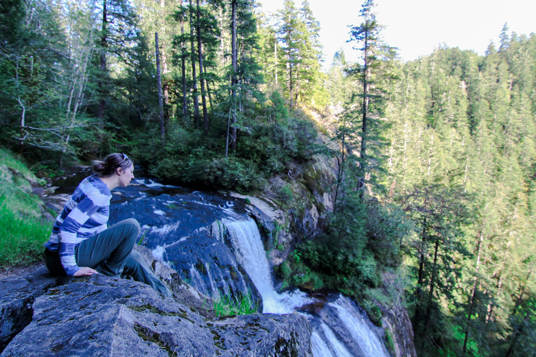
The trail gains elevation for about 2 miles the flattens out. There is one junction; left goes into the Enchantments, right goes to Stuart Lake. We hung a right and continued. This is where it gets really awesome. We had no idea what we were in for and were pleasantly surprised with the views. We strolled through several meadows and did a little more climbing. Two more miles after the junction, we arrived at our destination.
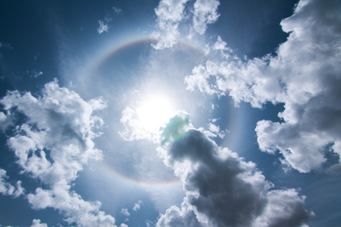
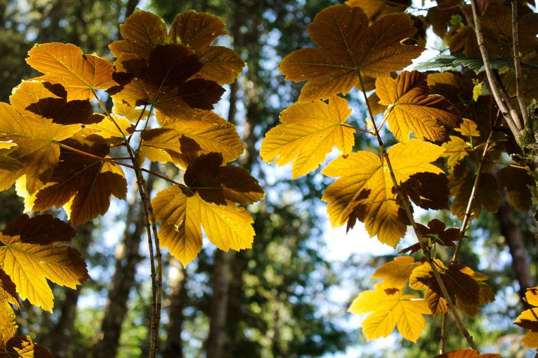
 
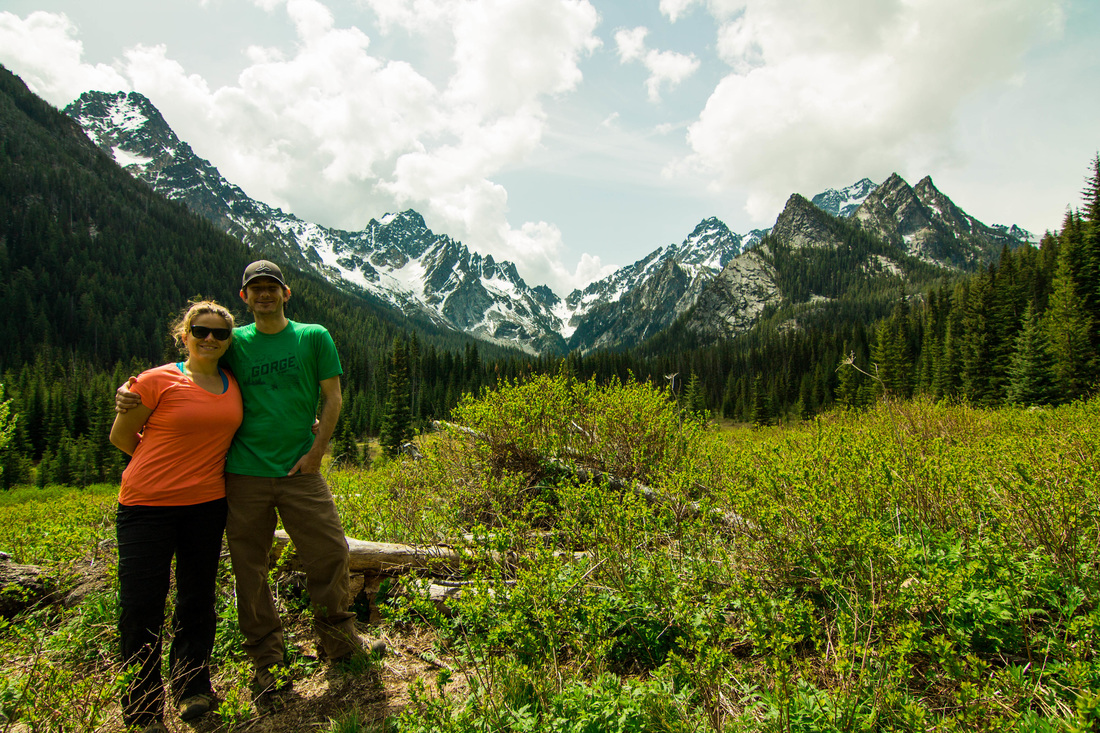
There are several campsites around the lake. Surprisingly, there were several still open. This is encouraging since I would figure a spot like this would be full on a holiday weekend. We laid on a large rock in the sun for about an hour and then headed back to the trailhead. Lewis and Cynthia literally drove up within a minute of us finishing, what timing! We drove back into Leavenworth and enjoyed a German meal with beers!
The Hike:
0 Comments
Mary and I had planned on hiking Dog Mountain for months as it was the only weekend in May that we were both free. Unfortunately, on the Saturday we planned to hike, the weather didn't cooperate. We didn't want to work our butts off to not have the great view of the gorge, so we did plan B: Falls Creek Falls. Shane was visiting from Wisconsin, and I wanted him to see something other than the standard waterfall drive on the Oregon side of the gorge. Shane, Mary, Jordan, and I left Saturday morning after breakfast at our house. We followed directions to this hike out of the Curious Gorge book. They were pretty easy: turn North on Wind River Road and go through Carson's four way stop sign. Go past the old fish hatchery and take a right. Carson now has a stop-light. Good for them. You want the Upper Falls trailhead. The hike is a very low grade the whole way. We passed a few groups of hikers; not really too many people despite the trailhead looking full. The trail rolls through lush forest with several bridges. The elevation is really mild until the scramble at the end up to the top tier of the falls (if you decide to do so). We took in the sight at the view point in front of the falls. Then, we opted to go up the left side of the falls all the way to the top. There were some sketchy parts that, if you miss-step, you would fall to certain death. After snapping a few pictures on top, we headed back down the way we came. After the hike, we headed to Skamania Lodge for beers by the fire place and more views of the Columbia River. We drove home listening to La Bouche Pandora.
The Hike:
I hiked Coyote Wall after a busy week and decided to do it on my own. It was nice to fly solo because I was able to leave the house by 8am and be on the trail by 9am. I was the first car at the trailhead and had the trail to myself. The hike begins by walking up a road where boulders from the wall have blocked the way. The trail starts off on the left and immediately becomes confusing. Coyote Wall is also a trail system for mountain bikers. So the trails twist and intersect all over the place. As long as you keep heading up, you're going the right way. The trail climbs and you begin to see views of Mt. Hood. The trail cuts west for awhile and then you come up to the wall. Follow the path along the trial. This was the first hike I did that shared the trail with mountain bikers. They always yielded to the hikers and were friendly. There are plenty of spots to sit and eat lunch along the wall. I didn't see a good turning around point, so I just turned back when I felt like it. I ran into some women that had tried to hike Dog Mountain but said the trailhead was already filled at 9am. Coyote Wall is a little further east than Dog Mountain, but much less crowded, offers great views and wildflowers in the spring. It didn't take long so I went to Hood River and had pizza at Double Mountain. Then, hiked Wachlella Falls in the Oregon side of the Gorge. The Hike:
This hike was done on a Sunday after hiking at Golden and Silver Falls. This hike is best done with 2 cars in order to utilize the shuttle system. Luckily, we could do just that! We parked Kate's car at Cape Arago State Park and then the 4 of us drove back to Sunset Bay to begin hiking. There's a beach right there to admire before starting the trek. The trail climbs slightly and it's not long before you have your first look at the rugged coastline. Follow the small spur trail down to the Norton Gulch. Spend a few minutes here looking at the rocks with shallow water and bright green moss. After the gulch, continue south on the trail and you'll reach Shore Acres State Park in about 2 miles. Some of my best pictures from the day came from this park. There are great spots to watch the waves crash into the rocky shoreline. There is also a really great botanical garden that is definitely worth checking out while you're there. There is supposed to be a Mansion there, but we didn't see it, which led me to question: how big of a mansion could it really be? After spending some time in the botanical gardens, continue south and spend some time on a sandy beach! I collected sand here for my mom (she has me do this when I travel places) and we selectively found pretty purple pieces of shell to add to the collection. After enjoying the beach, continue on the trail as it climbs up and, then, hugs the coastline once again. Explore, where you can, on the rock formations. It's great to get close to the crashing waves. The next stop is Shell Island Overlook, where you can watch seals and sea lions. After viewing the marine life (bring binoculars for this), cross the road and get back on the trail. This is the only semi-difficult part of the trail. It climbs up for about 10 minutes of straight hiking. It emerges at an odd spot- an unmarked gravel road. Go right on the road and you'll happen upon a small clearing (there was a picnic table and port-o-potty there when we were there). Go across this spot and walk down through some trees towards the road and you're back at Cape Arago State Park. The Hike:
Elevation: about 200 feet Distance: 4 miles if you have 2 cars to shuttle Free to park at Sunset Bay I realized later that we missed another sea lion viewing point at Cape Arago. Make sure to check that out. Follow a short trail to the waters edge. Amanda had planned a trip to Coos Bay on the the southern coast to celebrate her birthday and was kind enough to include Aaron and me. I asked her if I could plan a hike for one of the days and I picked out this state recreation area. The park is about 45 minutes from Coos Bay, the drive is beautiful and totally worth it to see these two magnificent waterfalls. As of May 2015, the road leading to the park is closed about a mile from the trailhead. Have no worry, as you can park and continue walking up where the road closes for cars. It's actually a nice stroll along a creek and is really no bother at all (especially since the two hikes within the park are very short). I would recommend doing the trails in the order that we did. First, go left to see Silver Falls. You will see the cascading water in less than 10 minutes. After you're done taking in Silver Falls, go back the way you came to the trailhead. Now, go towards Golden Falls. The trail forks, stay right, and walk about 10 minutes until you see the next roaring falls. The view is a little more obscured than Silver Falls, but if you put in the effort of climbing over rocks (which I did not), you can get a closer view. When you're done viewing the falls from ground level, hike back the way you came and take the last trail you haven't explored (the left hand option from the fork, returning from Golden Falls it will be on your right). This trail quickly leads to the top of Golden Falls. It's so easy and has amazing views at the top. The first switchback takes you to a different view of Silver Falls, and the second switchback takes you to the very top of Golden Falls with a view over a canyon. Don't miss this part of the park. Even if you're not in good shape, make it happen. The Hike:
|
I moved to the Pacific Northwest in August of 2012. I quickly identified myself as a hiker. I want to document my experiences so that I can refer to them for myself and others to provide the best hiking experience. I also hope to learn more about hiking from others comments and recommendations. Archives
April 2016
Categories
All
|