- Elevation: 700 feet
- Distance: 4.5 miles RT
- NW Forest Pass required at trail head
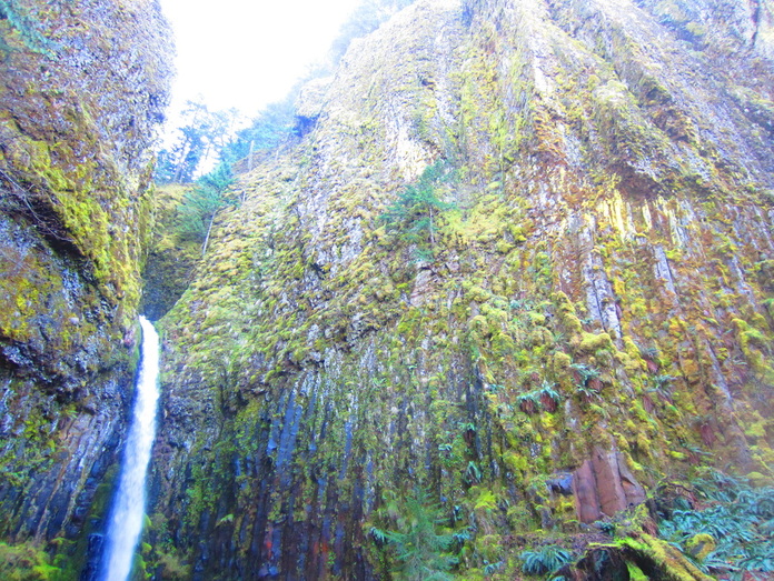
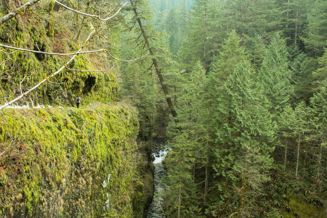
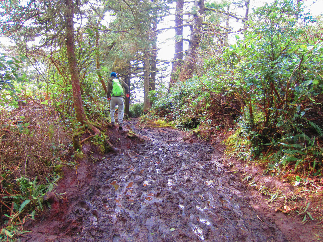
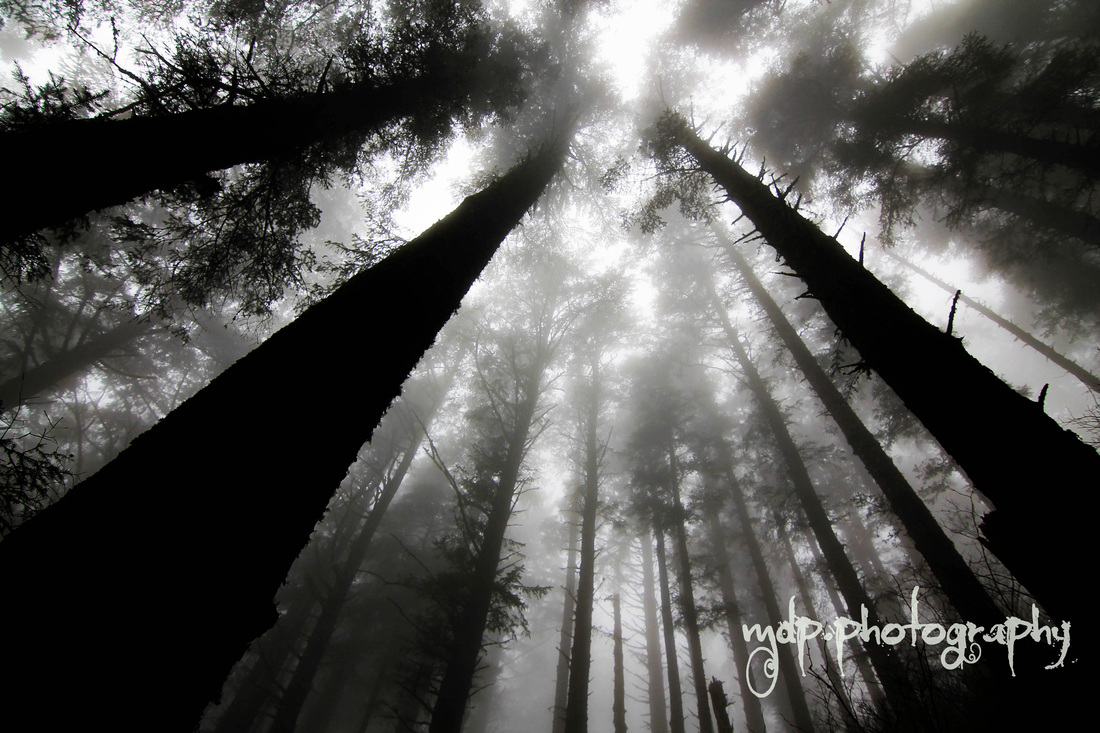
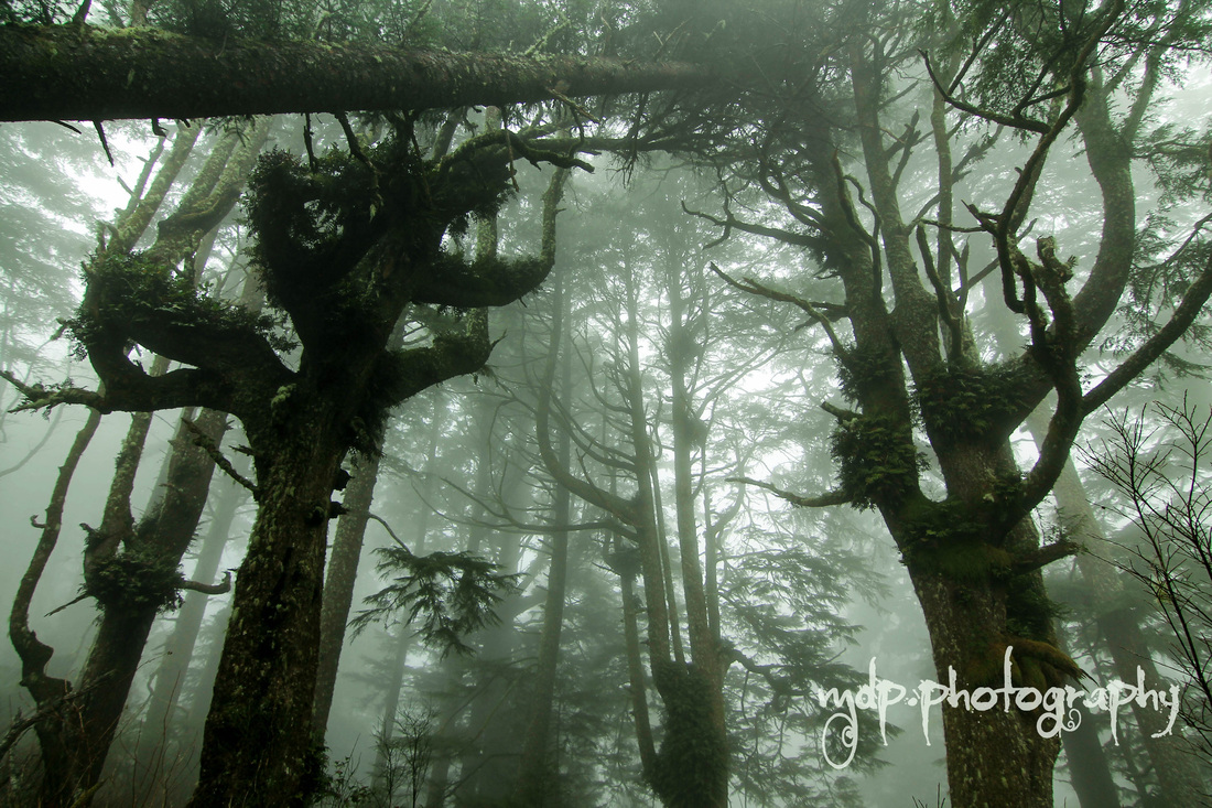
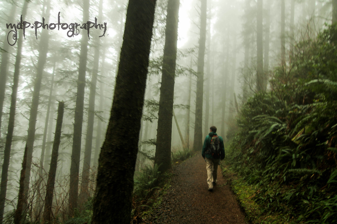
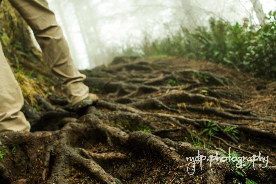
Everything about this hike is enjoyable! You can access this by parking just before crossing the Bridge of the Gods on the Oregon side. Display your NW Forest Pass. You can find the trail on the south side of the road. It is kind of a wonky start: you walk in the side of a road, under I-84 and then continue straight up a gravel road where you will soon see a sign for the trail. It is marked "Pacific Crest Trail." Join the trail here and walk through a swampy area. The trail begins to ascend and you'll soon be in a thick forest. The trail hugs next to the side of the mountain. The grade is slight so it is not taxing at all. A mile in you'll come to power lines, stay right and continue on the trail. The next intersection you hit you will take a right up the dirt road. If you go straight (continuing on PCT), you will soon come to a wooden bridge. I haven't explored the trail past this spot. When you take the right, it's the steepest part of the trail which concludes at Dry Creek Falls. It's a good spot for lunch or a beer! There is also a camping spot right next to it.
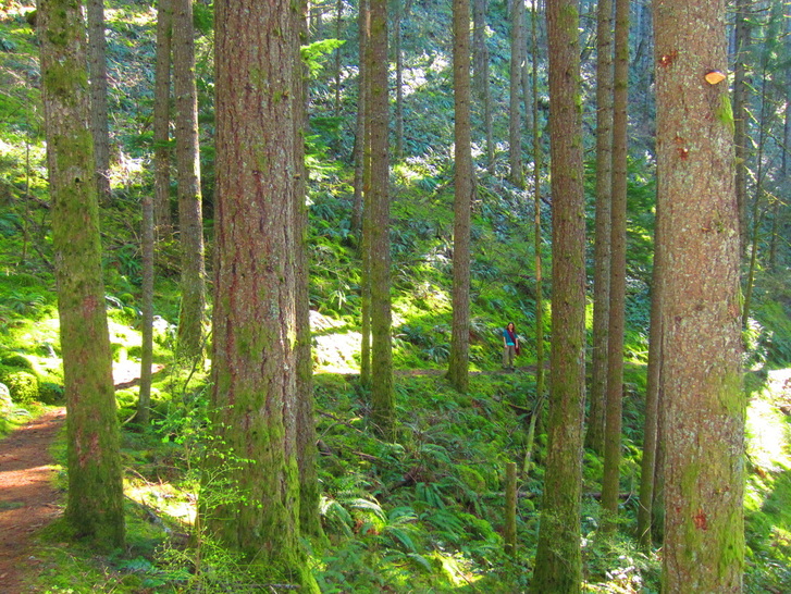
 The Hike:
0 Comments
Eagle Creek is a very popular hike because of it's close proximity to Portland and because the parking lot is right off of I-84. Because of this, at least I have read, it is popular for car burglary. I have been there multiple times and haven't experienced this myself. On a weekend with good weather, I would advise to go the earlier the better. Starting by 9am should suffice. If not, there will be crowds for at least the first part of the trail: to Punchbowl Falls. Aaron and I were lucky enough to catch sight of kayakers plunging down the falls. This can be seen looking down into the falls by a wooden fence. There is a side trail leading down to the falls which is totally worth it. This is also a spot to get your feet wet and possibly have a snack. To Punchbowl Falls is only 2 miles and is quite easy to complete. The next destination on the trail is High Bridge, it spans the gorge and is a great spot for photos. I haven't gone beyond this point, but I plan to reach Tunnel Falls this summer (a total of 12 miles round trip).
Watch out for idiots on this trail. Because it is so popular, there are inexperienced people on here and there are some dangerous parts where you are holding onto a wire rail and a steep cliff is on your right. Again, this is why I emphasize to either go early or go during the week if your schedule allows. This is arguably the best stop to whale watch short of hopping on a boat. The whales need to swim around the peninsula. We went during "Whale Week," I think that's a thing. I believe the best time to see the whales is the end of March. There were volunteers at the end of the trail helping the onlookers spot for whales. You will need binoculars. We stayed there for the better part of an hour before heading back. The trail includes an old growth forest and good views of the coast line both north and south. The trail was a bit muddy when we were there. Trail reports indicate that this is common. This cape is part of the "Three Capes Scenic Loop" which also includes Cape Meares (not that cool) and Cape Kiwanda (cool). Aaron and I did this hike again in January of 2015. We were hoping to spot some whales as we had the previous time. Unfortunately, the weather prevented us from having much visibility. It did, however, produce an amazing misty old-growth forest for us to hike through. We didn't see any whales, but we did see sea lions and a bald eagle. The Hike:
|
I moved to the Pacific Northwest in August of 2012. I quickly identified myself as a hiker. I want to document my experiences so that I can refer to them for myself and others to provide the best hiking experience. I also hope to learn more about hiking from others comments and recommendations. Archives
April 2016
Categories
All
|