The Hike:
- To Siouxon Falls:
- Elevation: 700 feet
- Distance: 4 miles RT
- To Chinook Falls:
- Elevation: 1,600 feet
- Distance: 7.7 miles
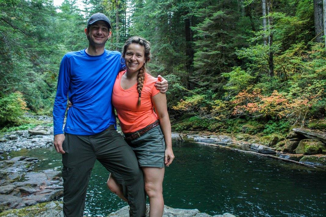
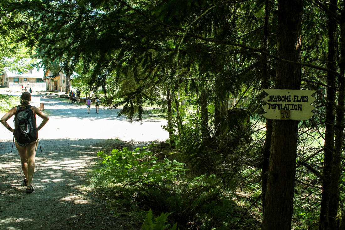
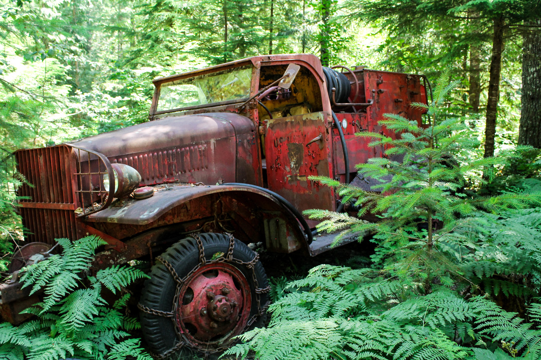
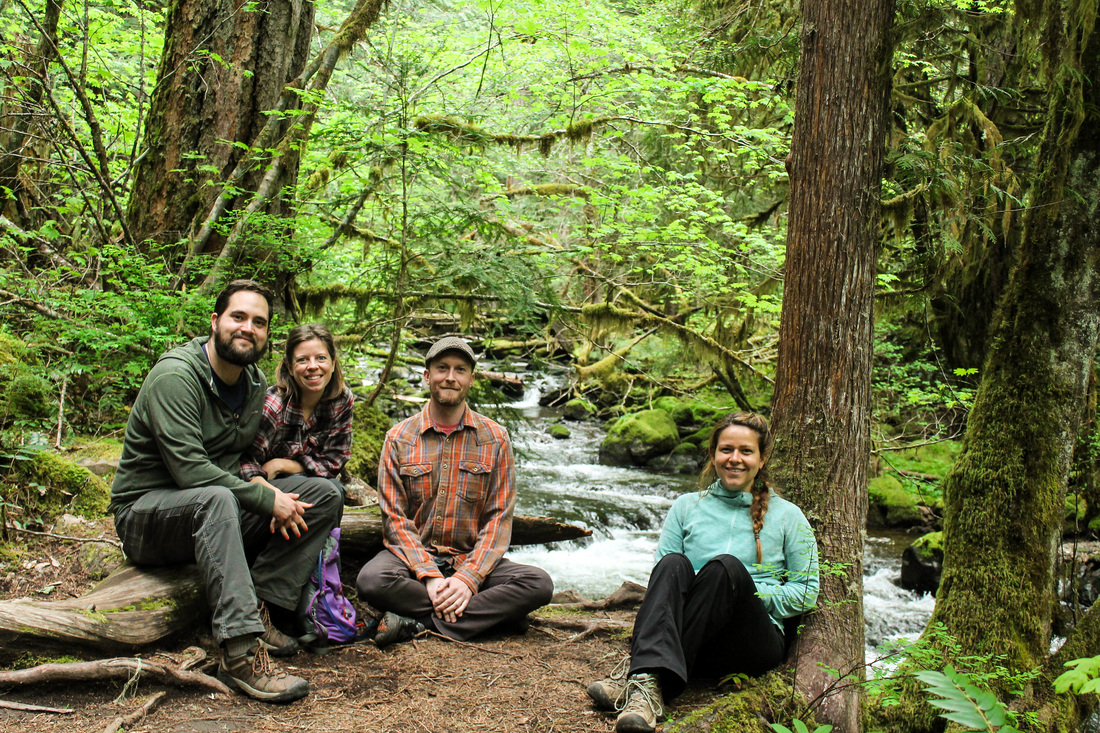
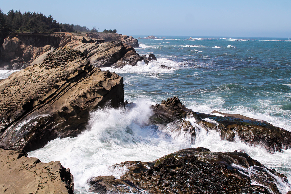
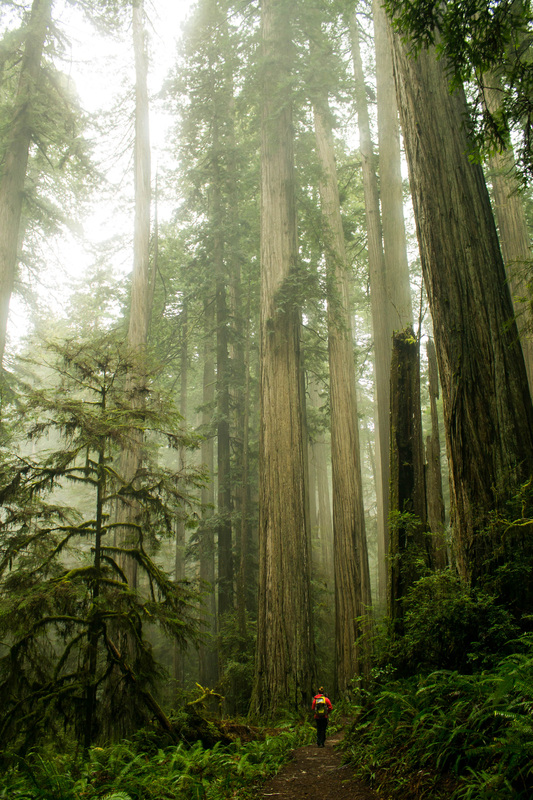
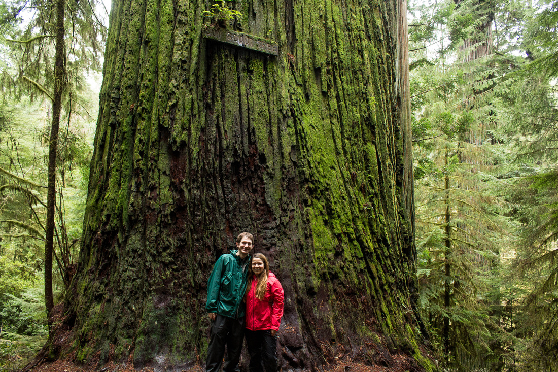
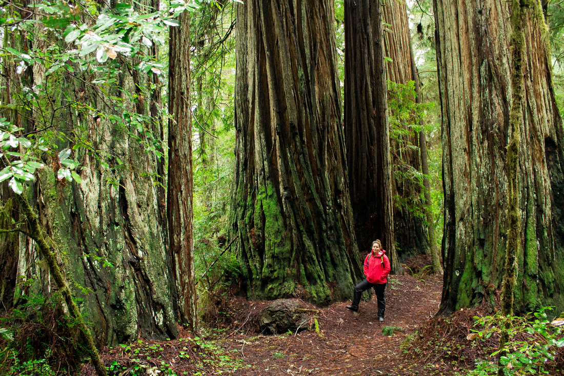
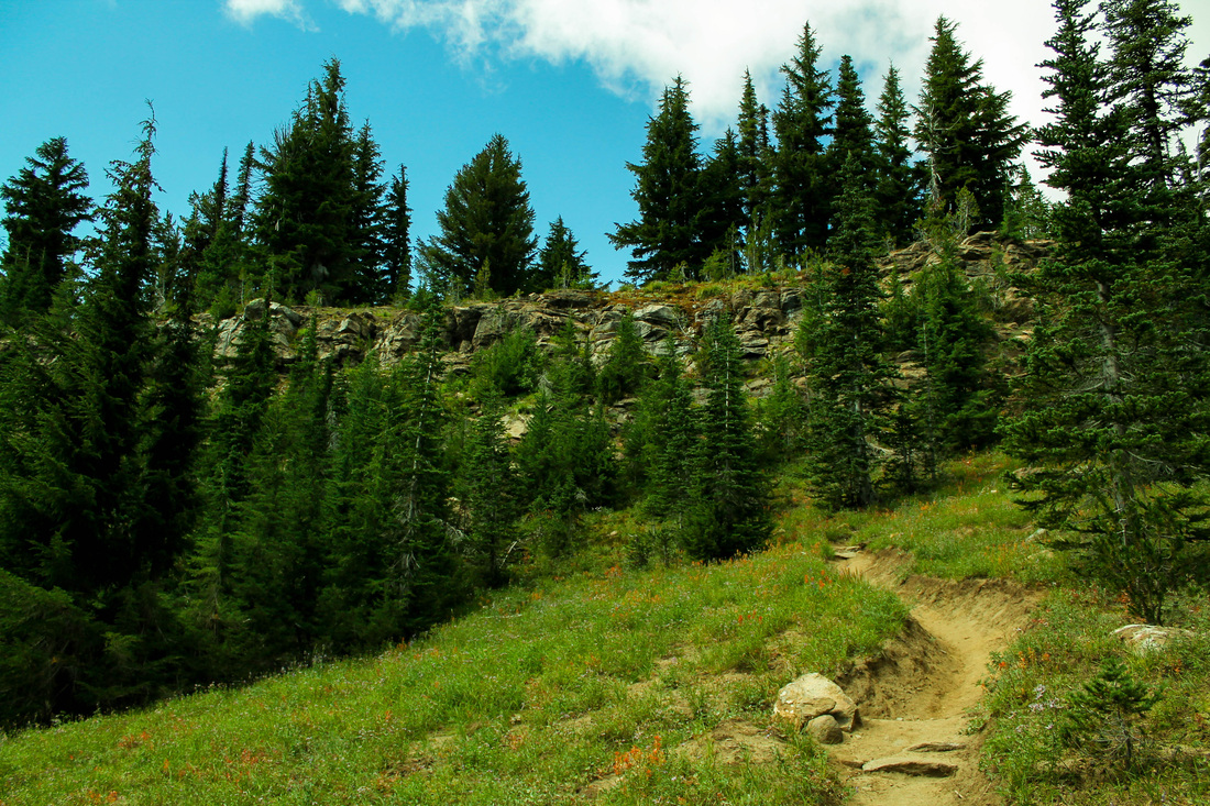
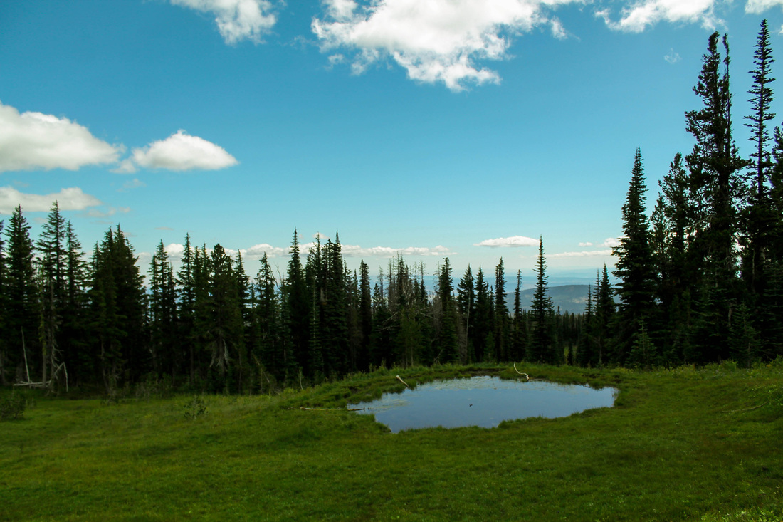
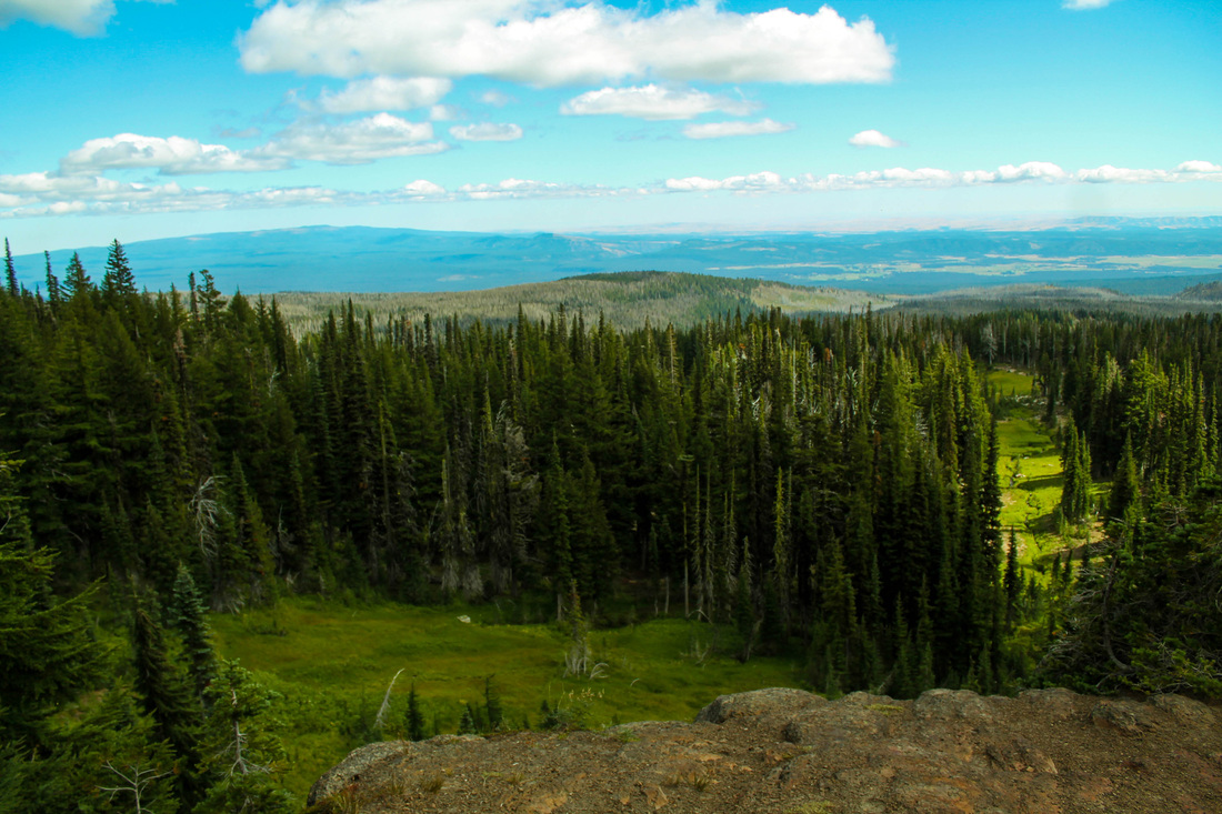
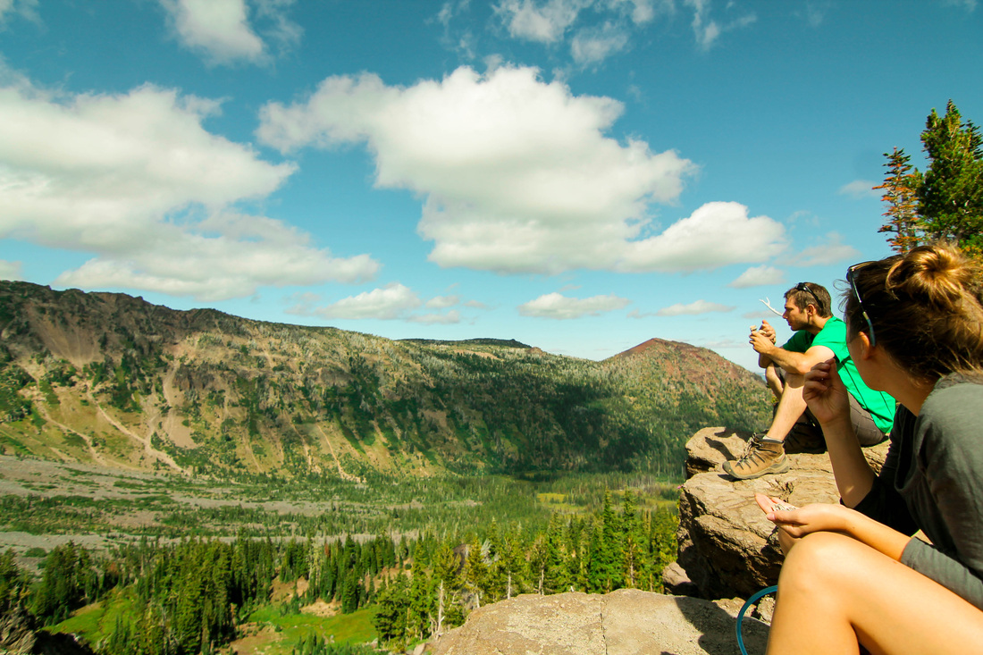
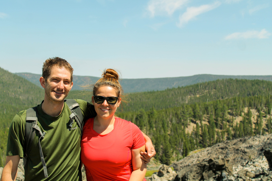
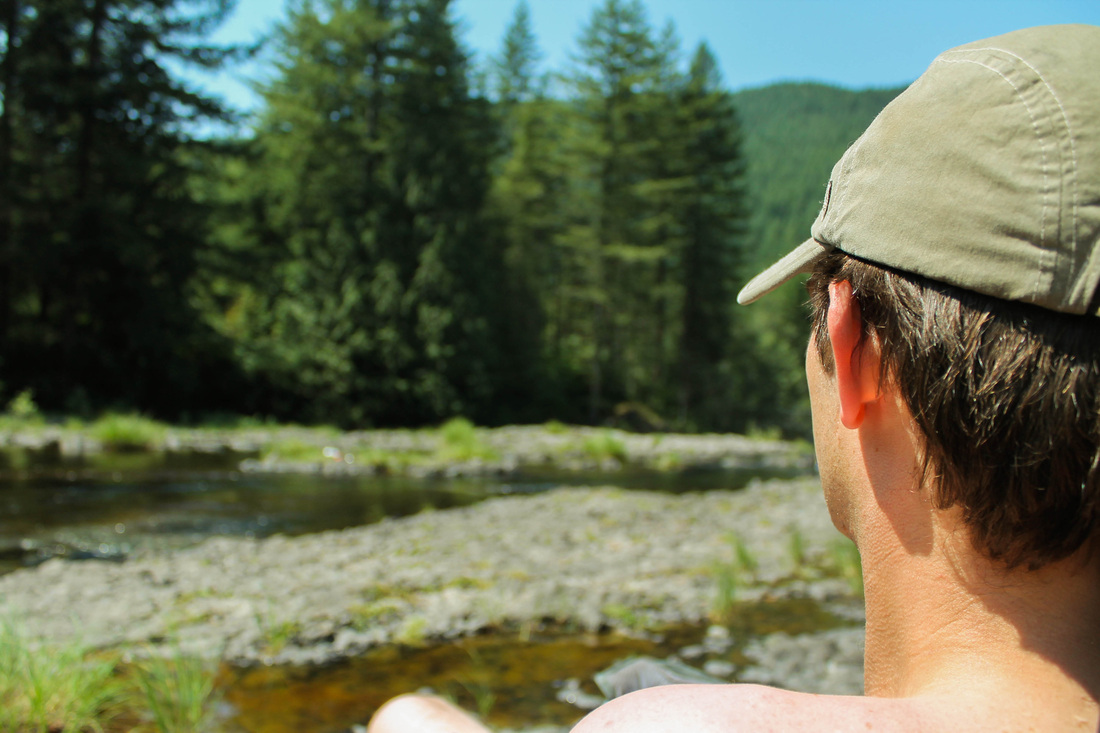
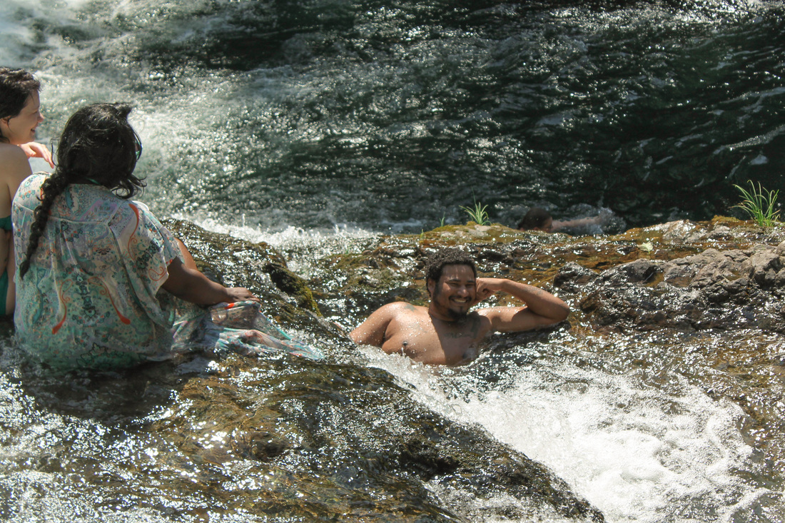
We fit this hike in quickly on a Sunday morning (had to get back home to watch the Packers beat the Seahawks). We headed into Washington towards the trailhead. The hike is in Gifford Pinchot National Forest. The road is paved the entire way, but the last 10 miles takes close to an hour to travel- narrow, windy and some pot holes. We expected to see an empty parking lot when we got there since it was a pretty obscure location. There were about 12 other cars there. I think most people utilize this trail for backpacking. There are several spots immediately on the trail and we passed a ton of people with overnight gear. 
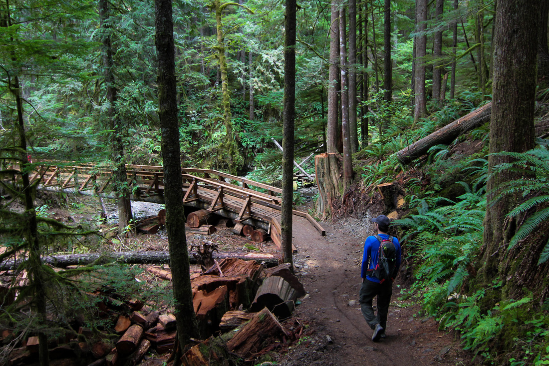
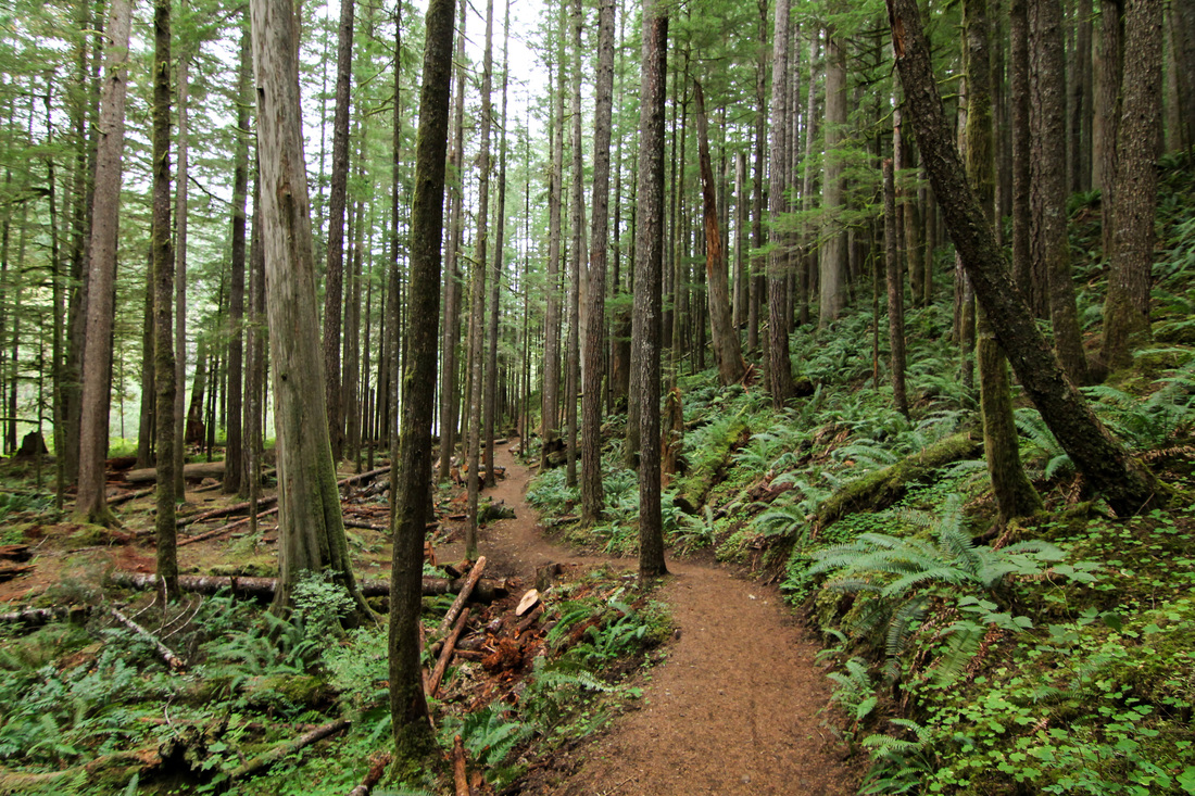
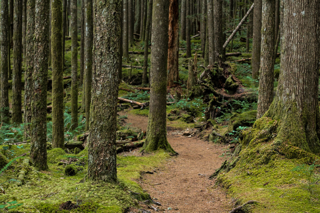
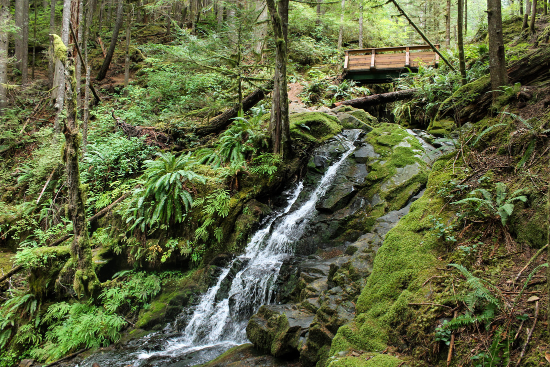
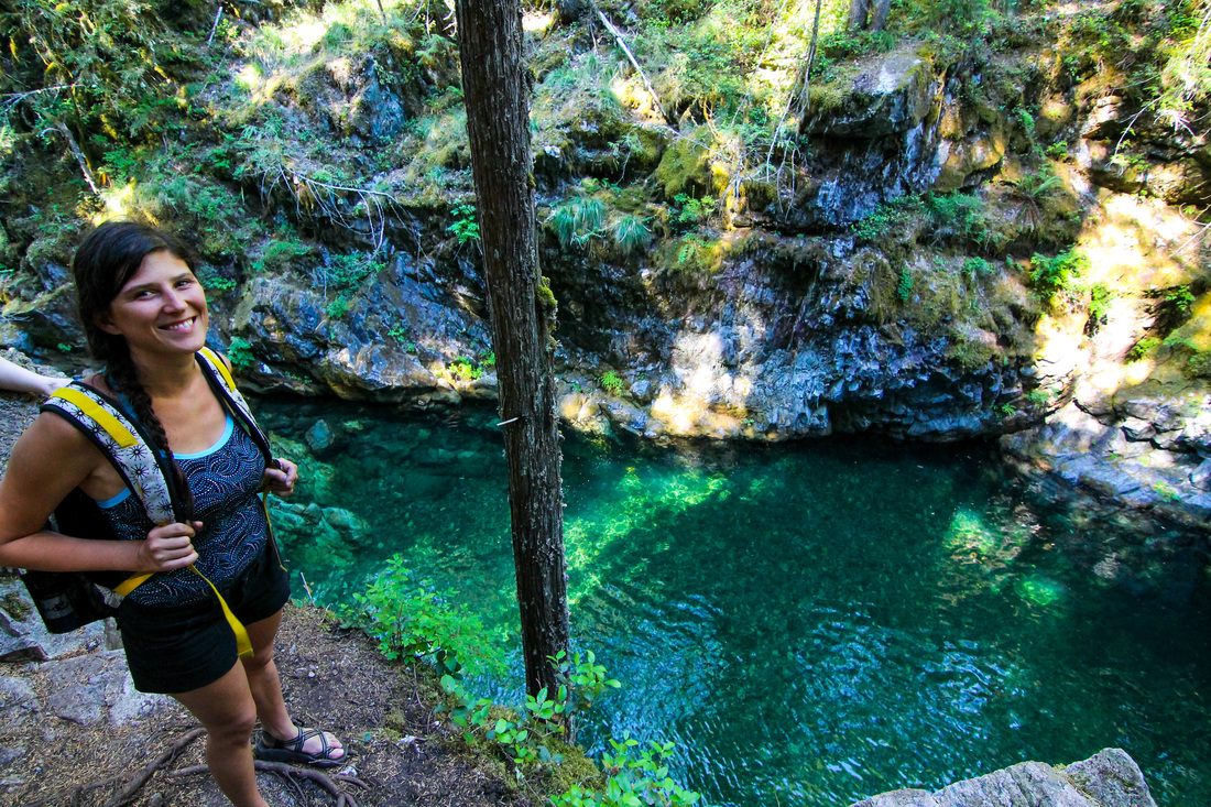
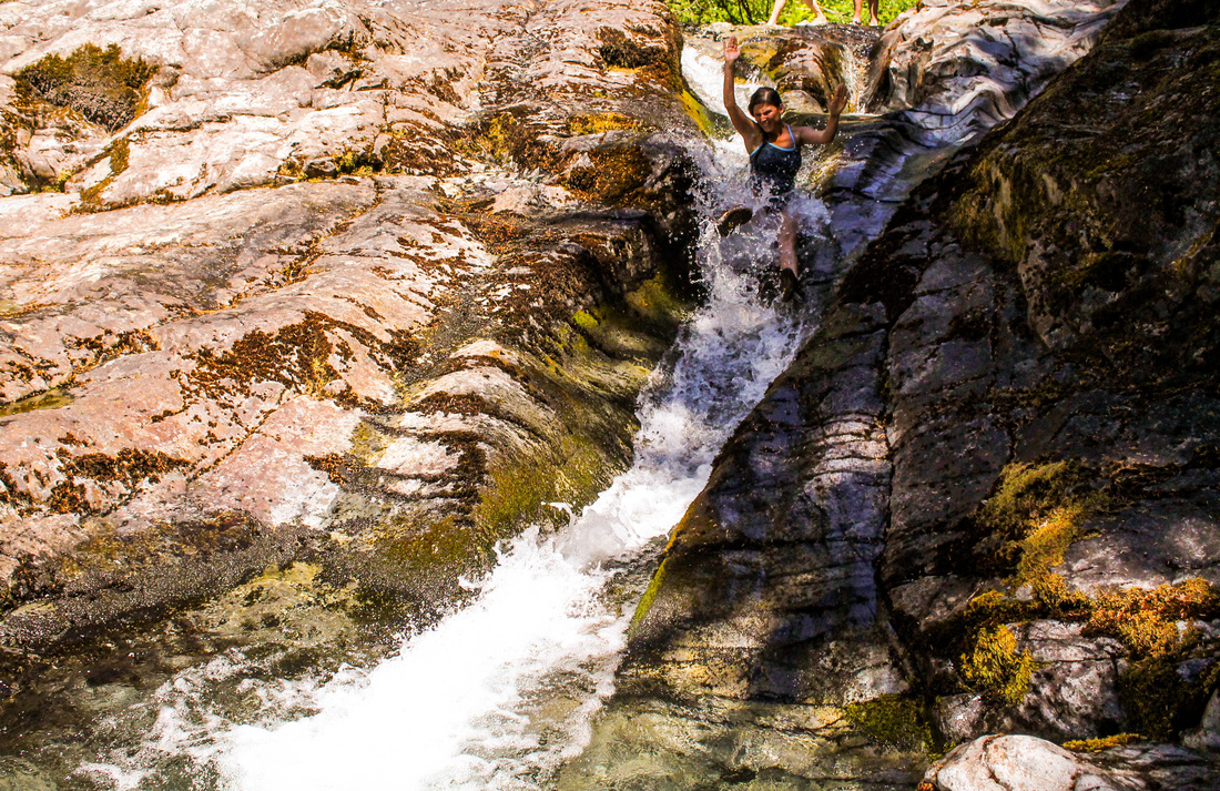
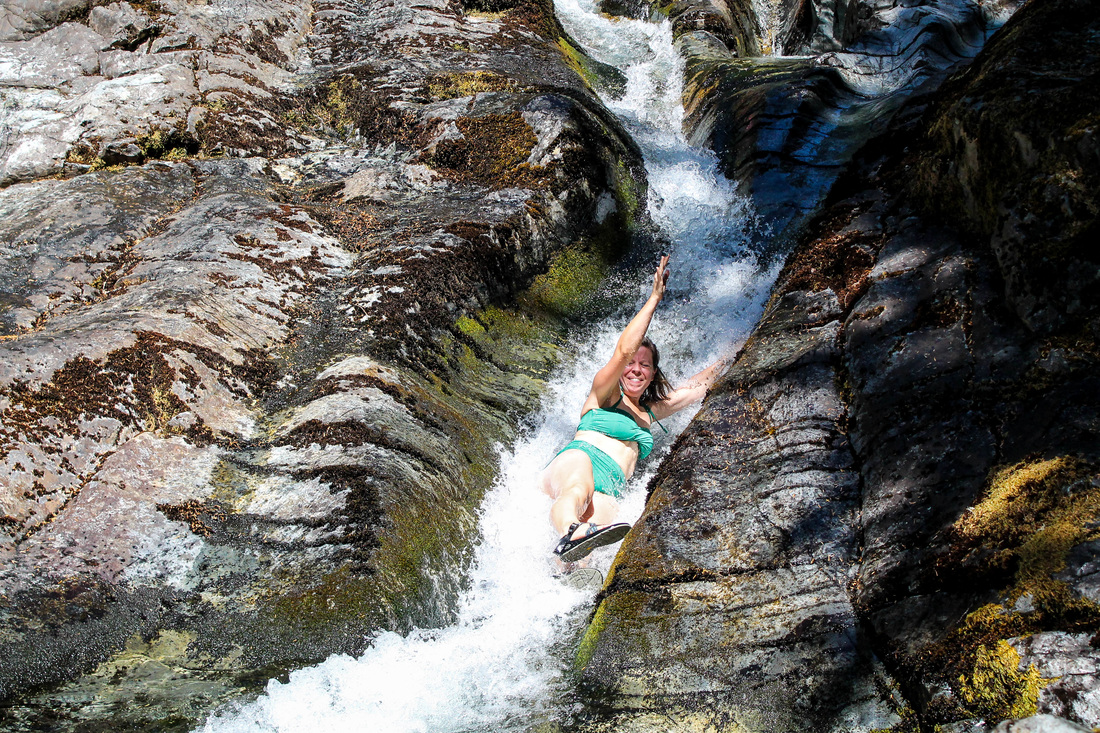
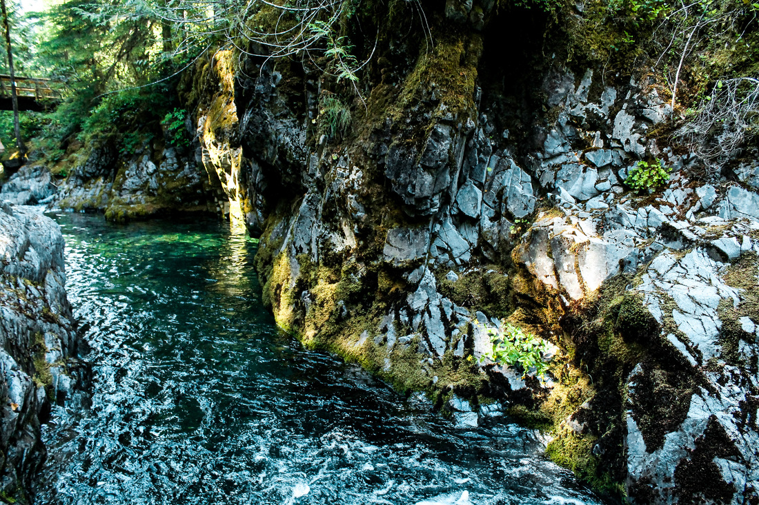
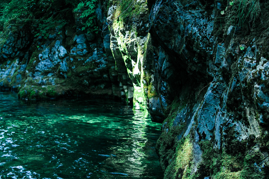
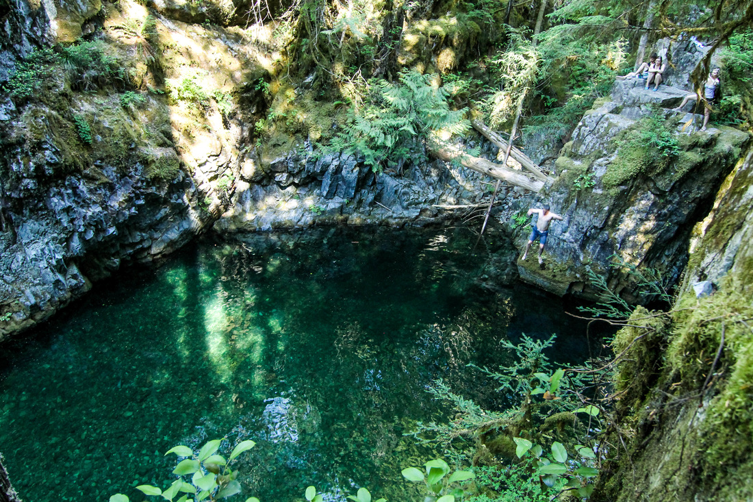
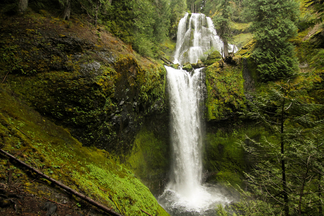
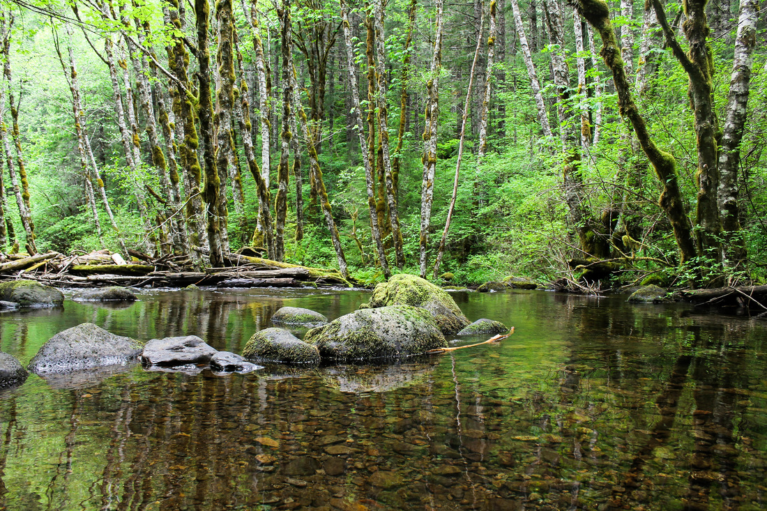
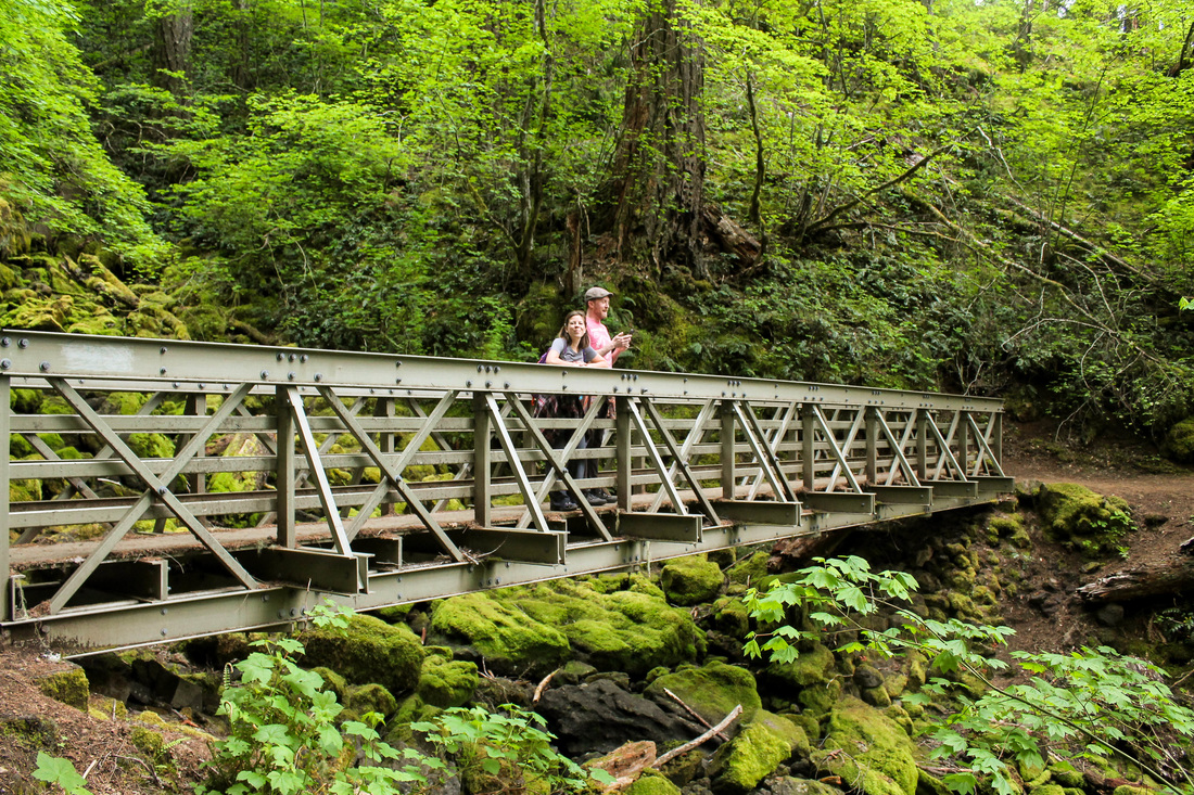
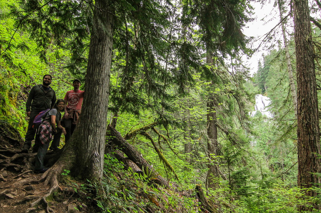
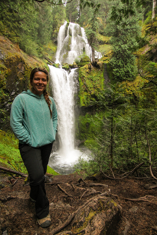
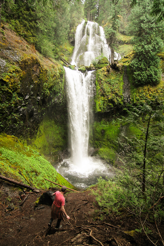
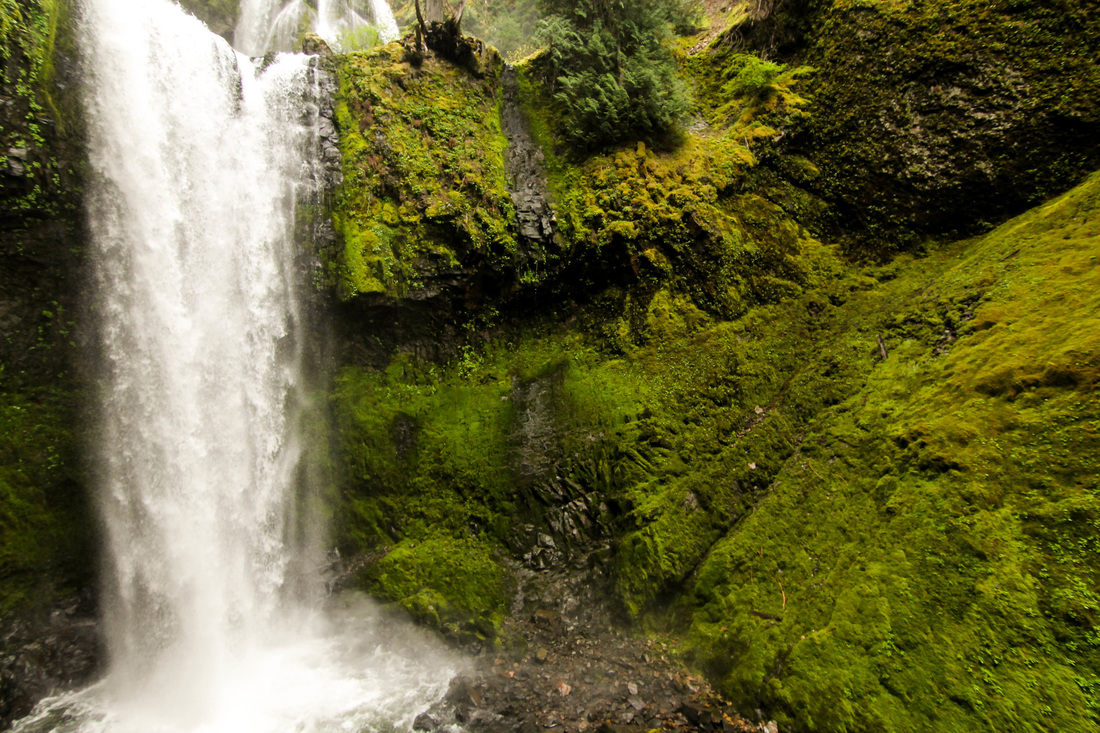
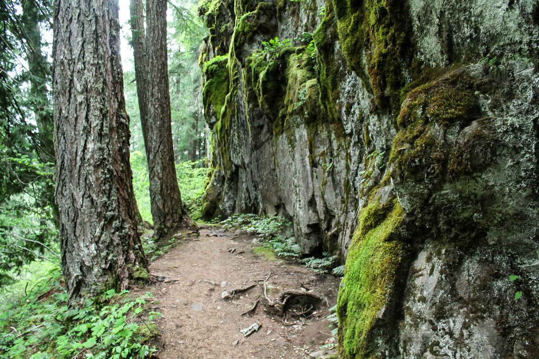
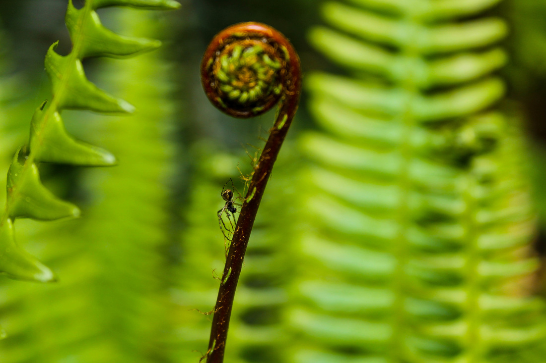
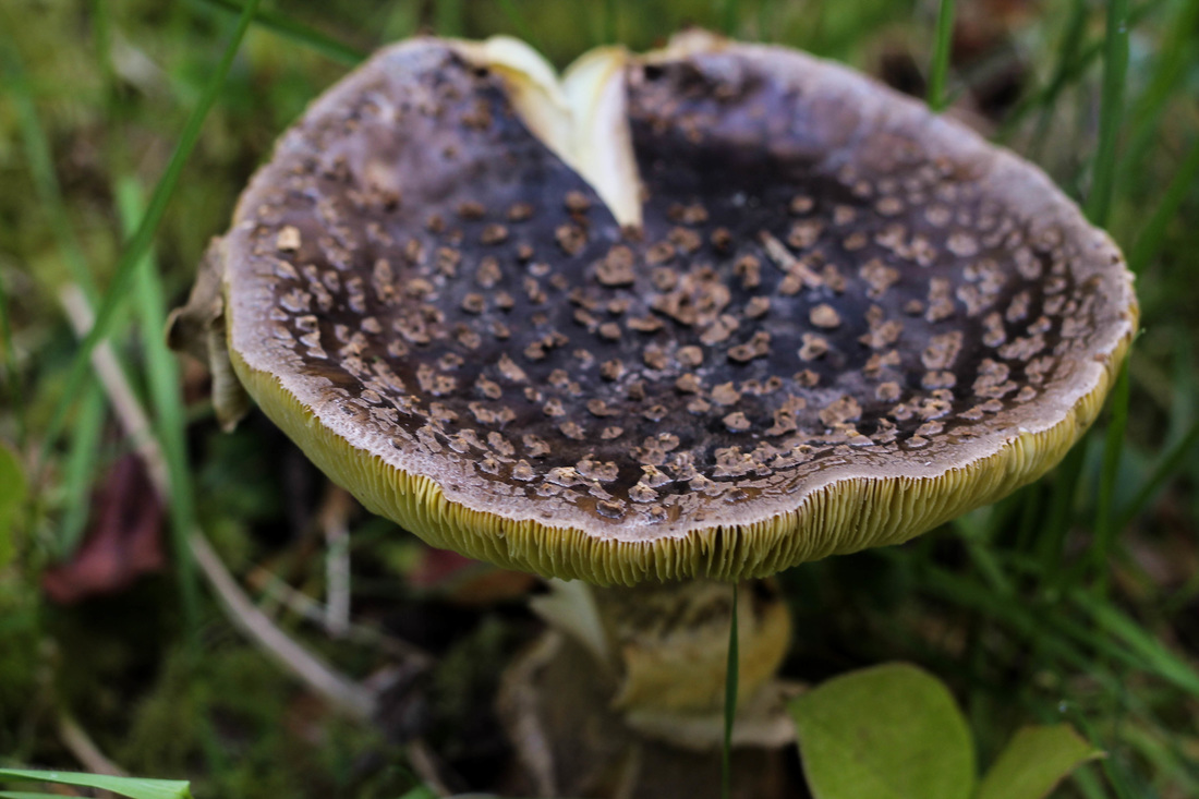
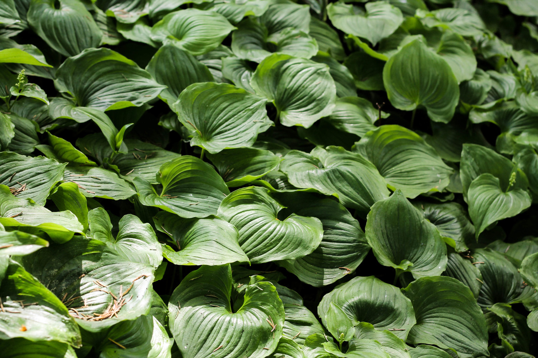
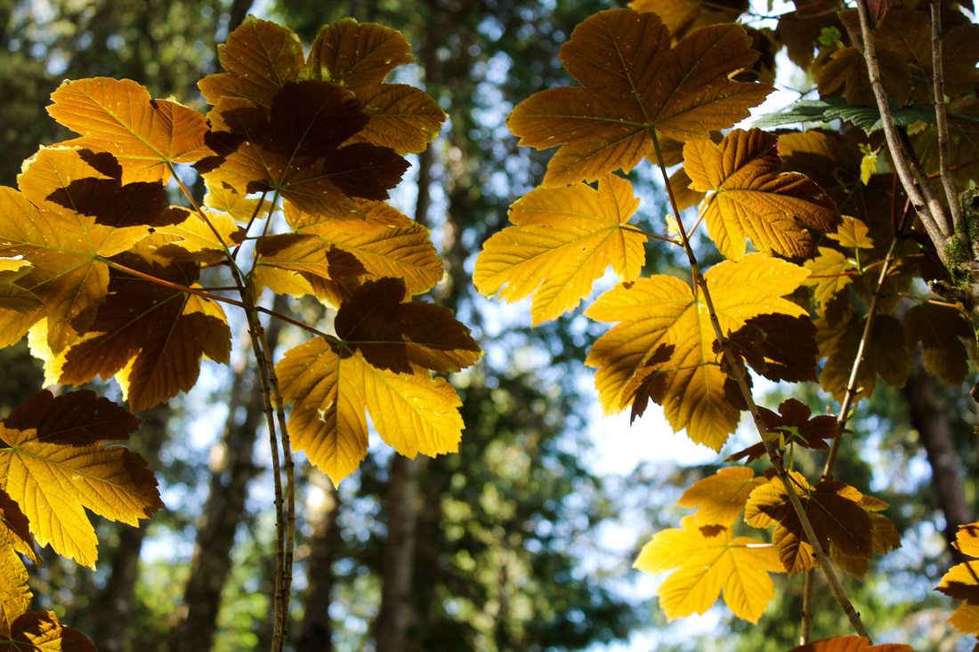
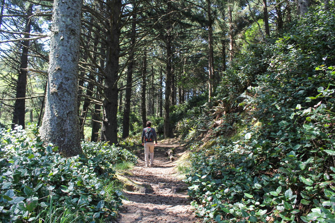
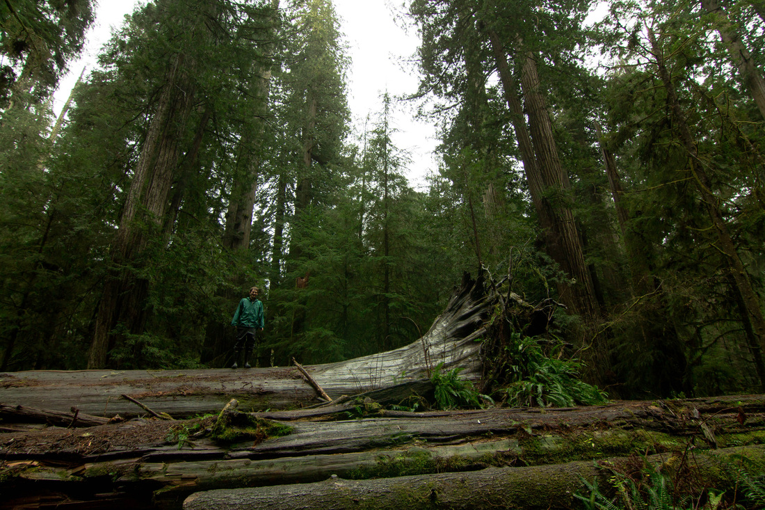
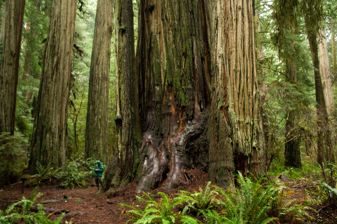
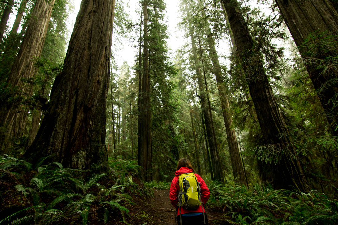
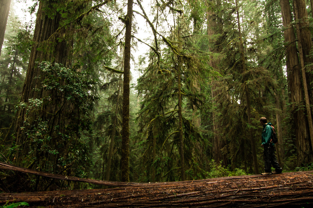
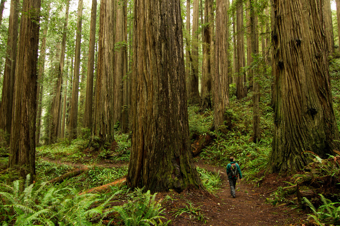
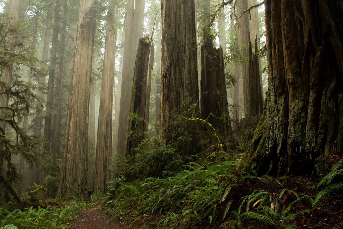
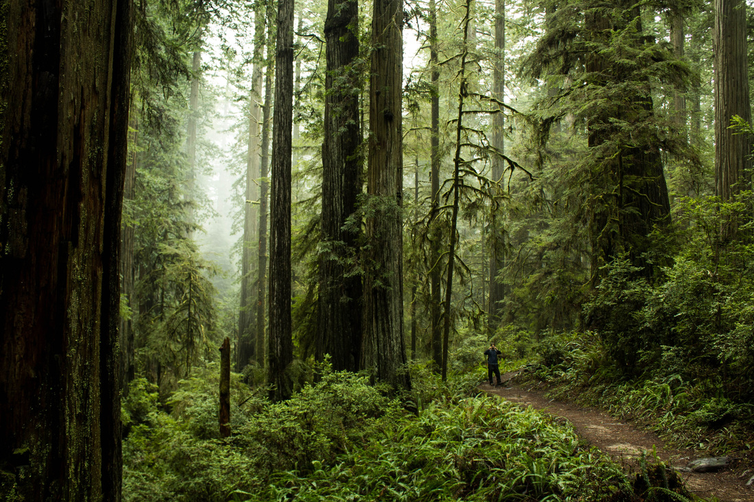
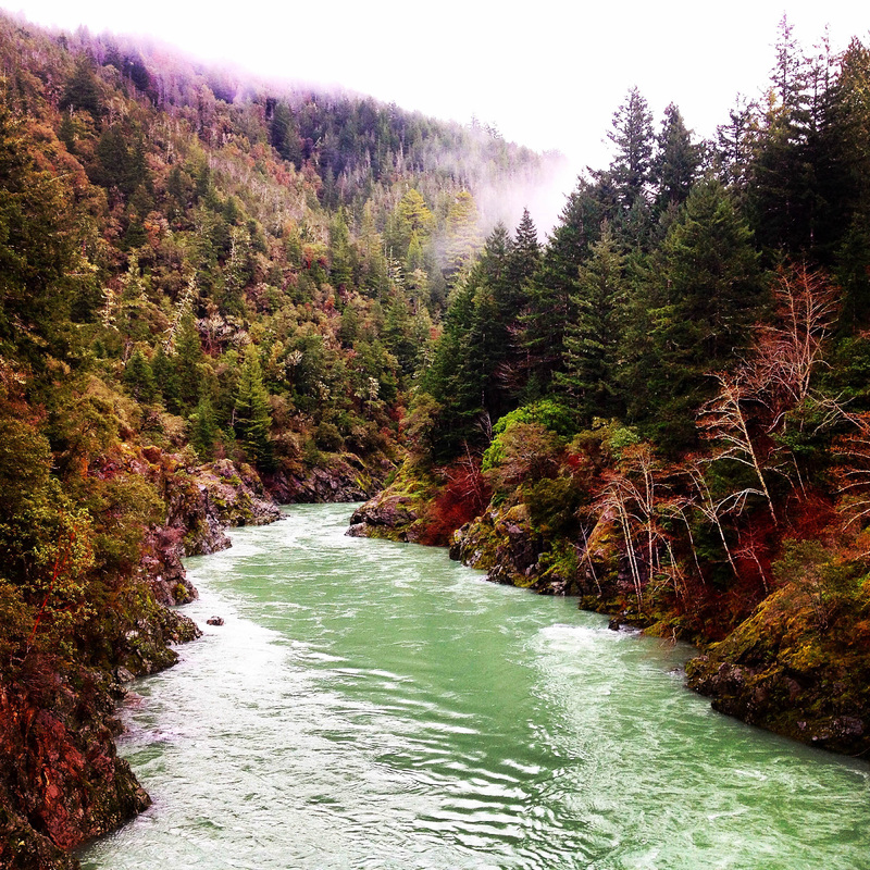
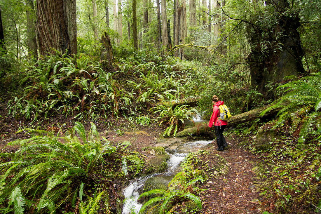
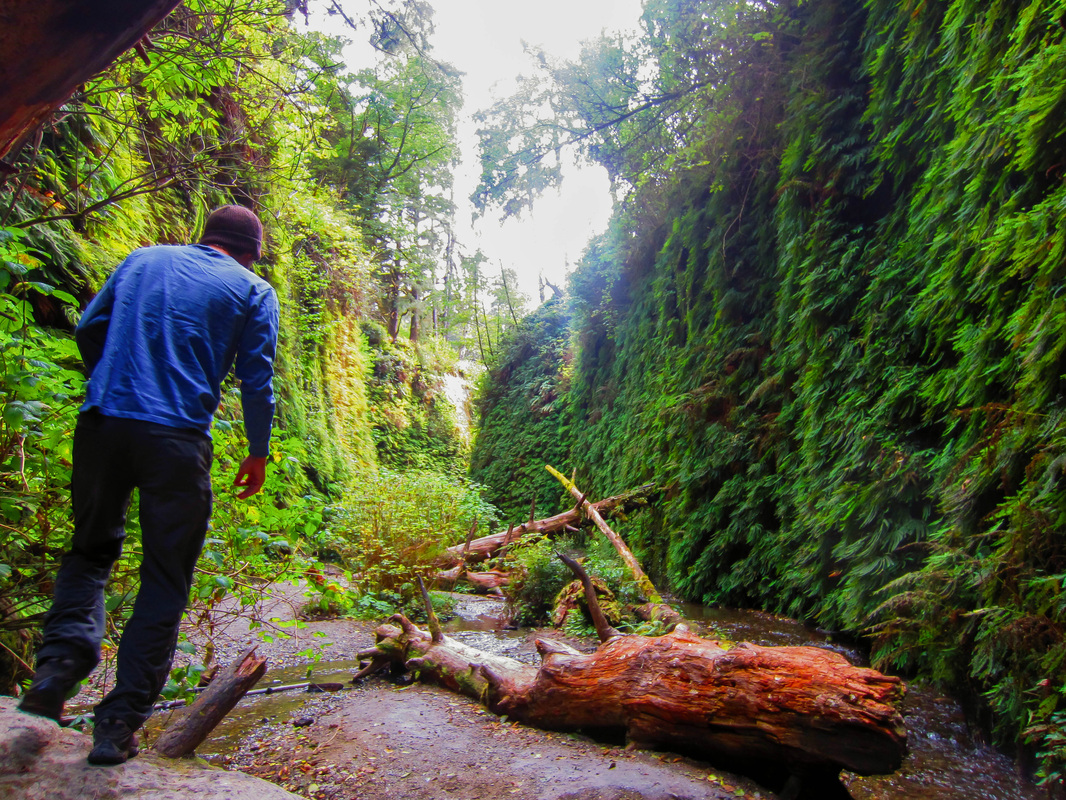
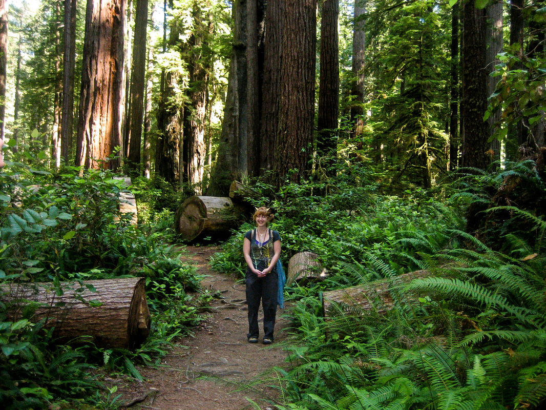
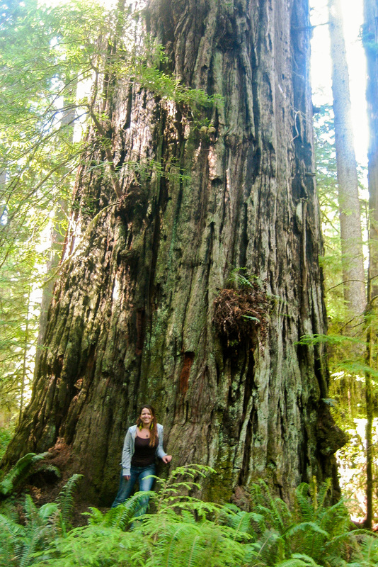
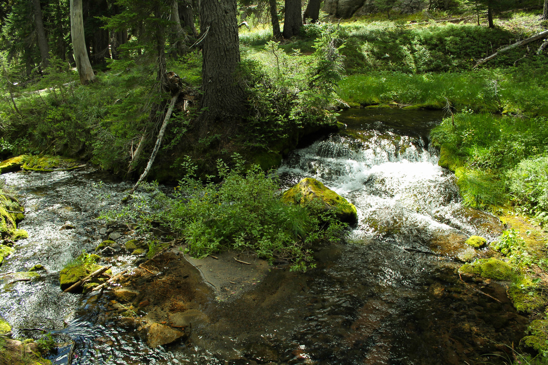
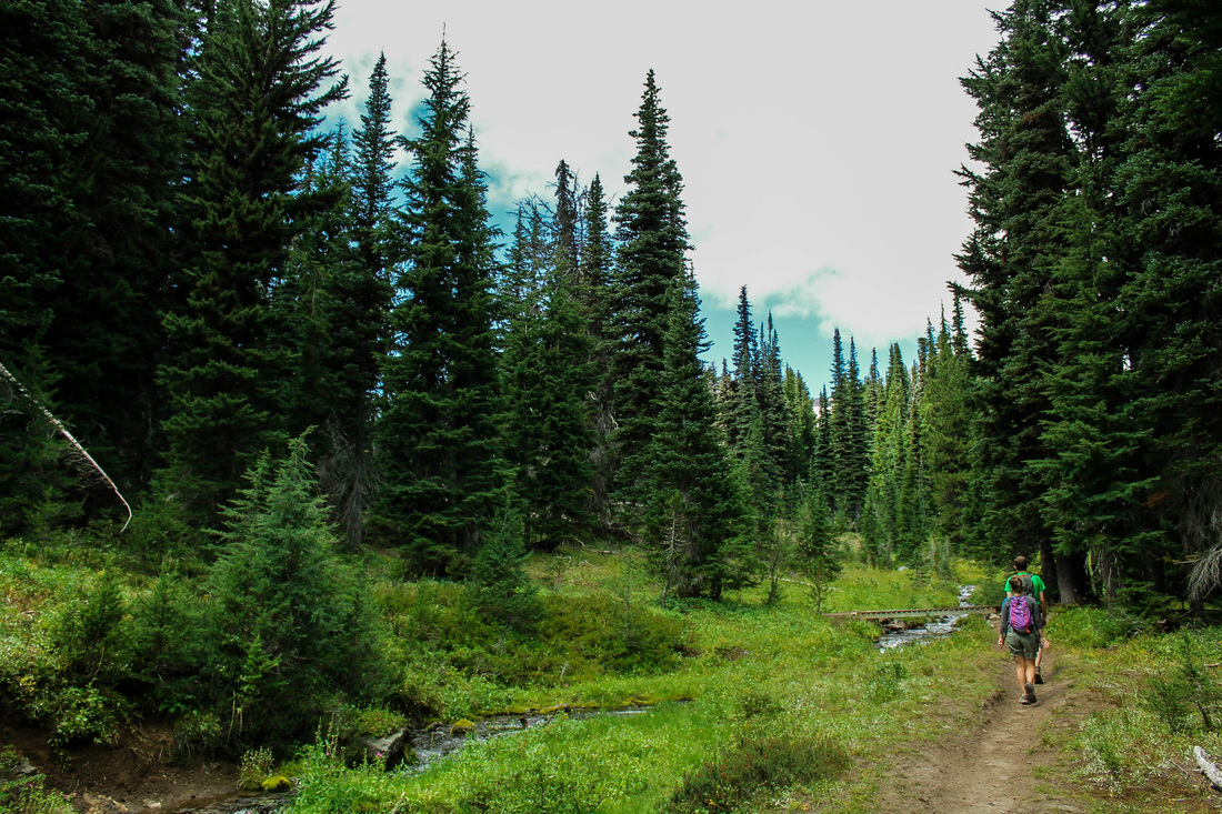
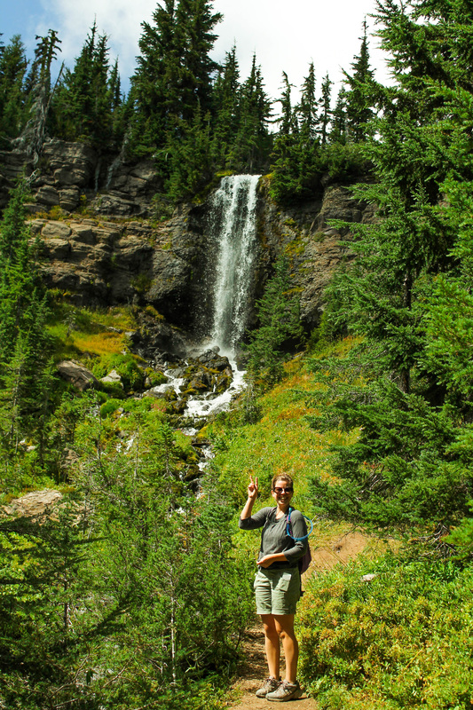
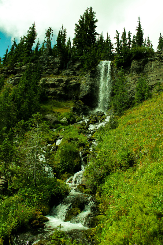
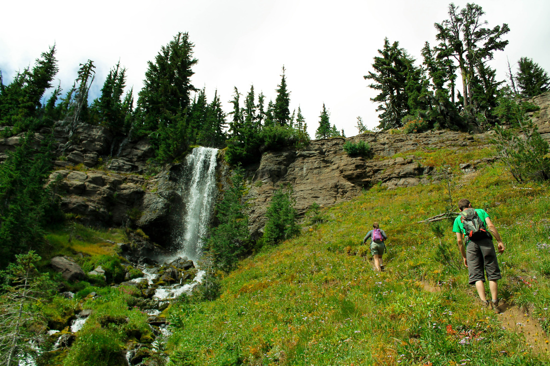
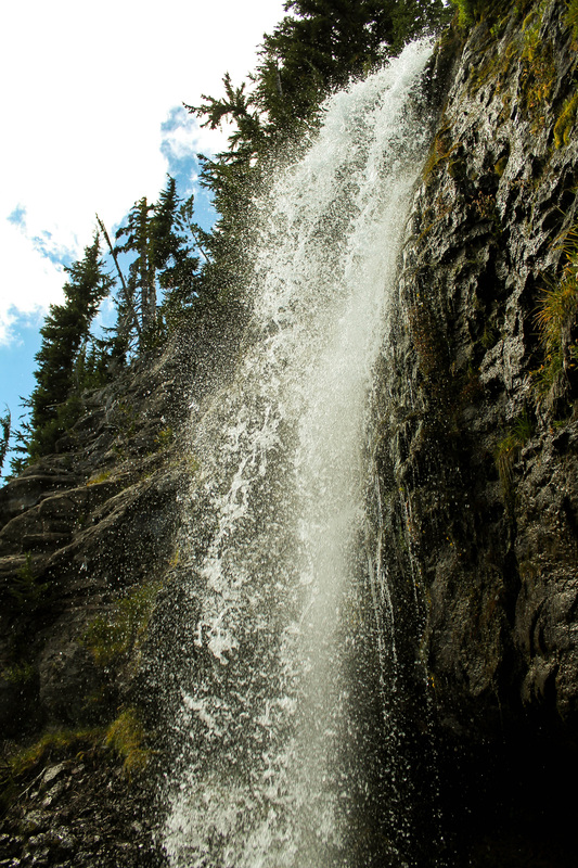
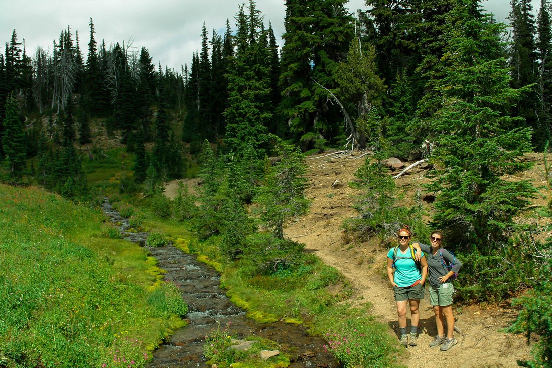
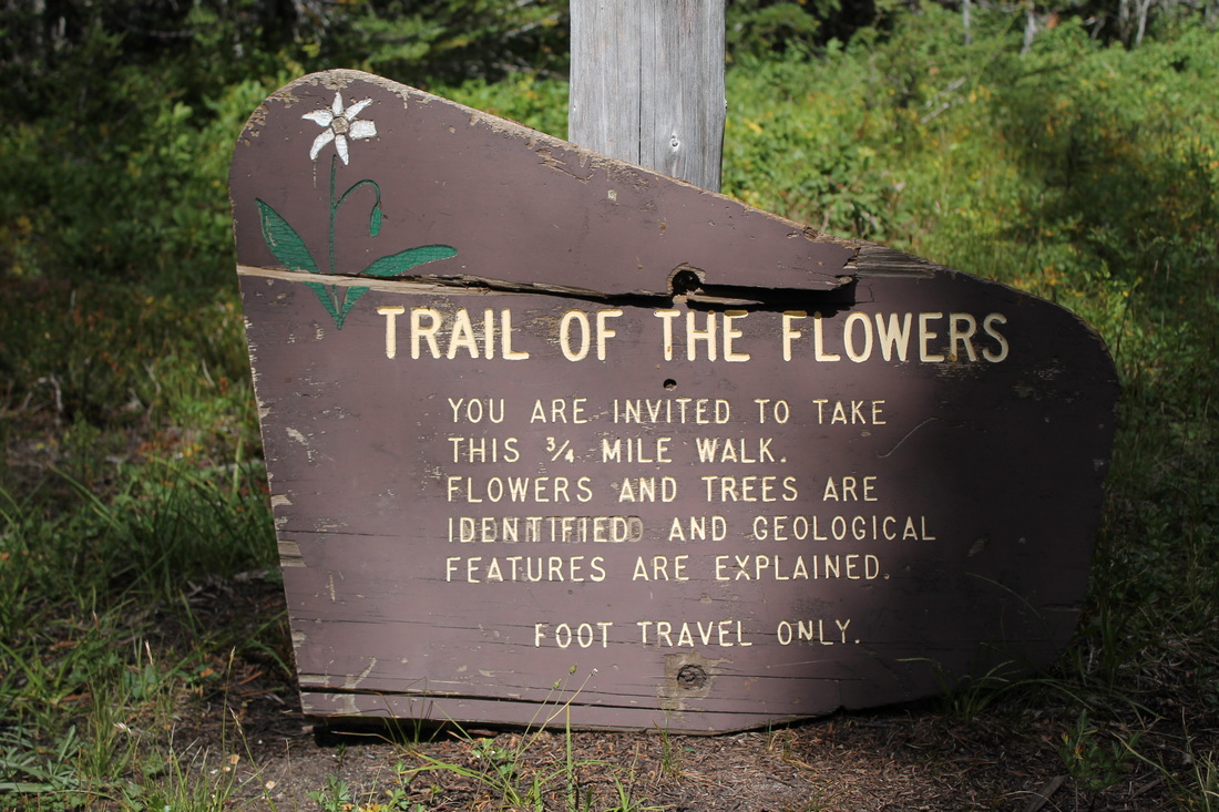
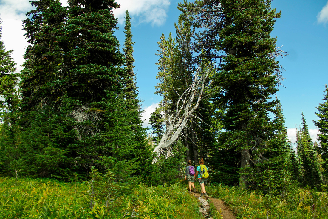
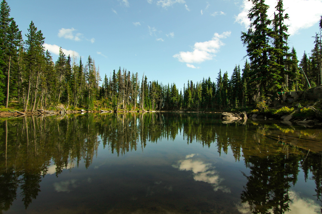
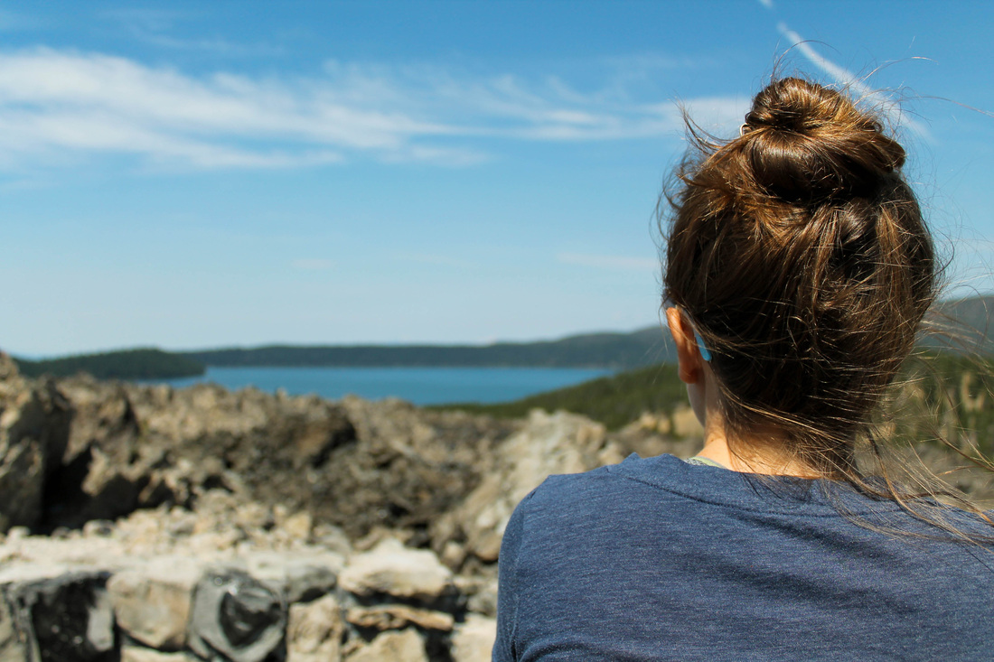
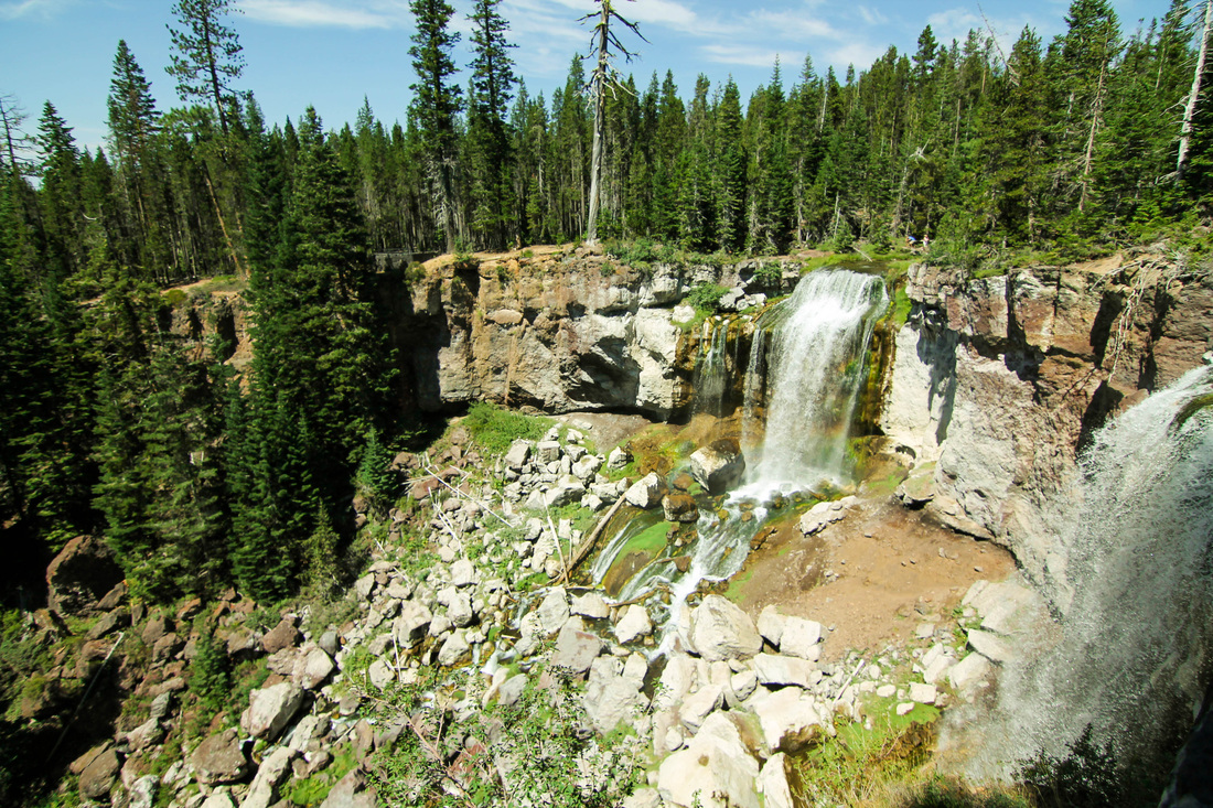
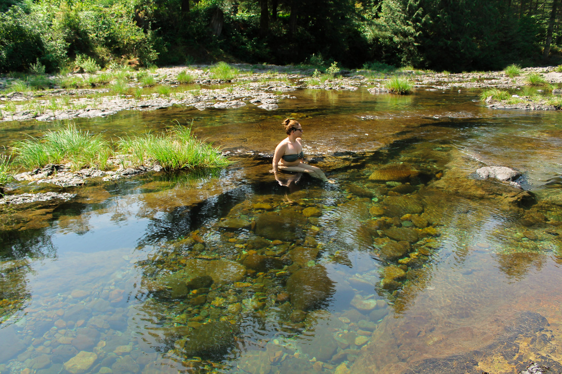
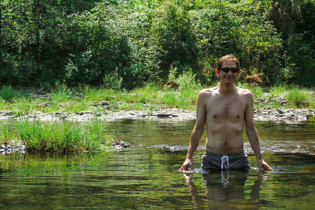
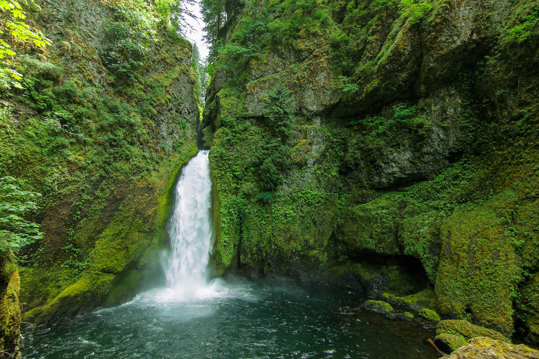
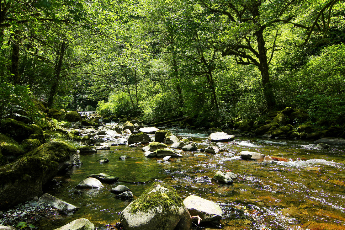
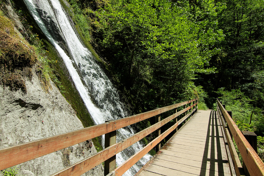
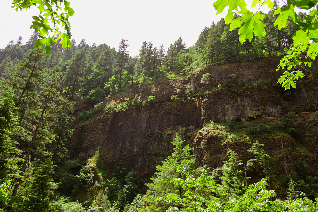
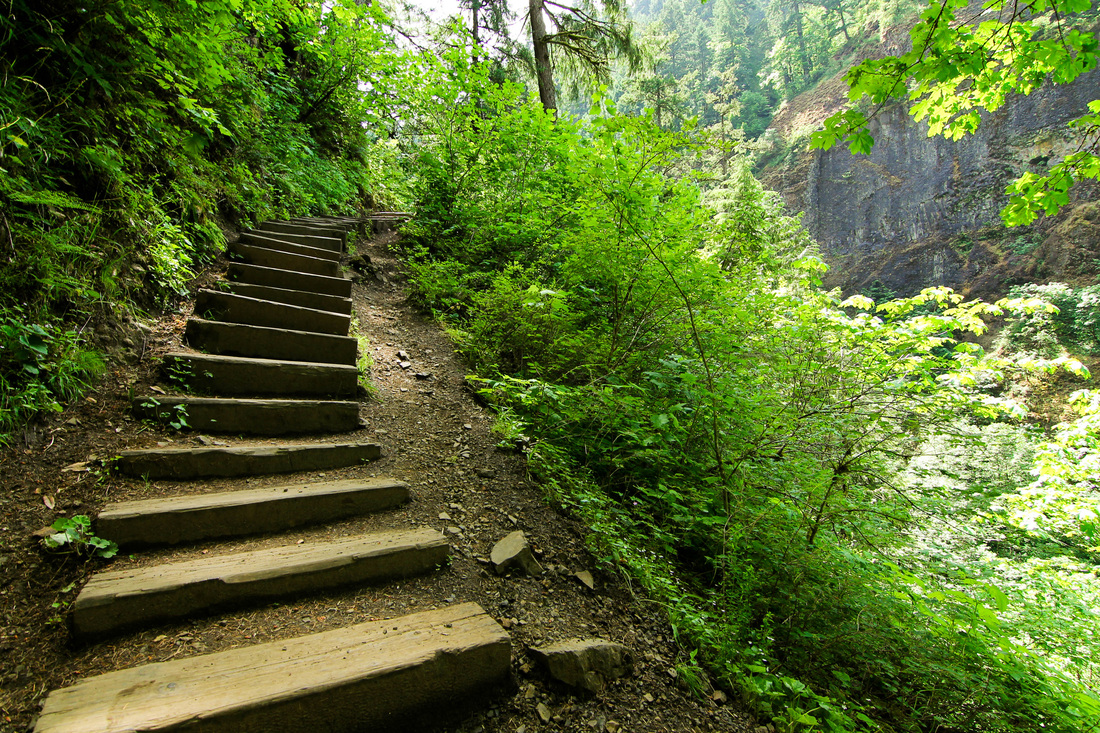
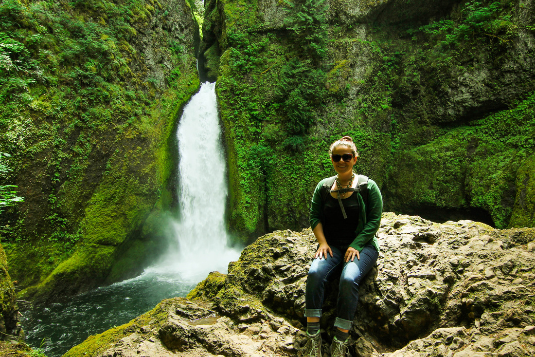
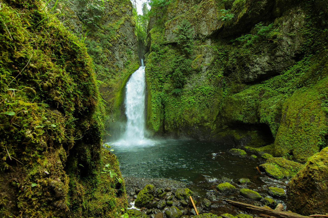
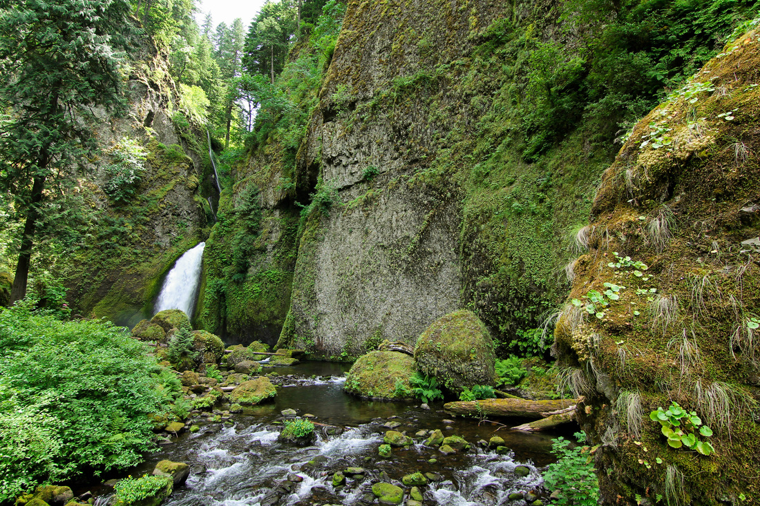
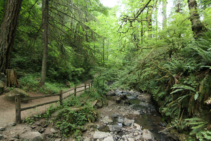
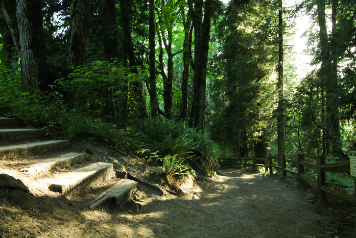
First, the trail descends to the creek. Then, it gently rolls through old growth, never straying far from the creek. Our destination was to Siouxon Falls. However, you can continue to Chinook Falls or Bobcat Falls. 
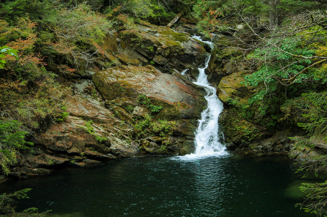
We turned back after Siouxon Falls and went back the way we came. We got home in time to watch the Packers beat the Seahawks in Lambeau 27-17. It was a pretty good day.
The Hike:
0 Comments
While hiking South Sister, Kate told me about the magic that is Opal Creek. We made plans to go the next week, 4th of July weekend, and so did one third of Oregon's population. Salem is the closest city to Opal Creek, which means the majority of the people there are of a different breed than the typical Portland-type people I'm used to seeing on hikes. More on that later. Kate and Amanda lead the way on this hike as Mary and I were first timers. The road leading up to the trailhead was already lined with cars for near a mile. We tested our luck and continued to go towards the trailhead. As we pulled up, a car left and we literally had the first spot next to the trailhead. As Kate remembered it, the hike was easy, so we all donned Chaco sandals and began to walk...and walk... and walk some more. We came across the "butt slide" and played here for awhile. After the slide, we continued on the path. When we came to an old town, Kate and Amanda realized we were on a different trail than what they had done before, but we were almost to Opal Pool, so we persisted (side note- at this time both of my Chaco Sandals had broken). The tiny town we arrived upon is Jawbone Flats. It was a mining town in the 1800's but now is an inhabited area for, I'm assuming, the park rangers and people who work at the forest center. It's pretty weird. A quarter mile past Jawbone Flats is Opal Pool. After watching several people jump into the pool, we headed back to the car. We turned down a different road to a paved parking lot that was still about half full and Kate realized that was where she wanted to go initially. It was probably about 5pm at this time and we took the short walk to the river and waterfalls. The scene was disgusting to me. There was still over a hundred people there with coolers and even grills out on the rocks next to the water. There were piles of wet clothes and beer cans everywhere. These are Salem people. Groups of drunken young males were filing out of there carrying coolers and stopping only to take pulls from liquor bottles. I can only imagine what the place was like 4 hours earlier. We spent a little bit of time here and left, collecting as much garbage as we could on the way out. This place is absolutely gorgeous, but I will never go there again on a holiday weekend, or, for that matter past noon. I do plan on returning, but I'm going to camp nearby and be there before 10 am to beat the crowds so I can have some sort of serene experience there. So anyways, this place is beautiful, definitely a must-see in Oregon. Make sure to get there very early on the weekend or, preferably, go during the week.
The Hike:
A nice little video about the area, includes people jumping into the Mary and I had planned on hiking Dog Mountain for months as it was the only weekend in May that we were both free. Unfortunately, on the Saturday we planned to hike, the weather didn't cooperate. We didn't want to work our butts off to not have the great view of the gorge, so we did plan B: Falls Creek Falls. Shane was visiting from Wisconsin, and I wanted him to see something other than the standard waterfall drive on the Oregon side of the gorge. Shane, Mary, Jordan, and I left Saturday morning after breakfast at our house. We followed directions to this hike out of the Curious Gorge book. They were pretty easy: turn North on Wind River Road and go through Carson's four way stop sign. Go past the old fish hatchery and take a right. Carson now has a stop-light. Good for them. You want the Upper Falls trailhead. The hike is a very low grade the whole way. We passed a few groups of hikers; not really too many people despite the trailhead looking full. The trail rolls through lush forest with several bridges. The elevation is really mild until the scramble at the end up to the top tier of the falls (if you decide to do so). We took in the sight at the view point in front of the falls. Then, we opted to go up the left side of the falls all the way to the top. There were some sketchy parts that, if you miss-step, you would fall to certain death. After snapping a few pictures on top, we headed back down the way we came. After the hike, we headed to Skamania Lodge for beers by the fire place and more views of the Columbia River. We drove home listening to La Bouche Pandora.
The Hike:
This hike was done on a Sunday after hiking at Golden and Silver Falls. This hike is best done with 2 cars in order to utilize the shuttle system. Luckily, we could do just that! We parked Kate's car at Cape Arago State Park and then the 4 of us drove back to Sunset Bay to begin hiking. There's a beach right there to admire before starting the trek. The trail climbs slightly and it's not long before you have your first look at the rugged coastline. Follow the small spur trail down to the Norton Gulch. Spend a few minutes here looking at the rocks with shallow water and bright green moss. After the gulch, continue south on the trail and you'll reach Shore Acres State Park in about 2 miles. Some of my best pictures from the day came from this park. There are great spots to watch the waves crash into the rocky shoreline. There is also a really great botanical garden that is definitely worth checking out while you're there. There is supposed to be a Mansion there, but we didn't see it, which led me to question: how big of a mansion could it really be? After spending some time in the botanical gardens, continue south and spend some time on a sandy beach! I collected sand here for my mom (she has me do this when I travel places) and we selectively found pretty purple pieces of shell to add to the collection. After enjoying the beach, continue on the trail as it climbs up and, then, hugs the coastline once again. Explore, where you can, on the rock formations. It's great to get close to the crashing waves. The next stop is Shell Island Overlook, where you can watch seals and sea lions. After viewing the marine life (bring binoculars for this), cross the road and get back on the trail. This is the only semi-difficult part of the trail. It climbs up for about 10 minutes of straight hiking. It emerges at an odd spot- an unmarked gravel road. Go right on the road and you'll happen upon a small clearing (there was a picnic table and port-o-potty there when we were there). Go across this spot and walk down through some trees towards the road and you're back at Cape Arago State Park. The Hike:
Elevation: about 200 feet Distance: 4 miles if you have 2 cars to shuttle Free to park at Sunset Bay I realized later that we missed another sea lion viewing point at Cape Arago. Make sure to check that out. Follow a short trail to the waters edge. To celebrate the 4 year anniversary of the Packers winning Superbowl XLV (which happens to coincide with our dating anniversary), we decided we wanted to take a bit of a road trip. It had been over a year since our last visit to the redwoods, and we were overdue to return. Portland had been having an amazing winter of warm weather with many appearances from the sun. We hoped that the great weather would continue for our camping trip. About 10 days before our mini-vacation, my boss brought to my attention that an "atmospheric river" was heading straight towards northern California and the PNW. We reluctantly decided to keep our plans (as the heavy rainfall was expected to hit all areas of Oregon within a 6 hour drive from Portland). We decided to get a hotel room in Crescent City instead of camping. The drive down was pretty dry until about an hour out from Crescent City. Aaron did a great job navigating the windy road along the Smith River. With sign after sign warning us of landslide potential and falling rocks, he kept cool (I did not) and got us to our hotel by 10:30 pm on Friday. That night, the howling wind was so loud (measured at 50mph) that it woke me up from a deep sleep. As I lie there awake listening to the powers of mother nature, the hotel lost power. I started thinking of other things we could potentially do with our weekend, as it seemed improbable that we would actually be able to go out hiking with this storm upon us. When we woke up the next morning, the winds had died down and the rain had stopped. I called the ranger station, and the guy I spoke with basically advised me not to go out hiking that day. He said nearby towns were still without power, and the high winds would put us at risk for giant branches falling 100+ feet from the sky. What a way to go that would be: crushed to death by a giant redwood branch that is the size of a full tree in other forests. I decided not to heed the warnings of the knowledgeable ranger, and instead, take my chance on the redwoods. We fueled up with hard boiled eggs and bananas (thanks America's Best Value Inn for the "continental breakfast") and hit the road. SIMPSON-REED TRAIL The first hike of the day was the 1-mile loop Simpson-Reed Trail. Easily accessible from the road, and a short hike, it was a great choice while we still waited to see what happened with the weather. Although there is nothing really remarkable about the Simpson-Reed Trail, it is a nice loop trail with negligible elevation gain, big trees, and interpretive signs. It's right off of Hwy 199, so it is easily accessible off the road. A great hike for the older folk. Since the weather was still cooperating, we decided to go to a favorite old-growth grove: Stout Grove. During the summer you can access Stout Grove through the Jedediah Smith campground. There is a seasonal footbridge that allows you to cross the Smith River. We had to try the entrance from Howland Hill Road. We took the road until it turned to gravel and followed it for several miles more until the road was blocked by cones. Fortunately, there was another trail we could access from this road: Boy Scout Tree Trail. BOY SCOUT TREE TRAIL This was the hike we did. It's an out and back hike totaling 5.6 miles. The Boy Scout Tree is a 2,000 year old enormous tree. It's 27 feet in diameter and 300 feet tall. I had hiked this trail in the summer of 2011, with Sarah Voruz, on a bright, sunny day. With summer and sun, comes people. On this trip with Aaron, we didn't see one other human on the trail; or any of the trails we hiked that weekend for that matter! Boy Scout Tree trail is pretty awesome right away. I would recommend it even if you don't have the stamina to make it to the tree. If you hiked in 30 minutes and then back out, you would still be in for a treat of hiking through massive trees. After this hike, we headed south to visit a few other state parks. Unfortunately, we were not able to access a few places we had hoped. It may have been because it was the winter, or it may have been because of the crazy storm from the night before, but several roads were closed. We went to Elk Meadow in hopes to see the Elk heard we had seen the last time we were there. We didn't see any wildlife this trip. The road to Fern Canyon was also closed. We feasted on Chinese food for dinner that night and thought it best to fork over the extra cash on a nicer hotel that night. One that promised a hot breakfast. HIOUCHI TRAIL On Sunday, we were surprised with yet another day without rain. We went on our third hike: Hiouchi Trail. This trail winds along the Smith River and can also connect to the Stout Grove in the summer (the seasonal bridge was not in at this location either). We completed the 4 mile out and back hike in less than 2 hours. On our return back to the car, we finally were greeted with some rain. I would definitely recommend this trail, especially in the summer. If you camp at Jedediah Smith, you can take the bridge to Stout Grove, then take the 2nd bridge to this trail (crossing the Smith River for a 2nd time) and make a day out of it! FERN CANYON Fern Canyon is a magnificent hike through 50 foot walls of five finger ferns. It is located in Prairie Creek Redwoods State Park. I'm not sure that it is accessible in the winter, as the road there was closed when we were there in February. I have accessed it in July and in late October. Both times, I hiked through the canyon and then met up with a trail that takes you through tall trees. This is a very busy hike in the summer. The Hikes:
Simpson-Reed Trail
Boy Scout Tree Trail
Hiouchi Trail
Fern Canyon
Stout Grove
I highly recommend camping at Jedediah Smith State Park. There are trails accessible from the campground. It is the closest park if you're heading south from Portland. And it's near the town of Crescent City. Very busy in the summer. This hike was on my list of things to do since we did the Trout Lake Ice Caves earlier this year. I learned of this hike from the Curious Gorge book. However, I don't really consider the location of this hike in the gorge. The book lists the trailhead as 2 hours from Portland, but it's really more like 2.5 hours. The last 10 miles is on a gravel road that is in poor shape so it takes about 35 minutes to do this part alone. It's in the Yakama Nation territory so no other pass will suffice except for paying the $5 day fee. Go past Mirror Lake and park at Bird Lake. This is a 5.5 mile loop hike and I recommend doing it clockwise. It's less steep this way and keeps the views of Mt Adams a surprise for the end. The path starts by winding back and forth over a creek with an assortment of flowers. We caught the tail end of the display of wildflowers. Curious Gorge recommends going in mid-August. About a mile in you come to Crooked Creek Falls. Continue on the trail until you come to a junction. Take a right and continue on the Around the Mountain Trail. This will meander through a few meadows and cross a few creeks with little to no effort on your part. Views of Mt Hood and eastern Washington will improve as you continue. At the next junction, take a left onto the Trail of the Flowers. Although the sign indicates there are signs to educate you on the flowers and geological features, all we found were signs telling us to stay on the path to prevent erosion. After you turn left onto the Trail of the Flowers, all you have left until Hellroaring Canyon Viewpoint is about a mile and 400 feet of elevation gain. This is the most difficult part of the hike and it is really quite easy. During our hike, clouds obscured the sight of Mt Adams, but by the time we reached our destination, the clouds parted and we were able to see perfectly. Continue clockwise to complete the loop. The trail descends quickly for about a mile. When you come to a junction, turn R and then turn L onto Bluff Lake/Bird Lake Trail. You'll arrive at Bluff Lake quickly. After passing Bluff Lake continue the half mile back to Bird Lake where you parked. There is also camping available at this lake in addition to Mirror Lake (the one you pass while driving to Bird Lake). For our drive, we made a loop out of this as well. We got there on the Washington side of the Gorge and then returned by crossing the bridge to Hood River. This makes for a nice spot for lunch or dinner. We like to stop at Double Mountain for pizza. Take 84 all the way home!
The Hike:
After dealing with the stress of finding a new place to live and coming up short all week, a vacation to Central Oregon was more than welcomed. We hit the road around 4pm on Friday and the drive was smooth sailing once out of Portland traffic (Which is made up of 2/3's bad drivers. Mary has lived here 2 weeks and she can confirm this). We took 26 over Mt Hood and through Madras. This was all new territory for Mary and she was able to enjoy the views of Mt Jefferson and the Three Sisters as the sun was setting. We headed straight to Paulina Lake Campground and reached our destination around 9pm. After setting up camp, Aaron tracked down the camp hosts for firewood. The hosts were a sweet, older couple with a giant RV with the vanity plate "Jesus". We had all underestimated how cold it would be at night in the campground. Paulina Lake and East Lake lie in a collapsed caldera that is 5 miles wide. This is similar to Crater Lake. The campground is at about 6,000 feet elevation. So even in the middle of August, it gets cold at night. Just ask Mary. Mary and I woke up at 5am so that we could drive to the top of Paulina Peak to watch the sunrise. Fortunately, there is a road straight to the top. For the more ambitious, there is a hiking trail which sounds quite strenuous. We waited as the sky went from darkness/stars to a purple and finally the sun appeared. And yes, it was shining like a red, rubber ball. Paulina Peak is the highest point in the area (7900 feet). This spot is ideal for great views. In fact, on a clear day, you can see all the way to Mt Shasta in California and Mt Adams in Washington! We went back to sleep until 10am and then enjoyed breakfast and coffee. We took the quick drive down to the Big Obsidian Flow. This is an easy (1 mile long) interpretive trail that is great for the family. Even though it is easy, wear a sturdy/protective shoe. Obsidian is glass, so the trail is literally made out of crushed glass. We came across several bleeding humans on the trail. The Big Obsidian Flow is the youngest lava flow in Oregon. We ran into a group of Wisconsites on the trail! After the mini-hike, we stopped in at the Visitor Center and then did the short walk to Paulina Falls from there. We all concurred that this hike is a 1 for difficulty and 7 for payoff. You follow along a creek the entire way, never really losing or gaining elevation, on a well beaten path that suits even the creakiest of knees. This "hike" is 1 mile round trip. After the falls, we took a drive into Bend to have a beer and get a bite to eat. We got back to our site around 8pm and had a fire. We decided that we would likely not go to the hotsprings in the morning. And, instead, do a hike in the McKenzie Pass. The reviews I read on the Paulina Lake hotsprings were all good. However, a park ranger insinuated that they may have algae and that they are very shallow pools. We decided that we didn't want to risk the 3.5 mile hike one-way to the springs as it would then be a full-day commitment. We packed up camp and hit the road again. First, we drove up to Paulina Peak to get a day-view of the surrounding area. Then, we headed home. To get to the McKenzie Pass Hwy, you go through Sisters and then take a left when indicated. This scenic by-way adds time onto your drive, but it is well worth it. The road is only open a few months out of the year so it's important to take advantage of this option when able. I've been told that early in the summer, the road has only one lane plowed and is open exclusively for cyclists. If I was any sort of a biker, I would do this for sure. About 10-15 miles into the drive, you'll happen across Dee Wright Observatory. This is a really neat building made out of lava rock that has little labeled peep holes to view the surrounding mountains. There is also an easy interpretive trail here that is paved. Just past the observatory is a trialhead on the right-hand side of the road. This trail is a portion of the Pacific Crest Trail. We hiked out on it for about and hour and then turned back because of the time of day, considering we had about 4 hours left of driving to get back to Portland. We passed a lot of backpackers here. I intend to come back to complete this trail to Belknap Crater. This trail is predominantly hiking over lava rock. Wear good shoes to avoid any injury. We ate dinner in the car and headed back to Portland, arriving at 9pm.
With the Portland temps hovering around the 90's all week, I was looking for a place to cool off this weekend. I knew of Dougan Falls on the Washougal River from when Sarah took Shannon Glynn and me here in August 2011. It proved to be just as refreshing, and busy, as the last trip I made here. Aaron and I went to our friends Jon and Marissa's wedding the day before, so we were looking for a relaxing day without the effort of hiking into a waterfall. This was the perfect spot. There is no hiking required to get to the falls, which is why it is busy. We arrived to the spot around 12:15 pm only to realize we needed a WA Discovery Pass for parking here. We had to back track into a town to purchase one. We bit the bullet and bought a full year pass. It's the 3rd time we have driven quite a ways where one was required and there are never any signs until you are at the destination, which at that point, you're far from anywhere that sells them. So we arrived for the second time, with pass in hand, around 1:00 pm. Surprisingly, at this time, there were only about 25 other people there. By the time we left at 3:30 pm, it was the sight you see above. There are places to the side where you can jump into the pools from rocks. Above the falls, there are small pools that you can swim through. We picked a quieter spot above the falls (by 3:30 we had been surrounded). The drive takes a little over an hour from Portland. It's only a few turns so it is rather easy to find. I suggest wearing some sort of water shoe for exploring around the river's pools and falls. There are a lot of slippery rocks, but it still makes for a popular place for families with small kids.
So the tips: get there before noon and you'll essentially have the place to yourself. The people coming to party won't drag their asses out of bed in time to get there before 3:00 pm. Have a Discovery Pass so you don't have to back track like we did. The pass is $35 and is good for one year from the date of purchase. Clean up after yourself and others so this place doesn't become a garbage dump. People had snorkel gear, we didn't know to bring ours. Bring a floaty for the water. Bring a folding chair to sit on since there are no sandy spots, it is all rocks. It's a great spot on a hot day! I decided to do this hike on a whim. Earlier in the week, a patient of mine had done this hike. She couldn't remember the name, but told me it started with a "Wa" and was in the gorge. I told her she must mean Wahkeena. She told me that wasn't it but I was fairly certain that it was what she meant. Then, this hike/waterfall popped up when I was searching "Oregon pictures," online. I've never done this hike, nor heard of it for that matter, until this week. I hadn't plan to hike on this day, but I was up early, had already gone to the PSU Farmer's Market and back and had time to kill until picking Aaron up at the airport. I decided this would be perfect, being that it was only 2 miles and was in close proximity to Portland. I arrived around 1pm. The parking lot is really small. I was lucky to find a spot. Within minutes of the hike, you're next to a creek with lush vegetation. On the way to the waterfall, the trail climbs with a decent grade. At the fork, I took the trail left (the upper trail). I think the lower trail (to the right) will provide a more dramatic viewing of the waterfall as you come upon it. I will do it that way from now on. The hike was very busy with families. It's understandable considering how easy it is. There were lots of kids playing around the bottom of the waterfall and near the small river that forms after the fall. It's very rocky, but I think that a few blankets would make it a comfortable spot to lounge and picnic. When I was there around 2pm, it wasn't ideal timing for sun. I predict it would be better earlier in the morning (around 11am) for the best sun-hitting-the-waterfall experience. This hike could easily be combined with another quick gorge hike: Oneonta Gorge or Eagle Creek. If you live in Portland and haven't seen this waterfall, get out there! The Hike:
On a lovely Friday evening, I decided to go exploring in a park not too far from home. I did a quick Google search and I found Macleay Park. I drove there to save time but this hike is easily walking accessible from anywhere in NW Portland. It is difficult to find parking as there is currently construction so I would recommend going during less busy hours or to walk or ride a bike there. Immediately there is a small creek that you follow as you go deeper into the woods. I was very surprised by how fast the city turns into a thick forest. I crossed a few bridges and then came to an interesting sight: 40 people dancing silently wearing blue headphones. A man in a kilt quickly came up to me offering me a listen on his. There was a DJ situated atop of the old stoned house where others were also dancing. I asked him a few questions as to what the group was and why they were there. He said it was a community event and this was their first outing. I thanked him and continued up the trail as the sun was setting. I passed a bull-dog with a serious under-bite. I reached the top of the trail and saw that it connected with the Wildwood Trail and would take me up to the Pittock Mansion if I continued. I decided to head back. I spent a few minutes at the silent disco and ended my walk around 8pm.
How to get there:
|
I moved to the Pacific Northwest in August of 2012. I quickly identified myself as a hiker. I want to document my experiences so that I can refer to them for myself and others to provide the best hiking experience. I also hope to learn more about hiking from others comments and recommendations. Archives
April 2016
Categories
All
|