The Hike:
Elevation: 1570 feet
Distance: 7.2 miles RT
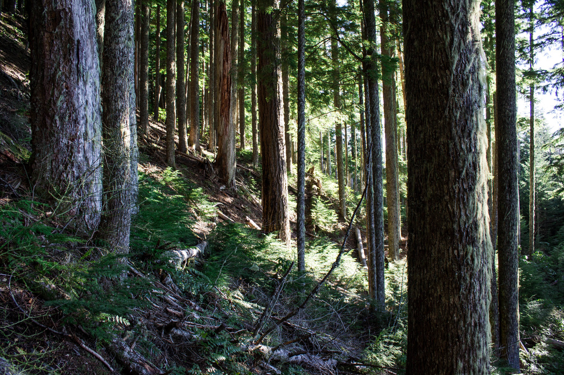
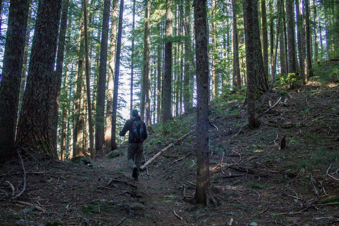
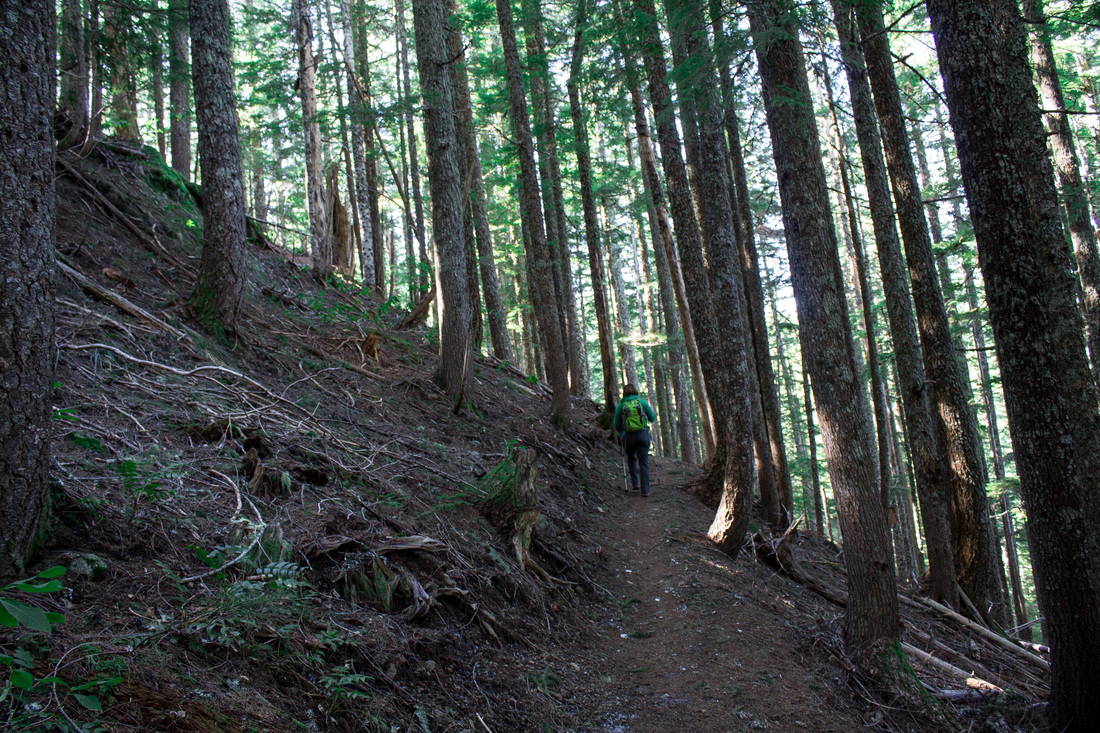
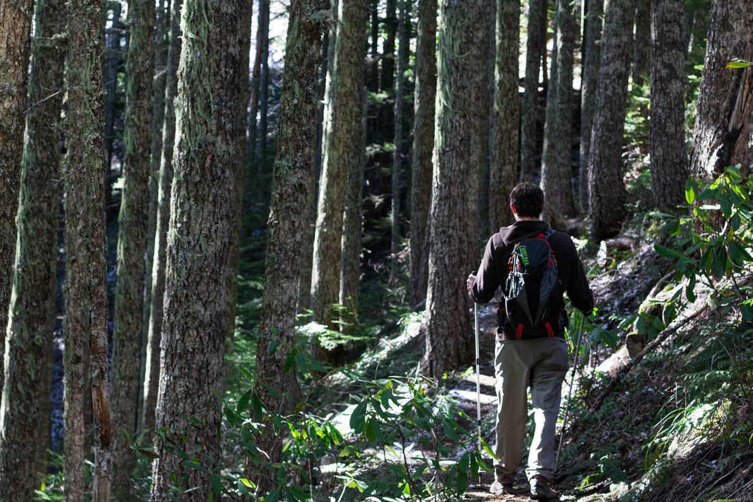
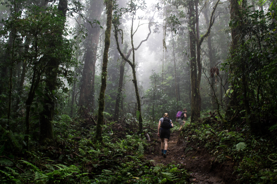
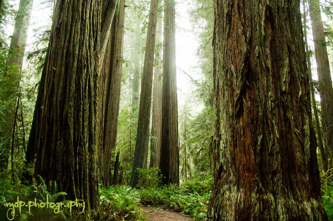
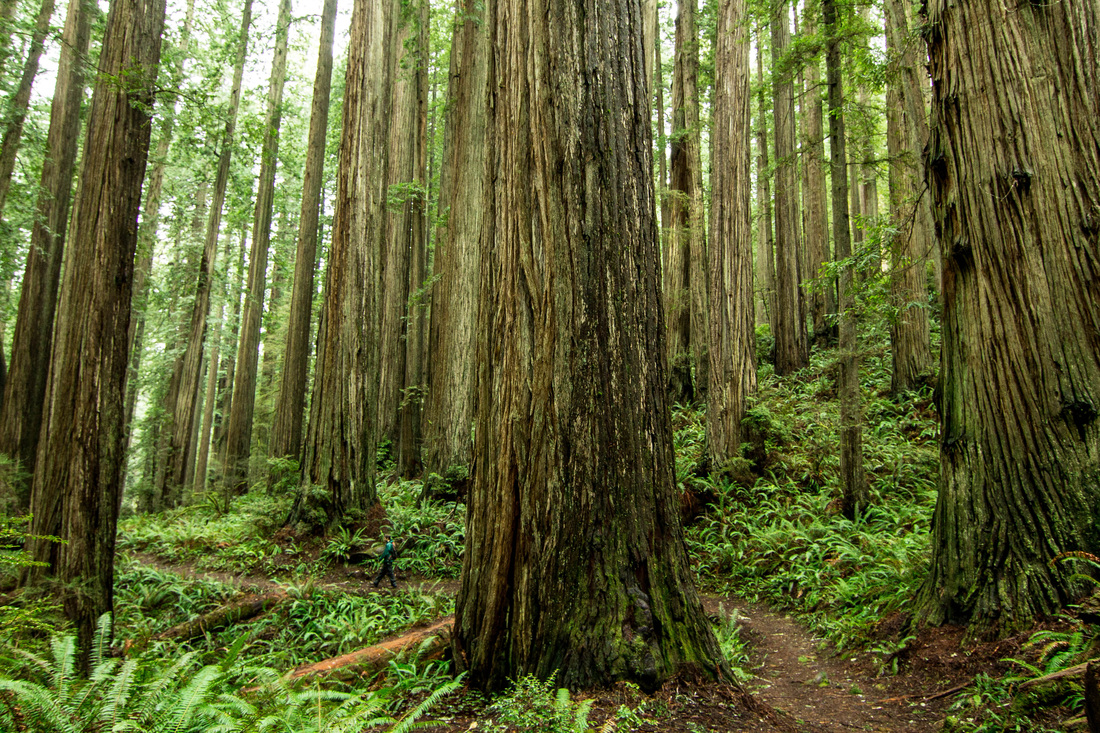
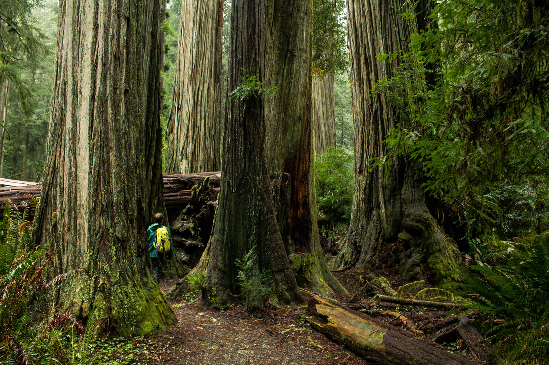
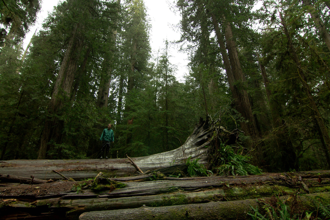
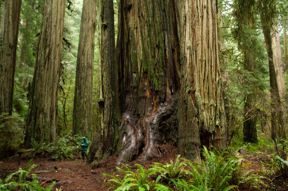
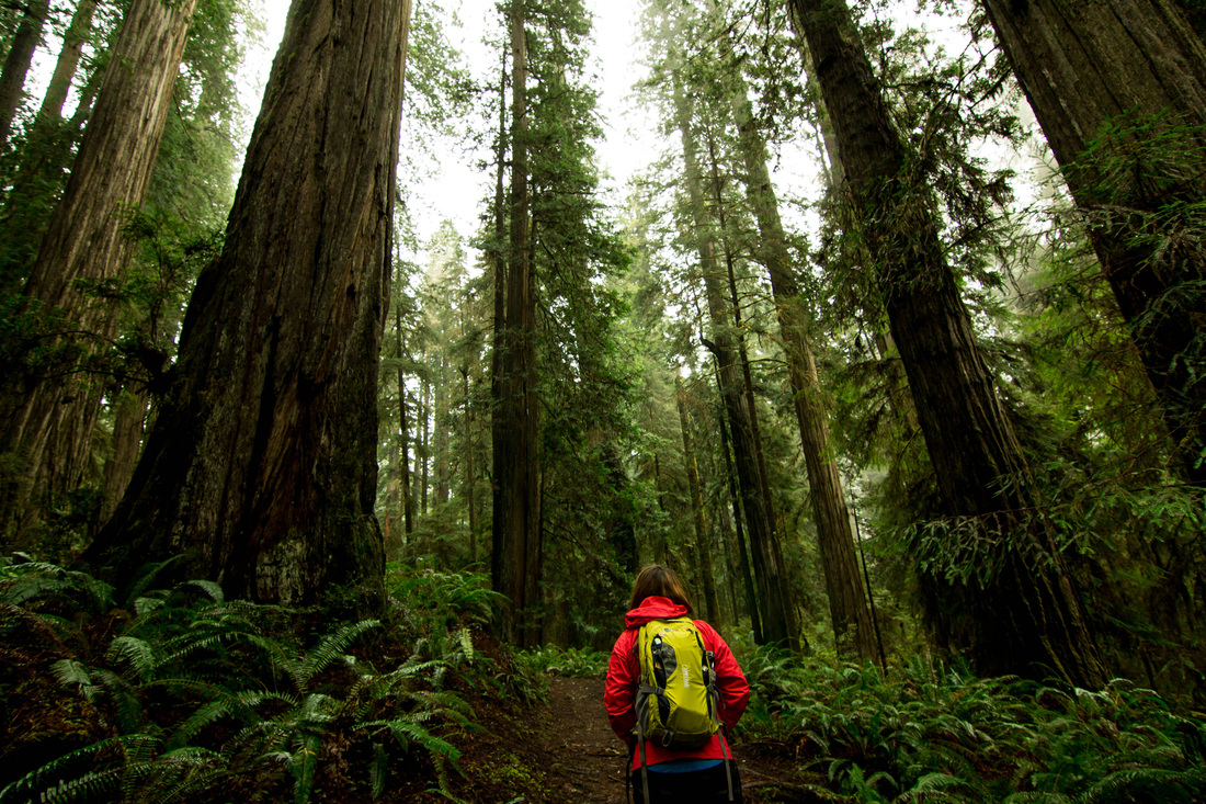
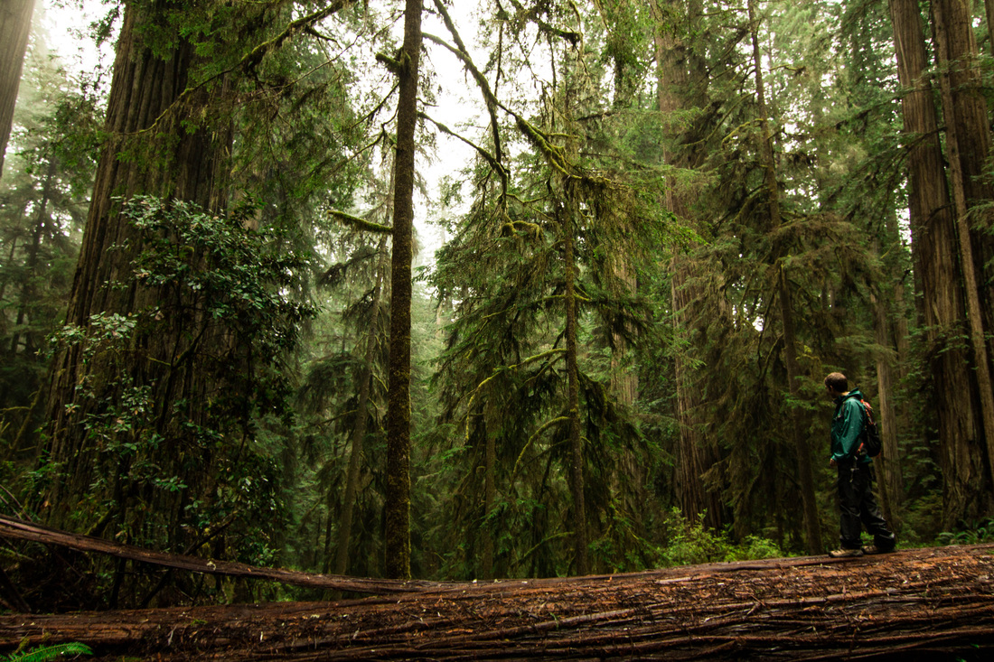
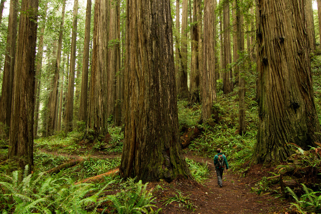
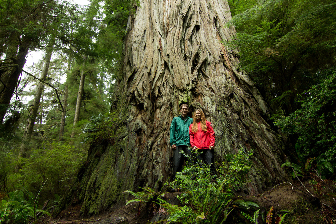
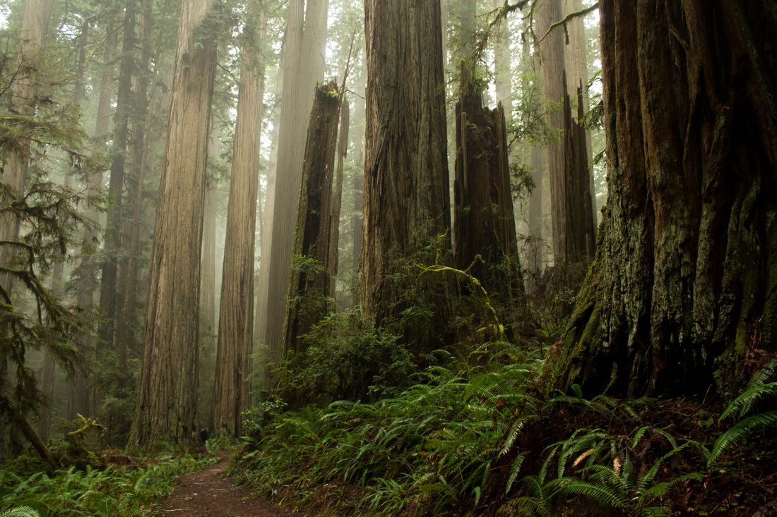
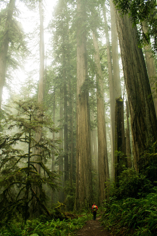
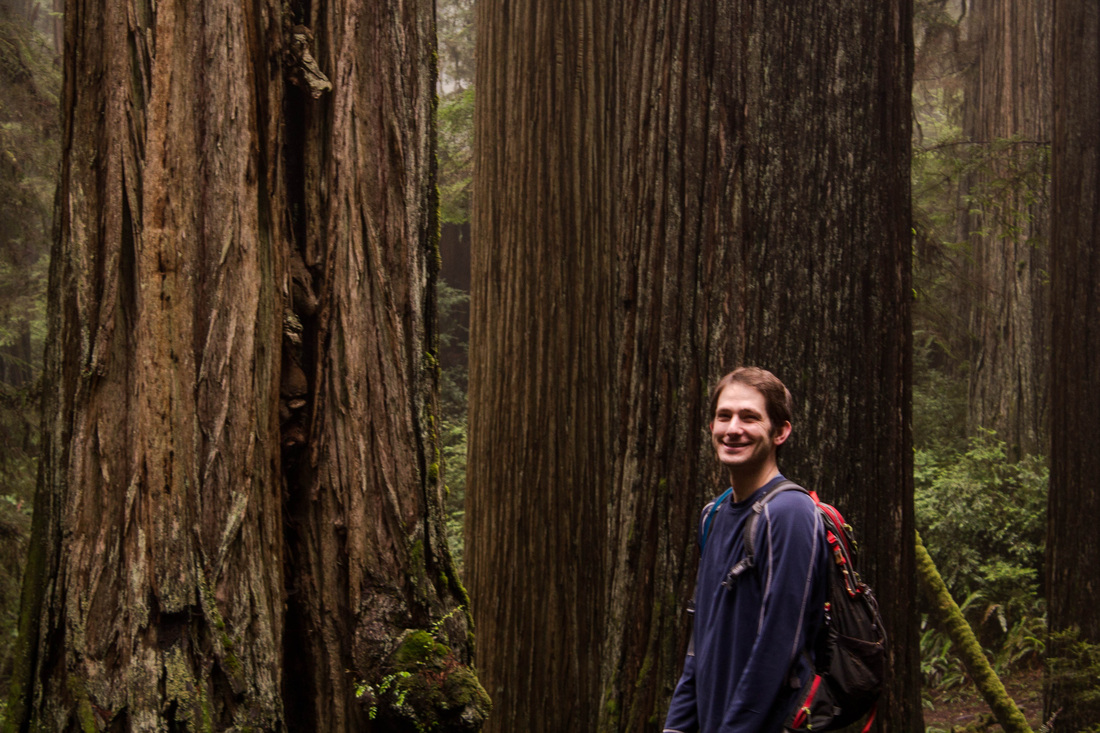
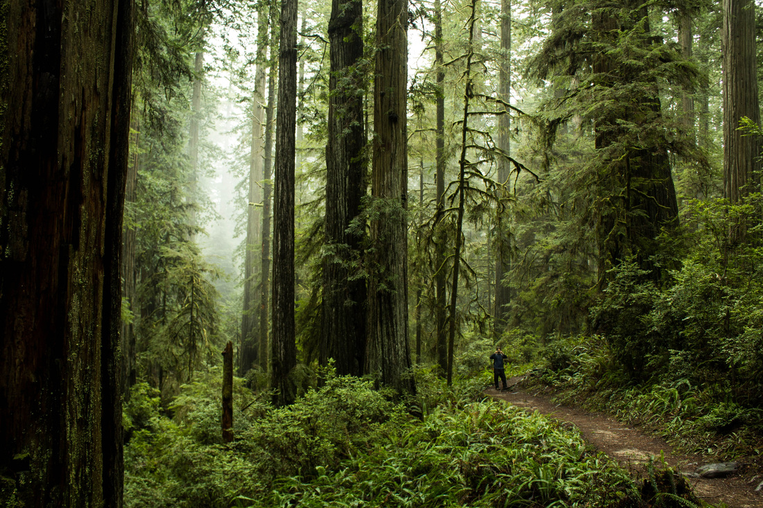
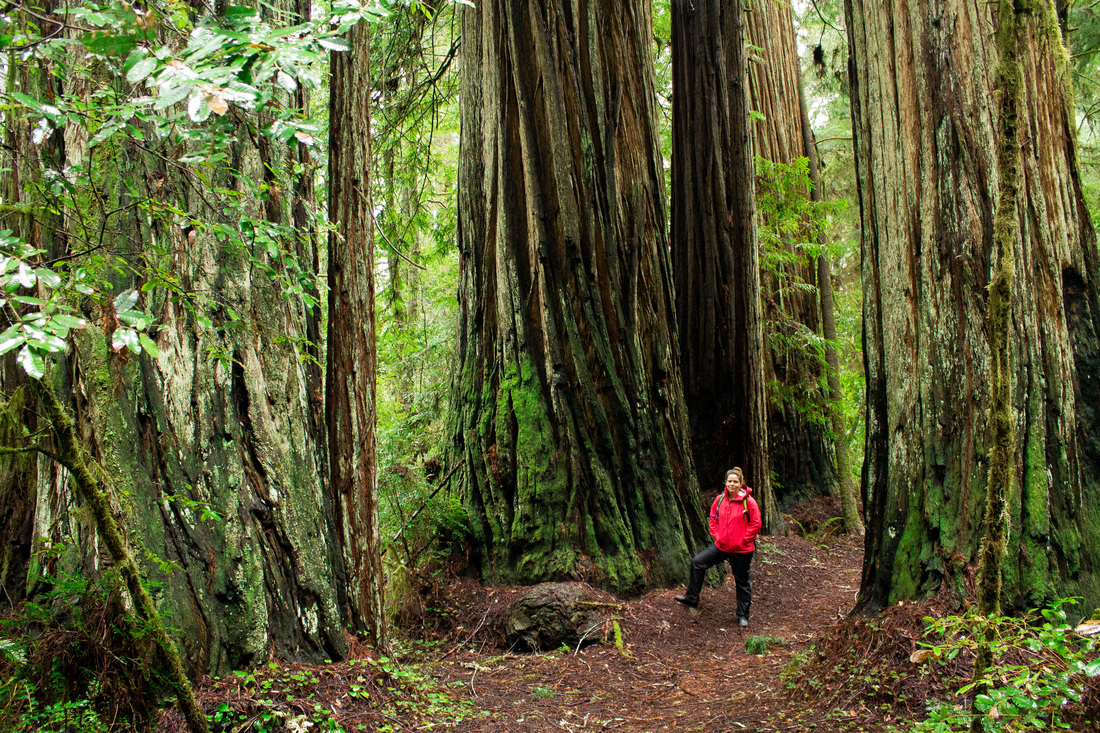
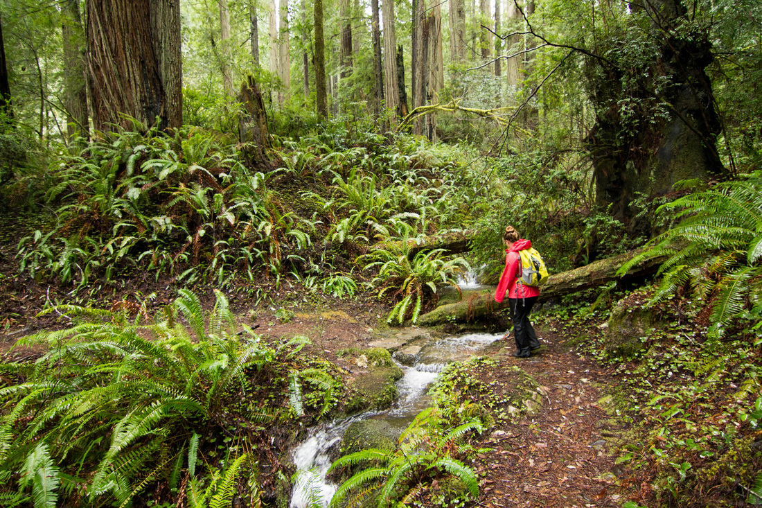
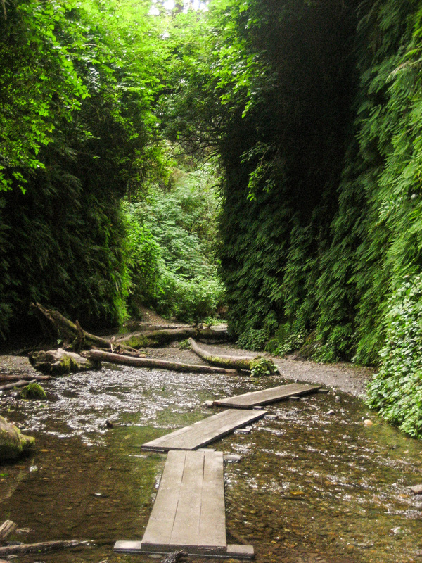
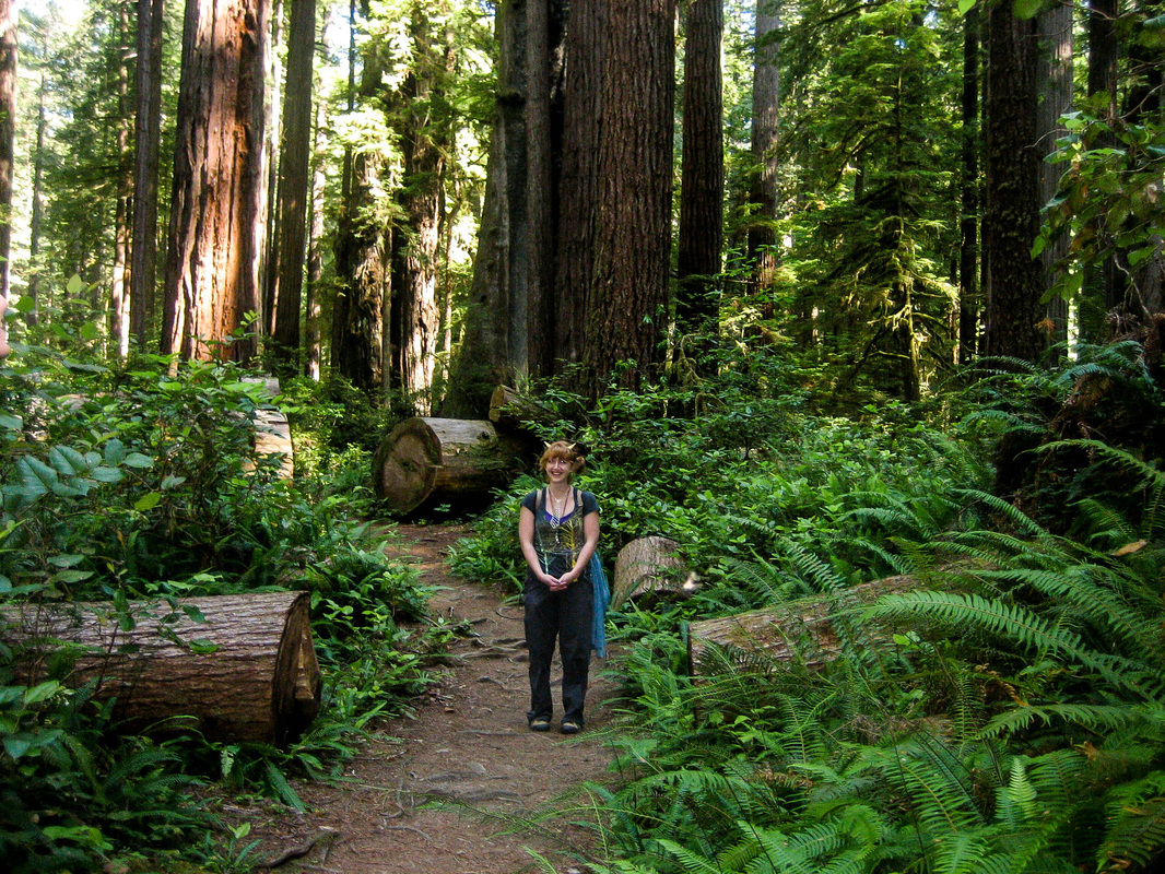
The trail exits to forest and continues up the old road that is now inaccessible secondary to the landslide. This portion of the trail is about a mile long. The trail re-enters the forest and remains amazing all the way to the summit. The trees are big and tall; there is a lovely creek and fantastic views of rock formations. Most of the trail is through quiet forest with soft ground made up of soft, freshly fallen needles.
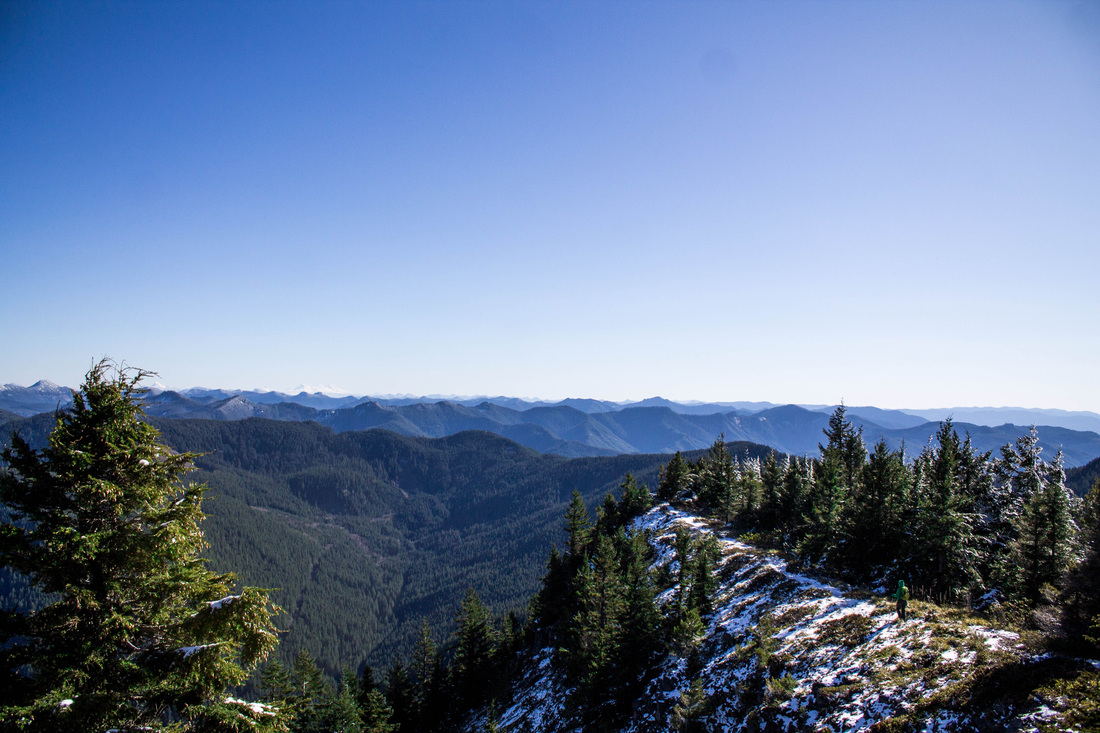
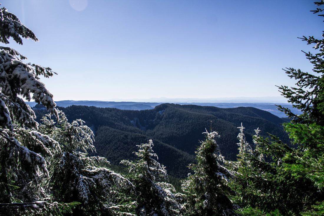
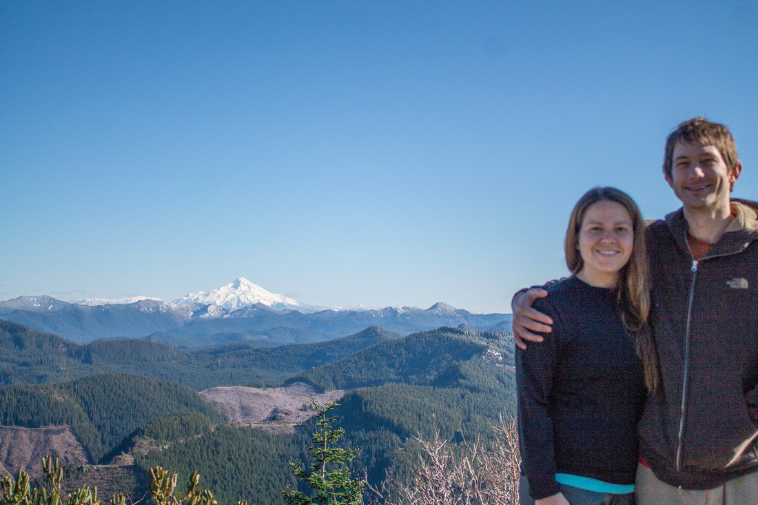
 
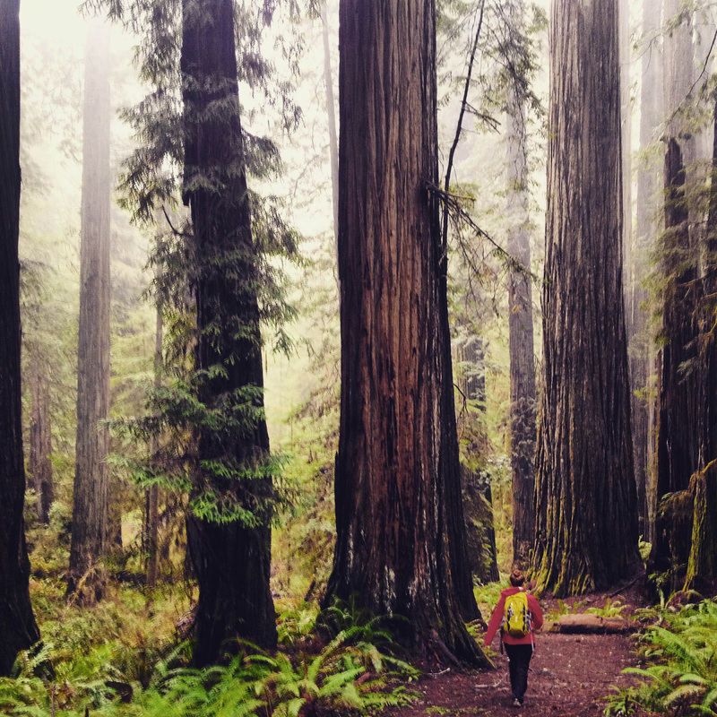
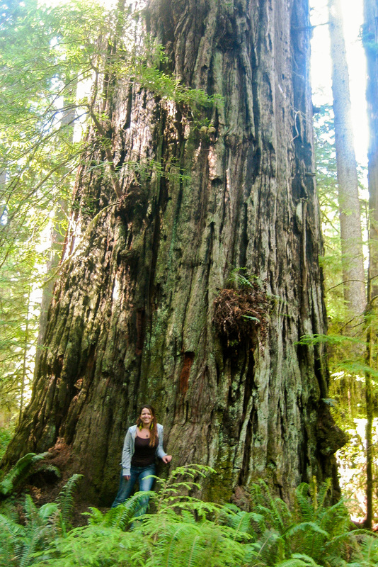
The trailhead for this hike is 2 hours from Portland near Molalla. Surprisingly, the mountain road up here is in very good condition, making it quite accessible. You drive down the road until you can go no further. The road stops at a mini parking lot, and from there, the trail starts over a landslide. You walk up this a bit and then the trail takes a turn into an old growth forest. This portion of the trail is short, but magical no less.
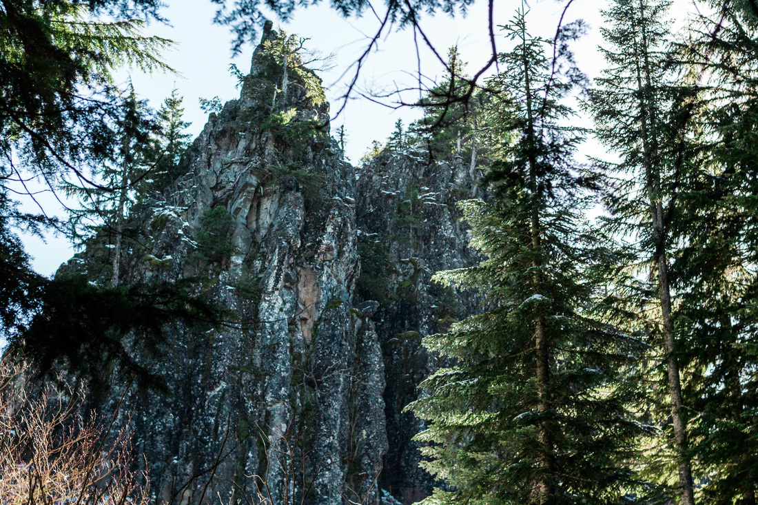
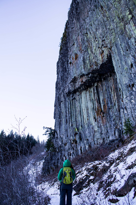
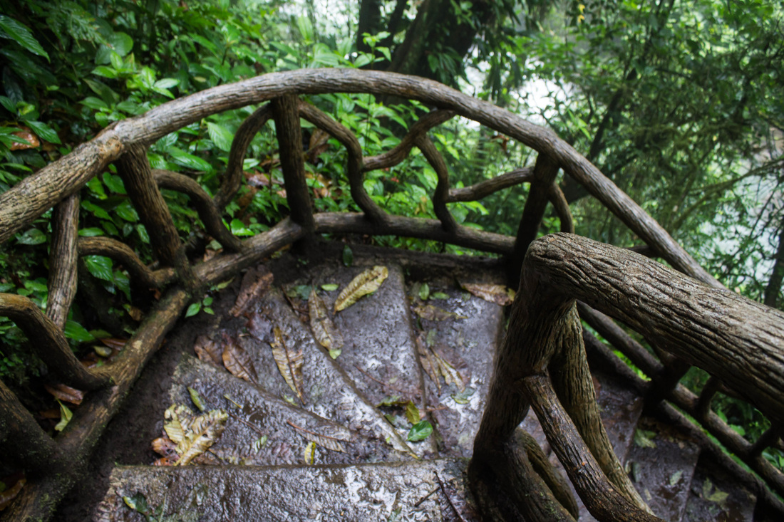
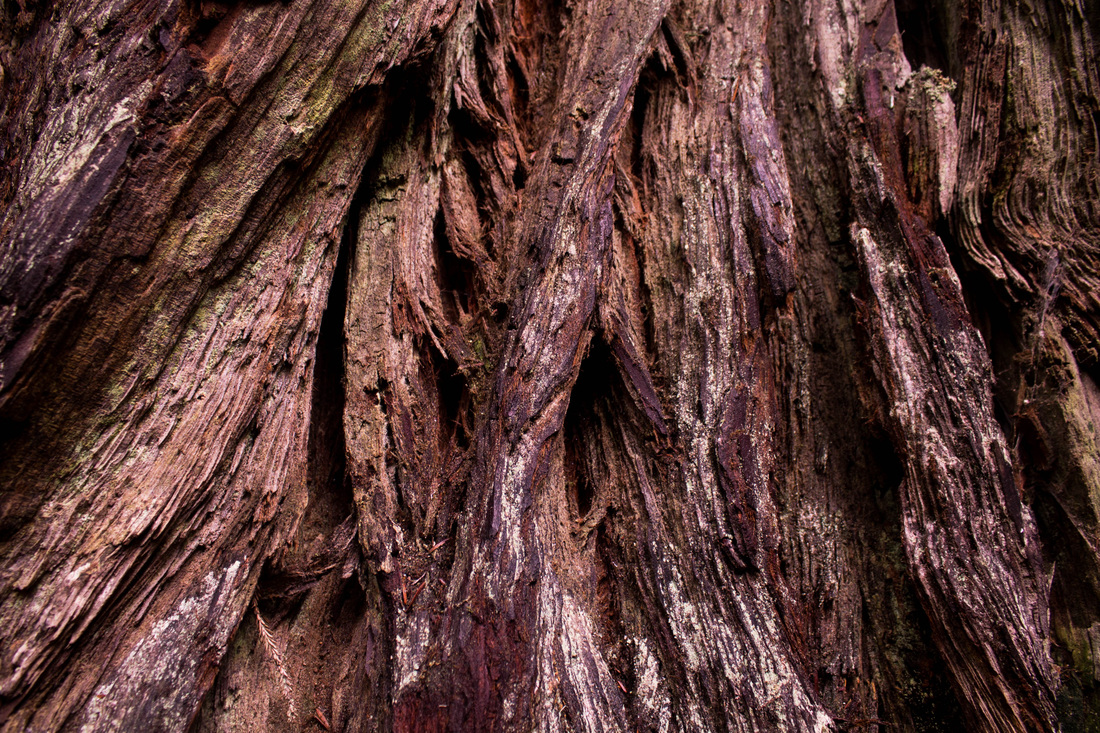
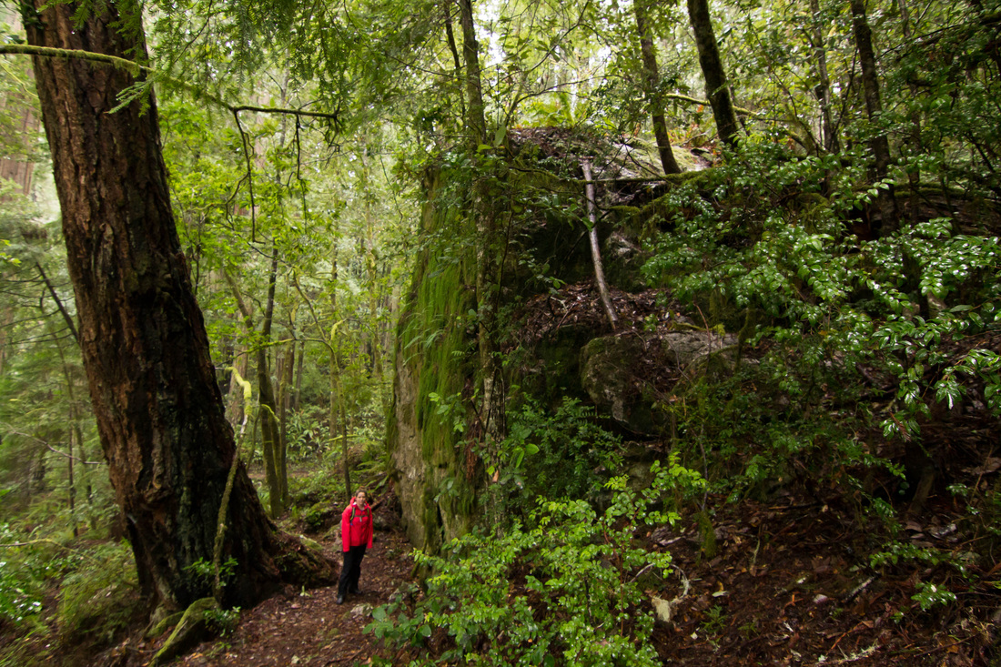
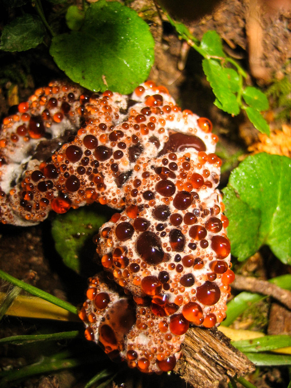
 
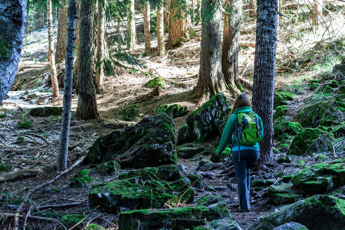
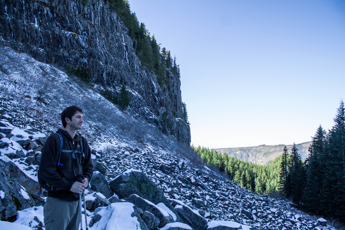
You emerge from the forest and get a great view of the volcanic rock field you're about to traverse. From here, you get your first distance views to the north. There was snow on this trail in the end of February. It was helpful to have our poles. Mary did this hike several weeks after us and said that this portion of the trial had become packed down and icy, requiring her to get by via butt sliding at several portions. In the summer, there won't be snow present.
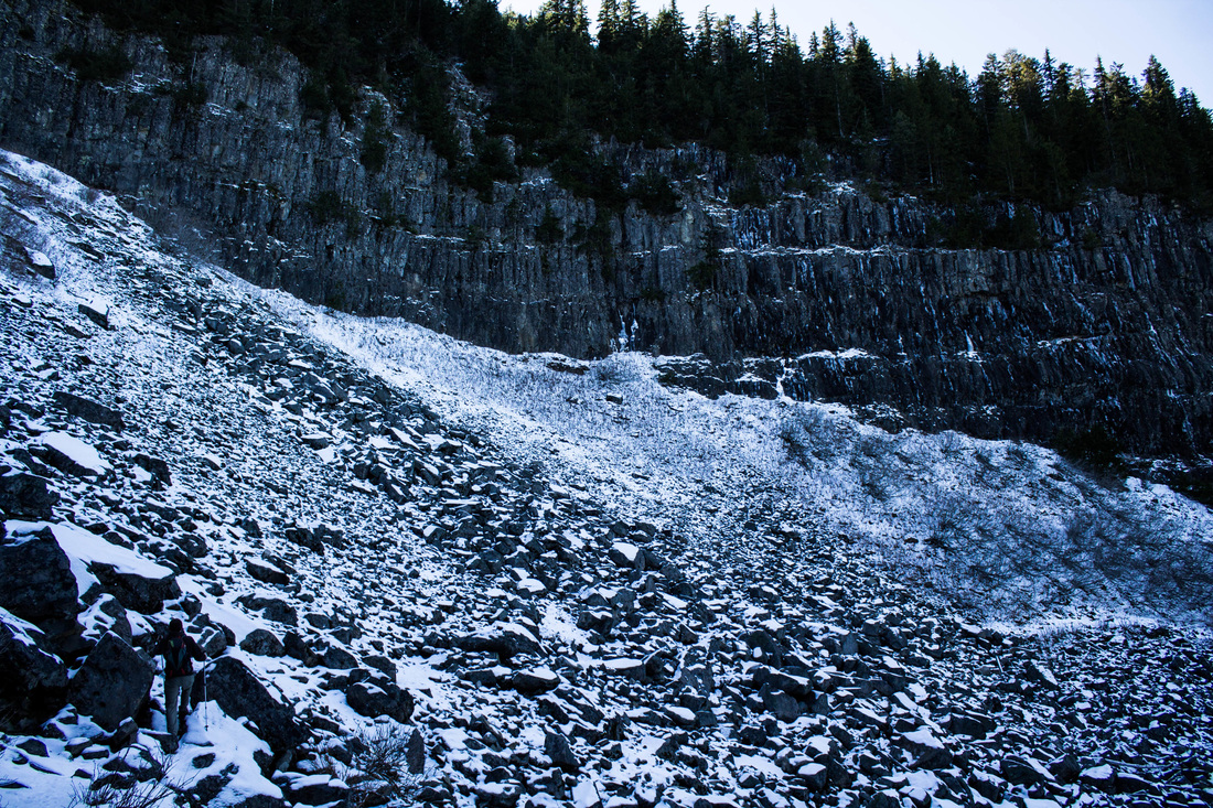
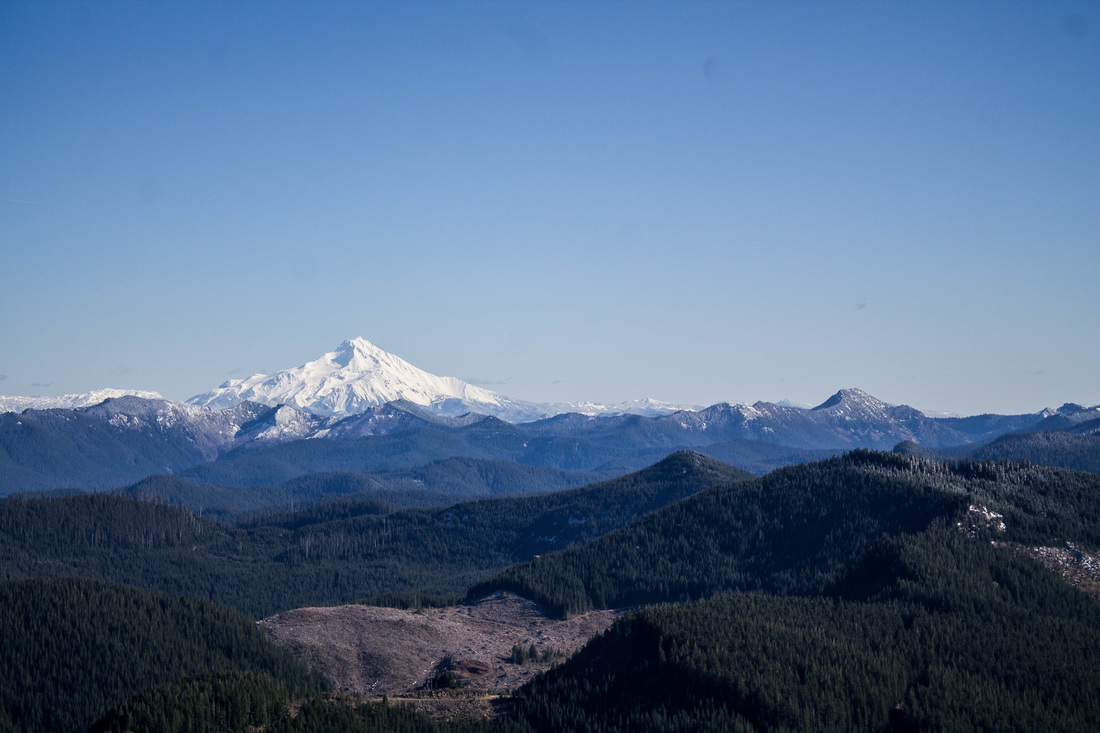
 
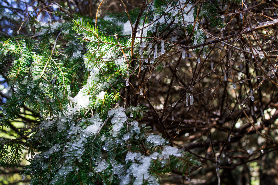
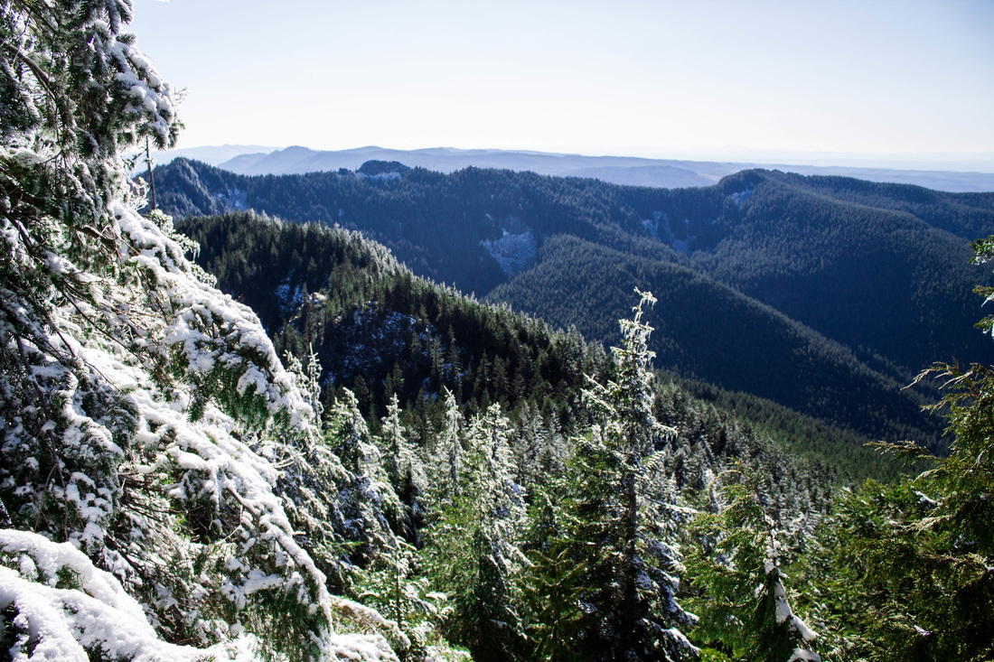
We did this hike after a recent snow fall, but the day we did it, it was really warm out. This resulted in a lot of heavy snow falling from the tree branches, creating a beautiful/magical thing to see and hear. Everything was sparkling in the sun. It was great. We only saw 3 or 4 other groups of people on this trail, another plus.
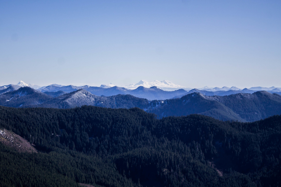
 This hike was fantastic. It head it all: old forest, large trees, a water feature, rock formations, great views. I highly recommend this. It's a new favorite, and I may even be back this summer to do it again sans snow!
The Hike: Elevation: 1570 feet Distance: 7.2 miles RT
0 Comments
Mary and Lacy had a trip planned to Costa Rica for several months. After some persistence from Mary, and reluctance on my end, I asked my bosses for the time off from work. To my delight, I was awarded the time and started to look into the possibilities that Costa Rica had to offer. Lacy and Mary chose to travel to La Fortuna for the first part of the trip. We made arrangements for our hostel, Arenal Backpackers Resort, to pick us up from the airport in San Jose. The ride proved to be an adventure on its own! People are not lying when they say the roads in Costa Rica are narrow, windy, and not well maintained. Three out of the five of us were nauseated by the 2.5 hour course. We arrived in La Fortuna on a sunny Thursday afternoon. The place was busy with travelers coming and going. We shared a few plates of food (best mango I've ever had) and relaxed on the cushioned seating while we figured out what to do with our day. We spent the afternoon wandering around the town and checking in with a few tour guide companies. We watched the sunset from our balcony, then got ready for dinner. We went to the Lava Lounge: A restaurant that was very touristy, but it served fun drinks and large plates of food and had good atmosphere. On Friday morning, we woke up early and were greeted by our tour guide - and heavy rain - for the day trip we had signed up for. His name was Albert, and he was the best. We piled into a van and were joined by 4 others. Albert provided us with information about his country and culture. We stopped at a small town where Albert directed me to get "good coffee" at a little restaurant down the road. My Spanish was tested, and I ordered a coffee to go. The nice man picked up the coffee pot and poured what was left into a Pepsi paper cup for me. Just before the park entrance, there is a small side path off the road that leads to a massive tree (see below). We arrived at Tenorio Volcano National Park. Albert led us into the forest and to the waterfall and river. Because of the cloudy sky and heavy rainfall from the night before, Albert explained to us that the water was not going to be bright blue and clear, as the tour boasts. If he hadn't said anything, we wouldn't have known any better. The river was beautiful, and the experience is what to be expected when you're in a rainforest (wet!). The tour included stopping for lunch after the hike right outside of the park. The lunch was much better than I had anticipated. There were a lot of options and live music! I had garlic fish and a fresh berry drink. I have no idea if it's customary, but at the end of the meal we were served sour limes. We got back to our hostel and went to happy hour (at our hostel). The beers were priced well. The only beer you can find in Costa Rica is Imperial. We drank a few and played cards. We ran into the girls we rode in the van from the airport with and went to dinner with them. Dinner was great. We had fruit smoothies and large plates of meat, rice and beans. We had an early night so that we could have a busy day on Saturday. For our Saturday hike, we decided to do it sans guide. We arranged for a cab to pick us up. After some negotiating (the front desk guy was obviously in cahoots with the cabbie), we had made arrangements to get taken to Volcan Arenal Park and then picked up again when the park closed. We were at the observation deck at just the right time. We had a decent view of the volcano before we began our hike. We began the hike for Cerro Chato. We knew that it would be a lot of elevation, but we had no idea the steepness of the hike we were about to embark on. The entire hike is at an incline of about 45 degrees. It was amazing. The humidity took its toll, and I felt like we were hiking into a cloud. We persisted on the hike in hopes that we would have the stunning view of of a caldera filled in with beautiful blue water. We reached the top and couldn't see a damn thing. I can't figure out what we hiked, but I'm guessing it was around 3,000 feet in a few miles. After the grueling hike, Mary persuaded the cab driver to bring us to natural hot springs. Definitely do the free hot springs vs. paying $50 for a day-pass for a spa type establishment. We laid in the warm river for about an hour and got picked up on the side of the road. We were safely delivered to the hostel. We cleaned up and went to dinner. Mary decided to eat meat for the first time while we were on the trip. She ordered the fish. It came out slightly under cooked and with a tinge of blood. Lacy ate what Mary left. The next morning, we had breakfast and coffee at the hostel and were picked up by a shuttle service to take us to the next town: Manuel Antonio. We arrived in Manuel Antonio after another cross-country drive. The drive was really beautiful. It went through small towns, farm land, mountains, and along the coast. We walked to Beach Packers hostel and almost immediately turned around and walked out when we got there. We checked in and went up to our room. It was the most humidity I had ever been in, and the only cooling system in the room was basically a 5 rpm ceiling fan. Not to mention, we had a bunk buddy. Mary volunteered to take the bed by the man, whom all I can recall are his hairy legs and very dirty feet. I'm sure he was nice but there was no way in hell I was staying there. Lacy and I decided we would pay whatever the price in order to have AC, a private bathroom and no hairy-legged men to share a room with (those sorts of things are only acceptable and to be expected after Phish shows). We left our bags and walked on the beach into town. We only had to inquire at 2 hotels before finding the perfect spot. Mary was able to get money back for one of the two nights we had booked at the hostel. Then, we hit beach! The beach was very busy with sunbathers, swimmers and surfers. There are many places where you can rent a chair and umbrella (shop around a bit because the prices vary quite a bit). We watched the sunset and ate ceviche. We walked back to our hotel room and had yet another early night with lots of rest. We woke up early and walked to Manuel Antonio National Park. I had two goals: see monkeys and see sloths. We covered most of this park. We did a waterfall hike, where the waterfall was more of a trickle. We walked down the sloth trail and saw monkeys swinging in the trees. Then, we swam and sunbathed on the playa. Here, we saw tons of monkeys. They were eating Cheetos and almost got into my backpack. While swimming in the ocean, I overheard a man say that he comes to Costa Rica every time he needs a crown put in his teeth. He said that it only costs $500 to have the procedure done in Costa Rica vs. $2,000 in the states. So if he goes to Costa Rica for it, he gets a free trip out of the process. Something to think about... but could potentially be a motivator for poor dental hygiene. We saw beautiful butterflies and lizards. I got some crazy sun burn despite several applications of SPF 35 sunscreen. We ate more ceviche at a restaurant right outside the gates of the park. The next morning, we had time to walk around the beach one last time and have a few pina coladas before taking a shuttle to our hotel near the airport. We ate our last authentic Costa Rican meal: Papa Johns, and we watched The Mask in Spanish in our hotel.
To celebrate the 4 year anniversary of the Packers winning Superbowl XLV (which happens to coincide with our dating anniversary), we decided we wanted to take a bit of a road trip. It had been over a year since our last visit to the redwoods, and we were overdue to return. Portland had been having an amazing winter of warm weather with many appearances from the sun. We hoped that the great weather would continue for our camping trip. About 10 days before our mini-vacation, my boss brought to my attention that an "atmospheric river" was heading straight towards northern California and the PNW. We reluctantly decided to keep our plans (as the heavy rainfall was expected to hit all areas of Oregon within a 6 hour drive from Portland). We decided to get a hotel room in Crescent City instead of camping. The drive down was pretty dry until about an hour out from Crescent City. Aaron did a great job navigating the windy road along the Smith River. With sign after sign warning us of landslide potential and falling rocks, he kept cool (I did not) and got us to our hotel by 10:30 pm on Friday. That night, the howling wind was so loud (measured at 50mph) that it woke me up from a deep sleep. As I lie there awake listening to the powers of mother nature, the hotel lost power. I started thinking of other things we could potentially do with our weekend, as it seemed improbable that we would actually be able to go out hiking with this storm upon us. When we woke up the next morning, the winds had died down and the rain had stopped. I called the ranger station, and the guy I spoke with basically advised me not to go out hiking that day. He said nearby towns were still without power, and the high winds would put us at risk for giant branches falling 100+ feet from the sky. What a way to go that would be: crushed to death by a giant redwood branch that is the size of a full tree in other forests. I decided not to heed the warnings of the knowledgeable ranger, and instead, take my chance on the redwoods. We fueled up with hard boiled eggs and bananas (thanks America's Best Value Inn for the "continental breakfast") and hit the road. SIMPSON-REED TRAIL The first hike of the day was the 1-mile loop Simpson-Reed Trail. Easily accessible from the road, and a short hike, it was a great choice while we still waited to see what happened with the weather. Although there is nothing really remarkable about the Simpson-Reed Trail, it is a nice loop trail with negligible elevation gain, big trees, and interpretive signs. It's right off of Hwy 199, so it is easily accessible off the road. A great hike for the older folk. Since the weather was still cooperating, we decided to go to a favorite old-growth grove: Stout Grove. During the summer you can access Stout Grove through the Jedediah Smith campground. There is a seasonal footbridge that allows you to cross the Smith River. We had to try the entrance from Howland Hill Road. We took the road until it turned to gravel and followed it for several miles more until the road was blocked by cones. Fortunately, there was another trail we could access from this road: Boy Scout Tree Trail. BOY SCOUT TREE TRAIL This was the hike we did. It's an out and back hike totaling 5.6 miles. The Boy Scout Tree is a 2,000 year old enormous tree. It's 27 feet in diameter and 300 feet tall. I had hiked this trail in the summer of 2011, with Sarah Voruz, on a bright, sunny day. With summer and sun, comes people. On this trip with Aaron, we didn't see one other human on the trail; or any of the trails we hiked that weekend for that matter! Boy Scout Tree trail is pretty awesome right away. I would recommend it even if you don't have the stamina to make it to the tree. If you hiked in 30 minutes and then back out, you would still be in for a treat of hiking through massive trees. After this hike, we headed south to visit a few other state parks. Unfortunately, we were not able to access a few places we had hoped. It may have been because it was the winter, or it may have been because of the crazy storm from the night before, but several roads were closed. We went to Elk Meadow in hopes to see the Elk heard we had seen the last time we were there. We didn't see any wildlife this trip. The road to Fern Canyon was also closed. We feasted on Chinese food for dinner that night and thought it best to fork over the extra cash on a nicer hotel that night. One that promised a hot breakfast. HIOUCHI TRAIL On Sunday, we were surprised with yet another day without rain. We went on our third hike: Hiouchi Trail. This trail winds along the Smith River and can also connect to the Stout Grove in the summer (the seasonal bridge was not in at this location either). We completed the 4 mile out and back hike in less than 2 hours. On our return back to the car, we finally were greeted with some rain. I would definitely recommend this trail, especially in the summer. If you camp at Jedediah Smith, you can take the bridge to Stout Grove, then take the 2nd bridge to this trail (crossing the Smith River for a 2nd time) and make a day out of it! FERN CANYON Fern Canyon is a magnificent hike through 50 foot walls of five finger ferns. It is located in Prairie Creek Redwoods State Park. I'm not sure that it is accessible in the winter, as the road there was closed when we were there in February. I have accessed it in July and in late October. Both times, I hiked through the canyon and then met up with a trail that takes you through tall trees. This is a very busy hike in the summer. The Hikes:
Simpson-Reed Trail
Boy Scout Tree Trail
Hiouchi Trail
Fern Canyon
Stout Grove
I highly recommend camping at Jedediah Smith State Park. There are trails accessible from the campground. It is the closest park if you're heading south from Portland. And it's near the town of Crescent City. Very busy in the summer. |
I moved to the Pacific Northwest in August of 2012. I quickly identified myself as a hiker. I want to document my experiences so that I can refer to them for myself and others to provide the best hiking experience. I also hope to learn more about hiking from others comments and recommendations. Archives
April 2016
Categories
All
|