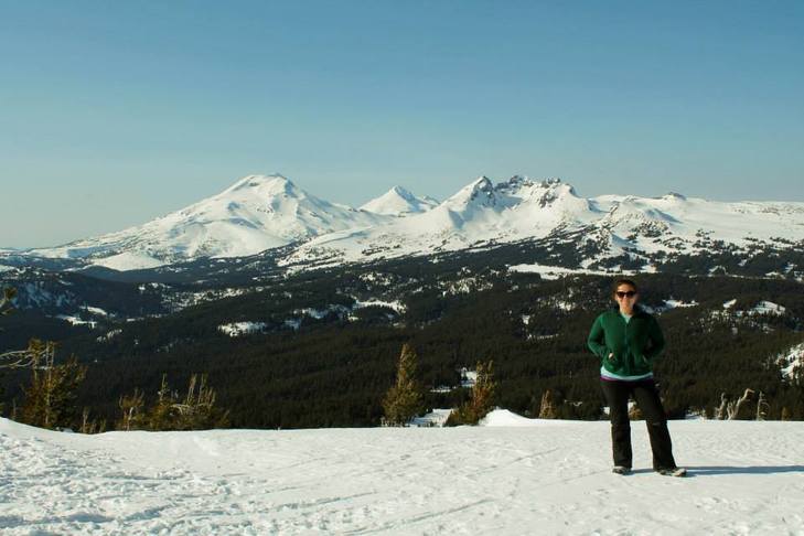
View from the summit: South and Middle Sister and Broken Top Mountain
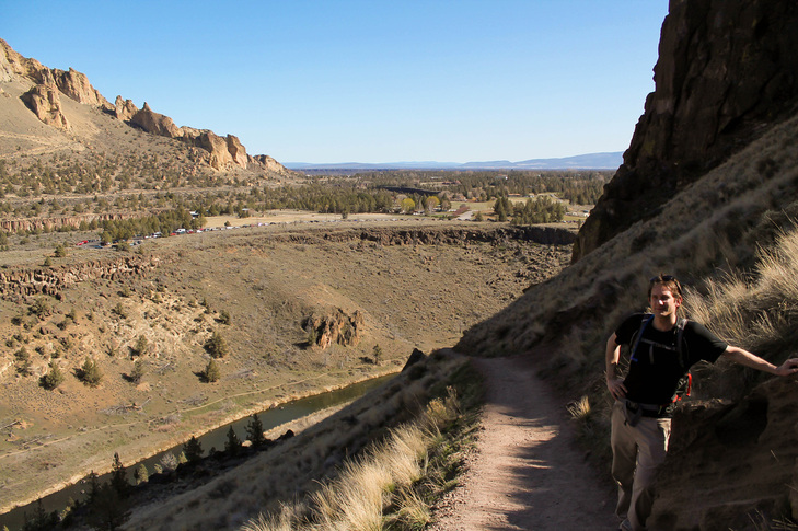
We did this hike as a part of our "Bend Weekend." We did Smith Rock the day before with friends, Maria and Jake, and ventured here on Sunday. To get here, drive 20 minutes west of bend on Cascade Lakes Scenic Byway (towards Mount Bachelor). Park at Dutchman Flat Snow-Park. We displayed our NW Forest Pass, but I'm not sure that was necessary. Let me preface this by saying the mountain was covered in snow, and we didn't know where we were going. We just followed trails up and passed a few snow-shoers, so we figured we must be onto the right path. It took a few hours to reach the summit, mainly because I am a slow hiker and stop to take lots of pictures. The last push was pretty steep, but all in all this was a fairly easy hike (however, you are gaining elevation the entire time).
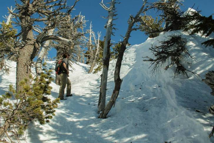
Like I said: steep parts!
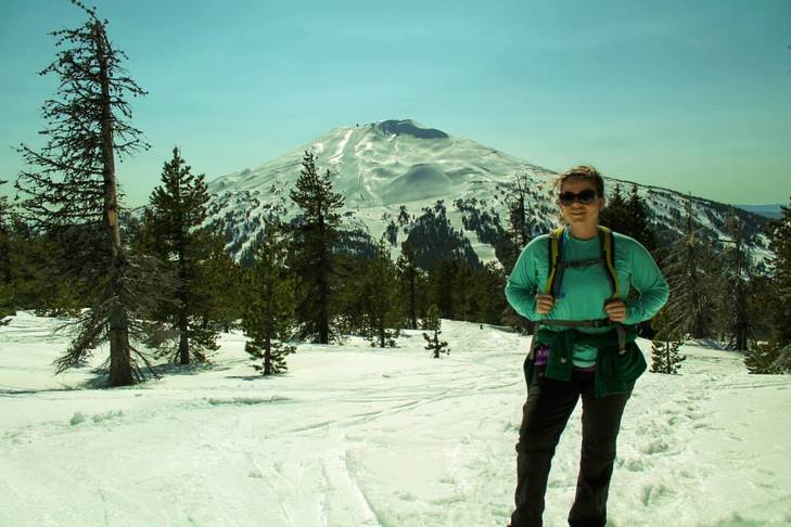
On Tumalo with Mount Bachelor behind me (you can even see the ski-runs)
The Hike:
- Elevation: 1,200 feet
- Distance: 3.6 miles
- We displayed our NWFP at the sno-park
 RSS Feed
