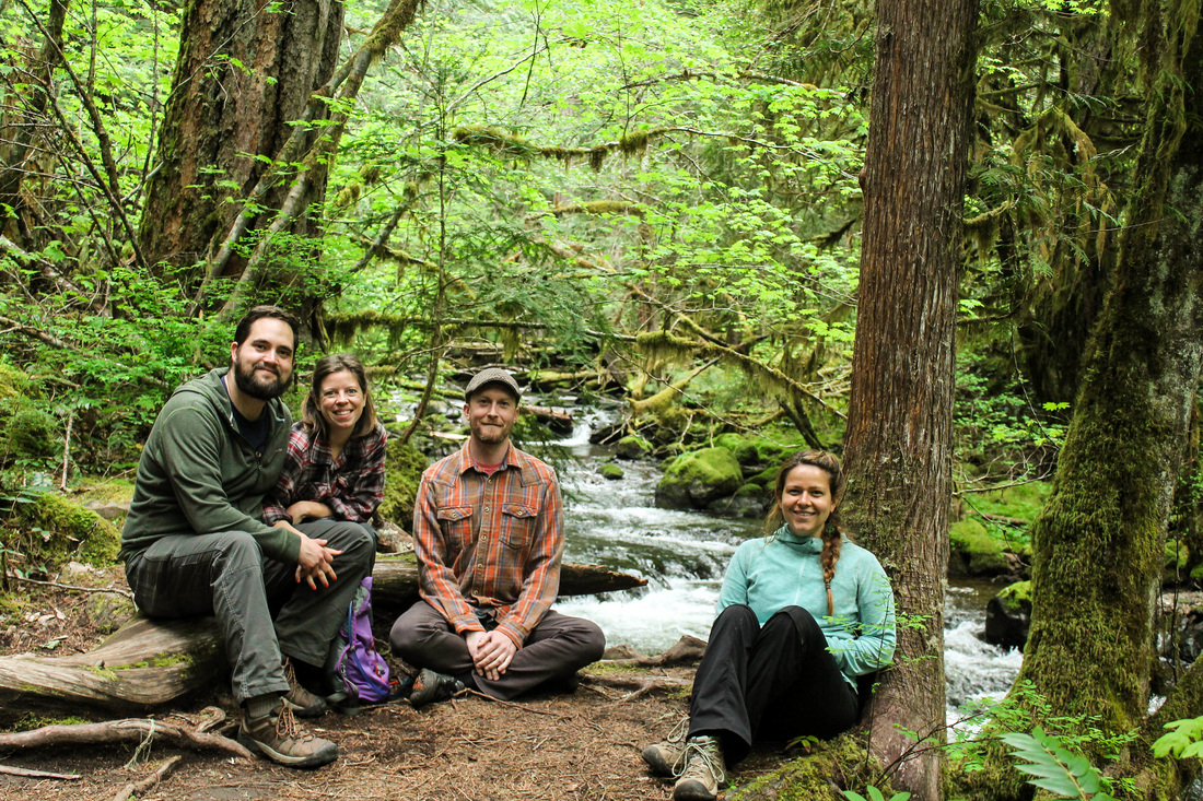
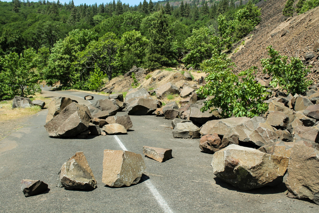
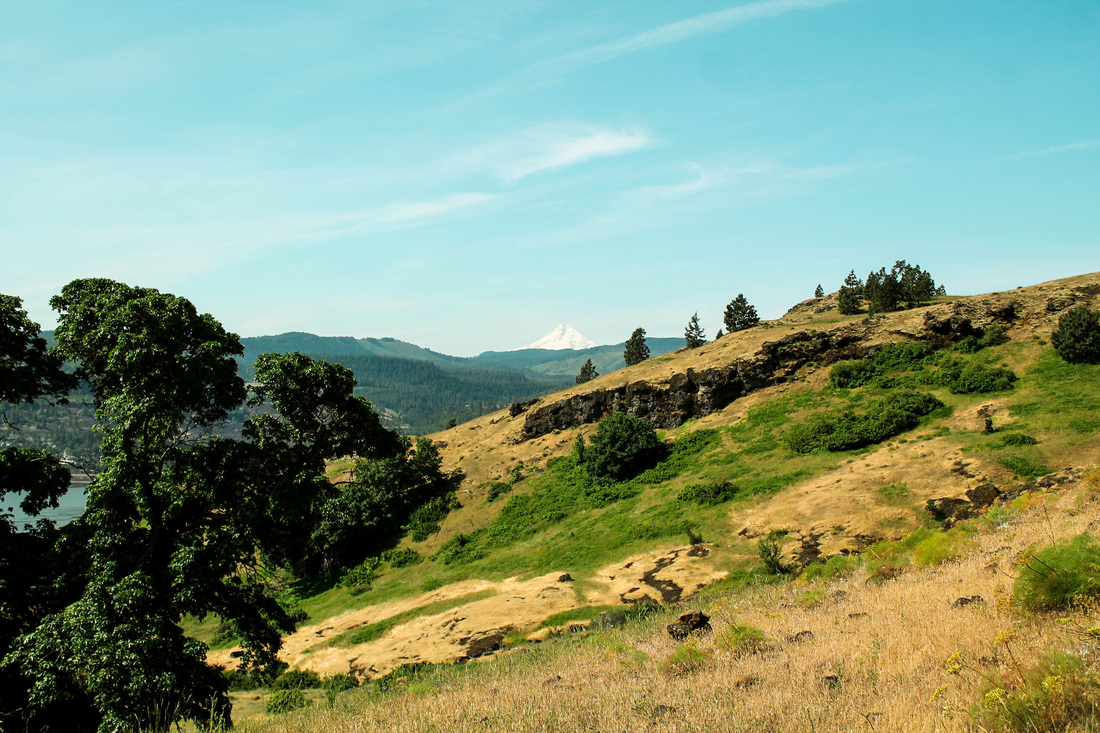
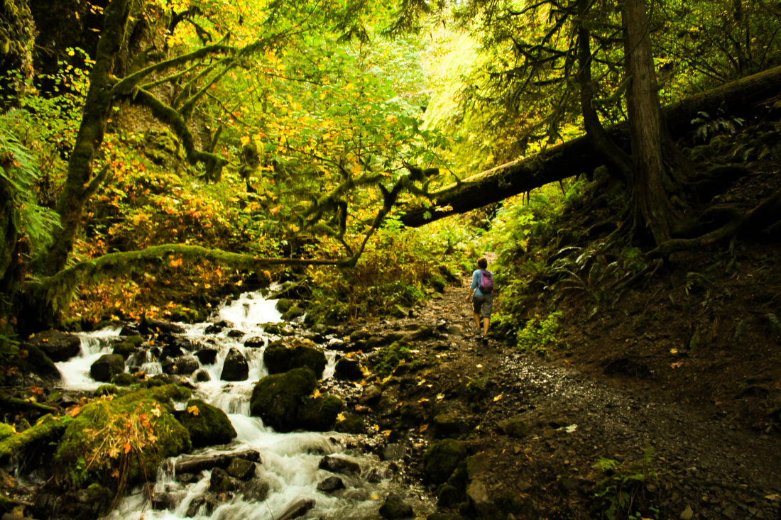
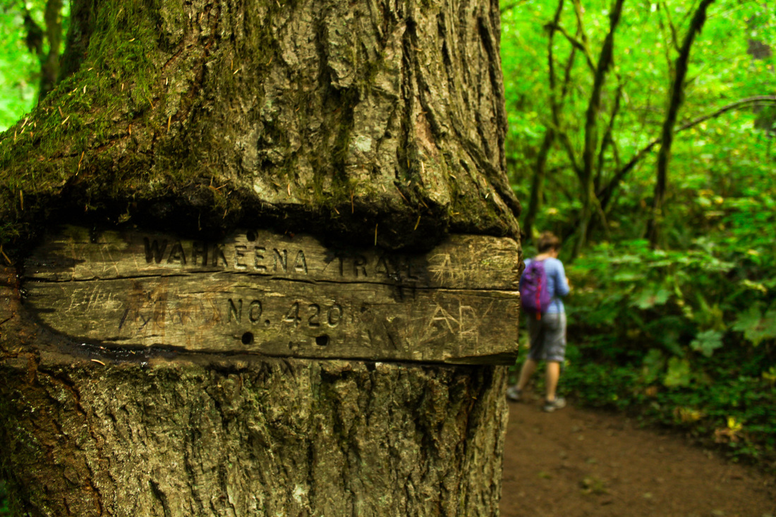
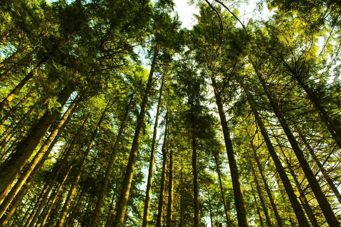
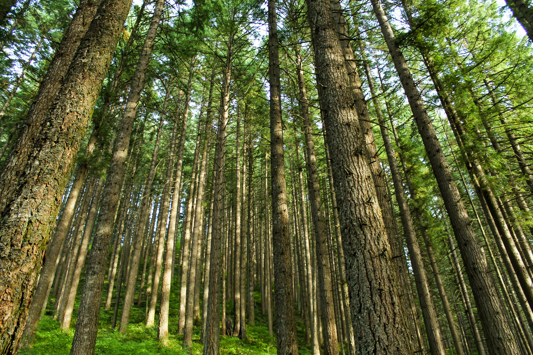
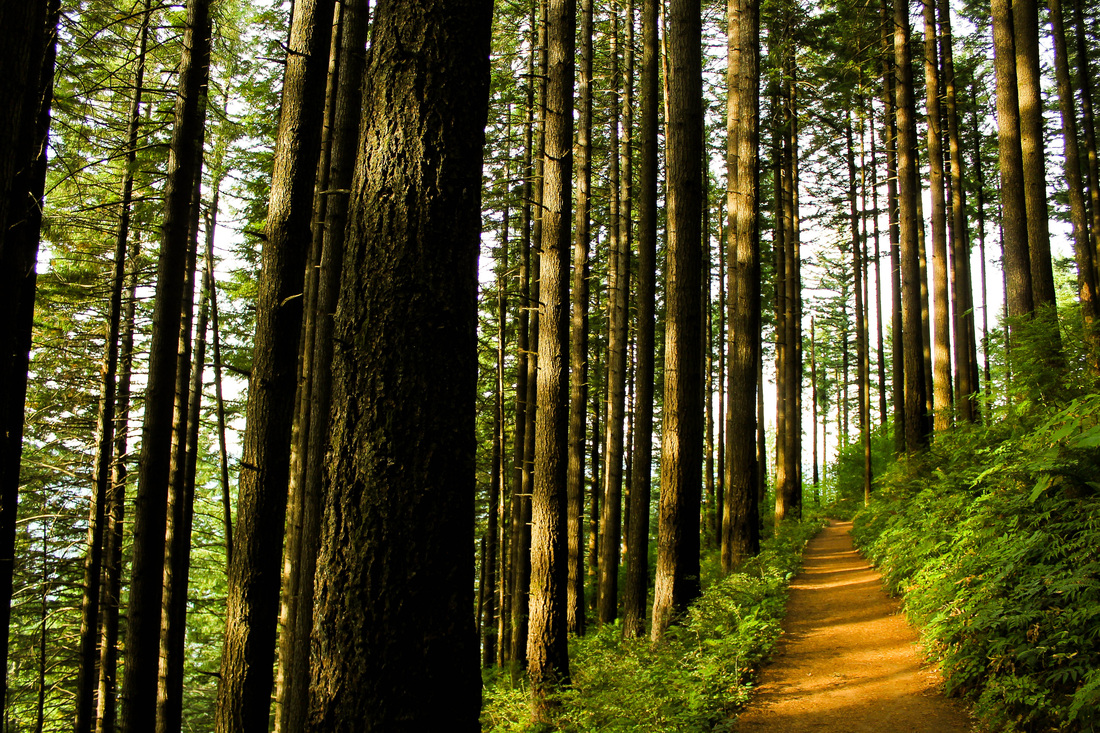
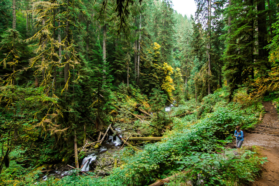
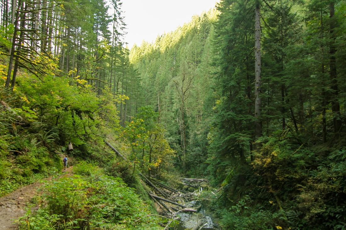
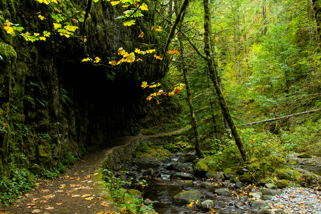
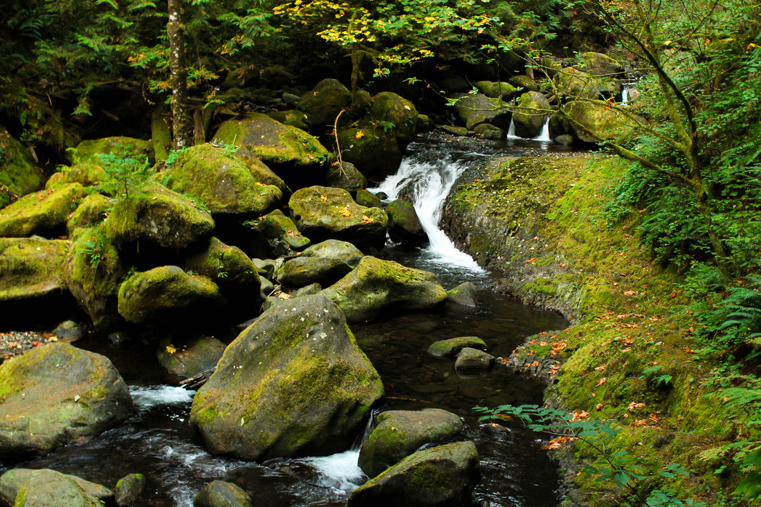
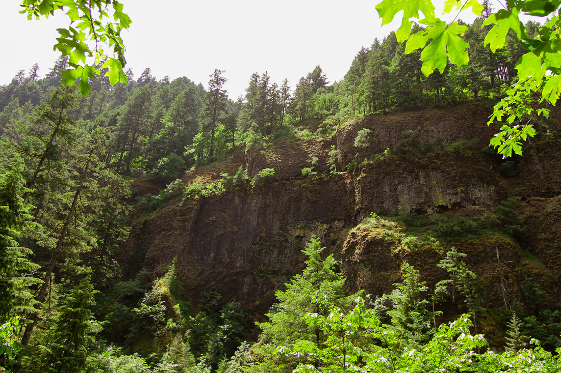
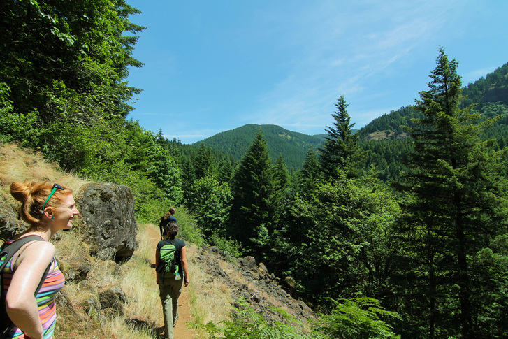
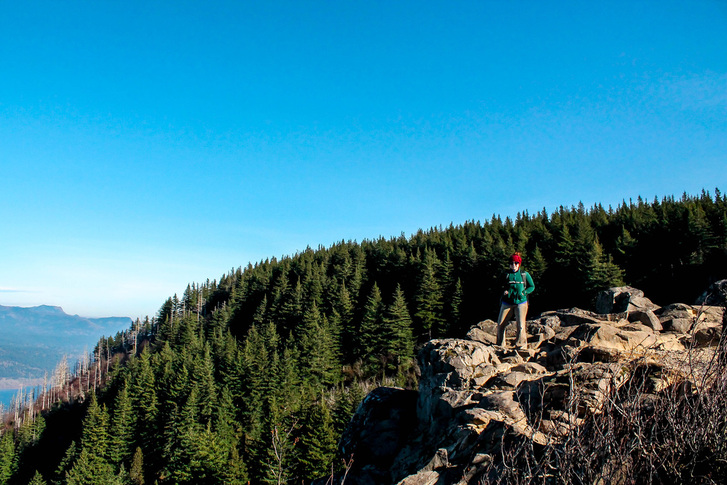
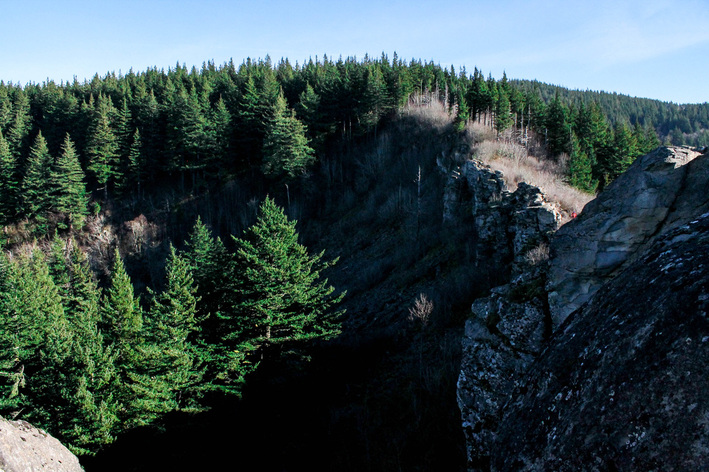
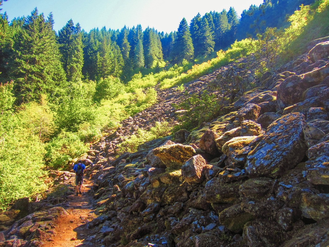
Mary and I had planned on hiking Dog Mountain for months as it was the only weekend in May that we were both free. Unfortunately, on the Saturday we planned to hike, the weather didn't cooperate. We didn't want to work our butts off to not have the great view of the gorge, so we did plan B: Falls Creek Falls. Shane was visiting from Wisconsin, and I wanted him to see something other than the standard waterfall drive on the Oregon side of the gorge. Shane, Mary, Jordan, and I left Saturday morning after breakfast at our house. We followed directions to this hike out of the Curious Gorge book. They were pretty easy: turn North on Wind River Road and go through Carson's four way stop sign. Go past the old fish hatchery and take a right. Carson now has a stop-light. Good for them. You want the Upper Falls trailhead. The hike is a very low grade the whole way. We passed a few groups of hikers; not really too many people despite the trailhead looking full.
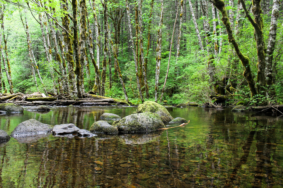
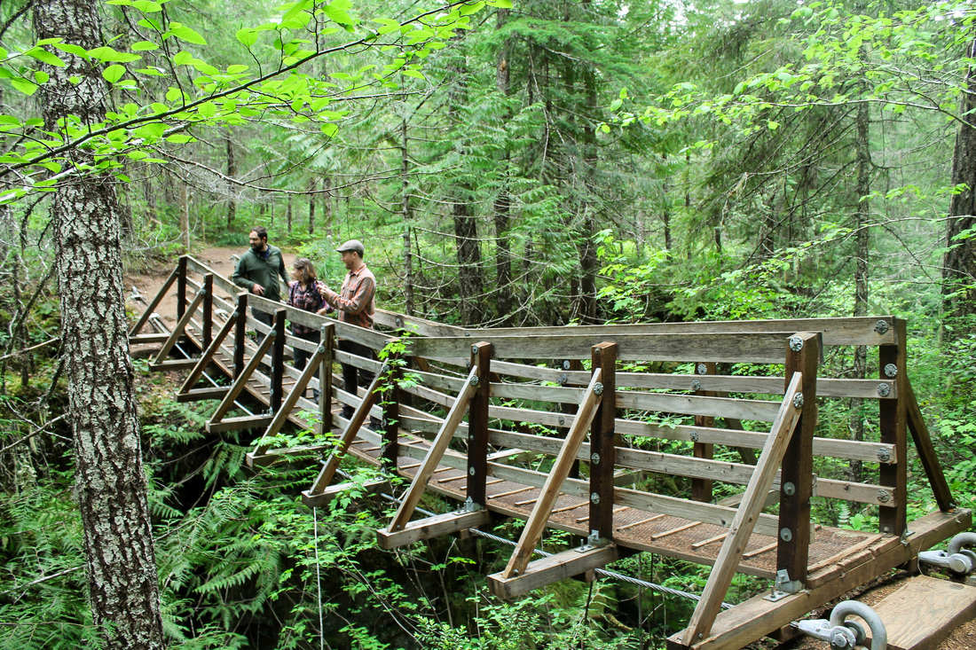
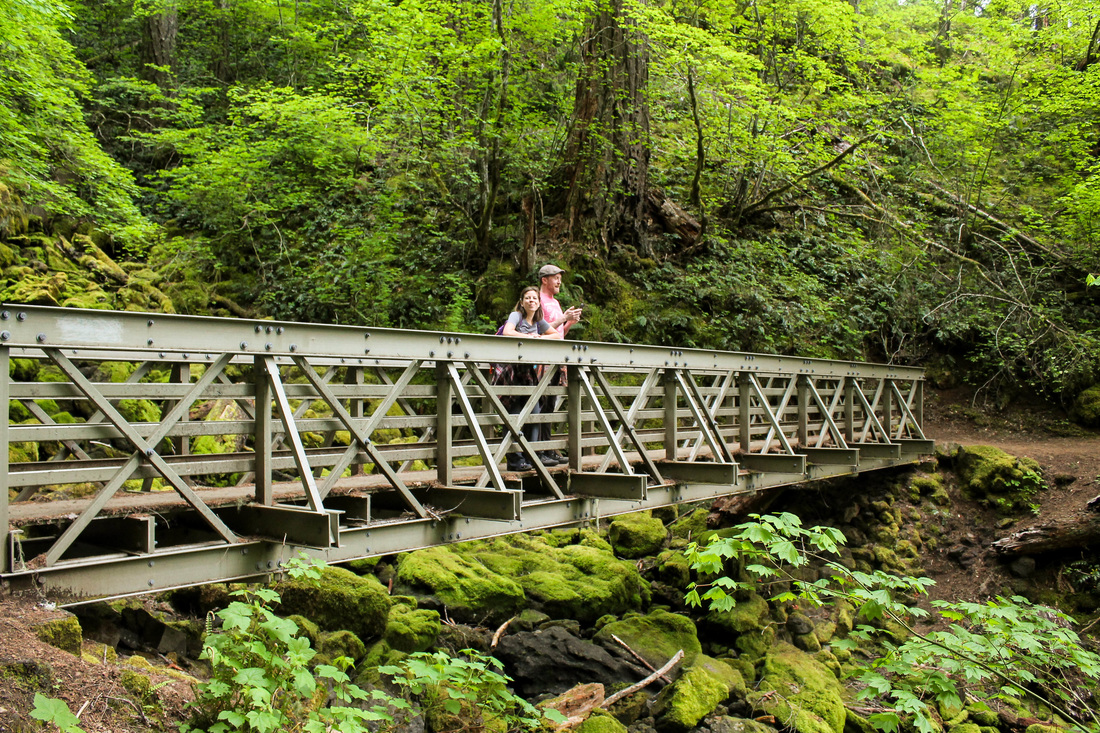
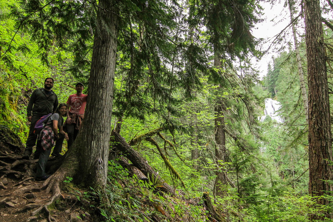
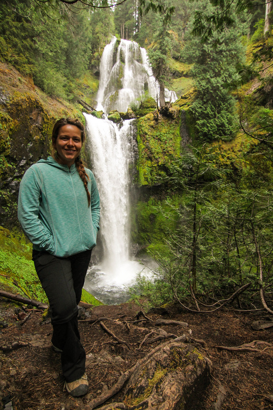
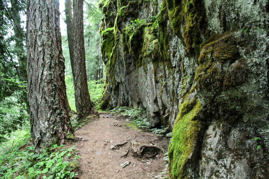
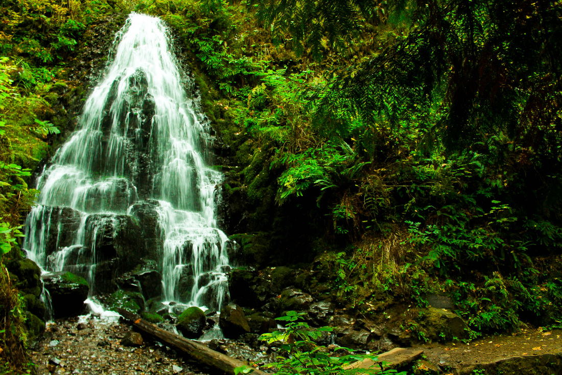
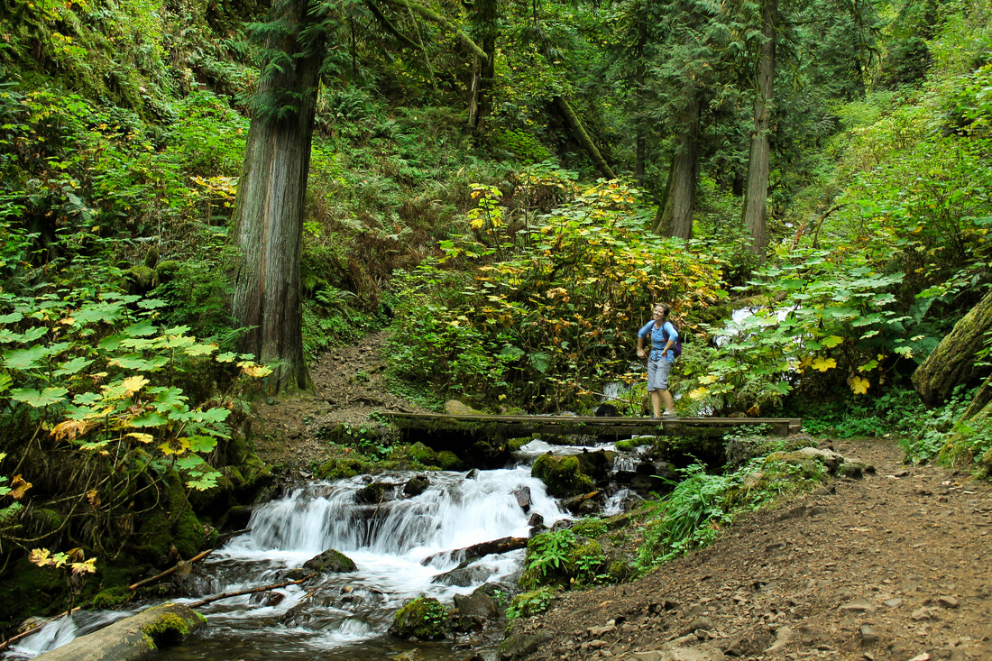
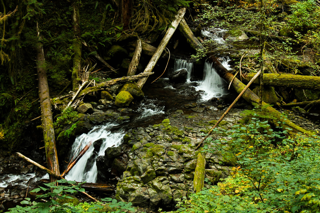
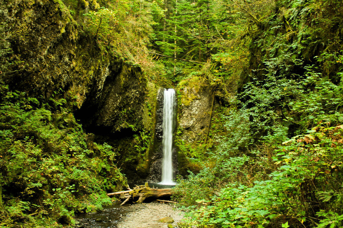
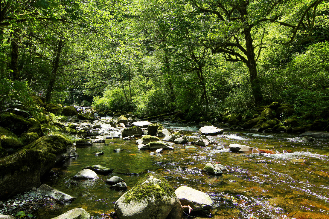
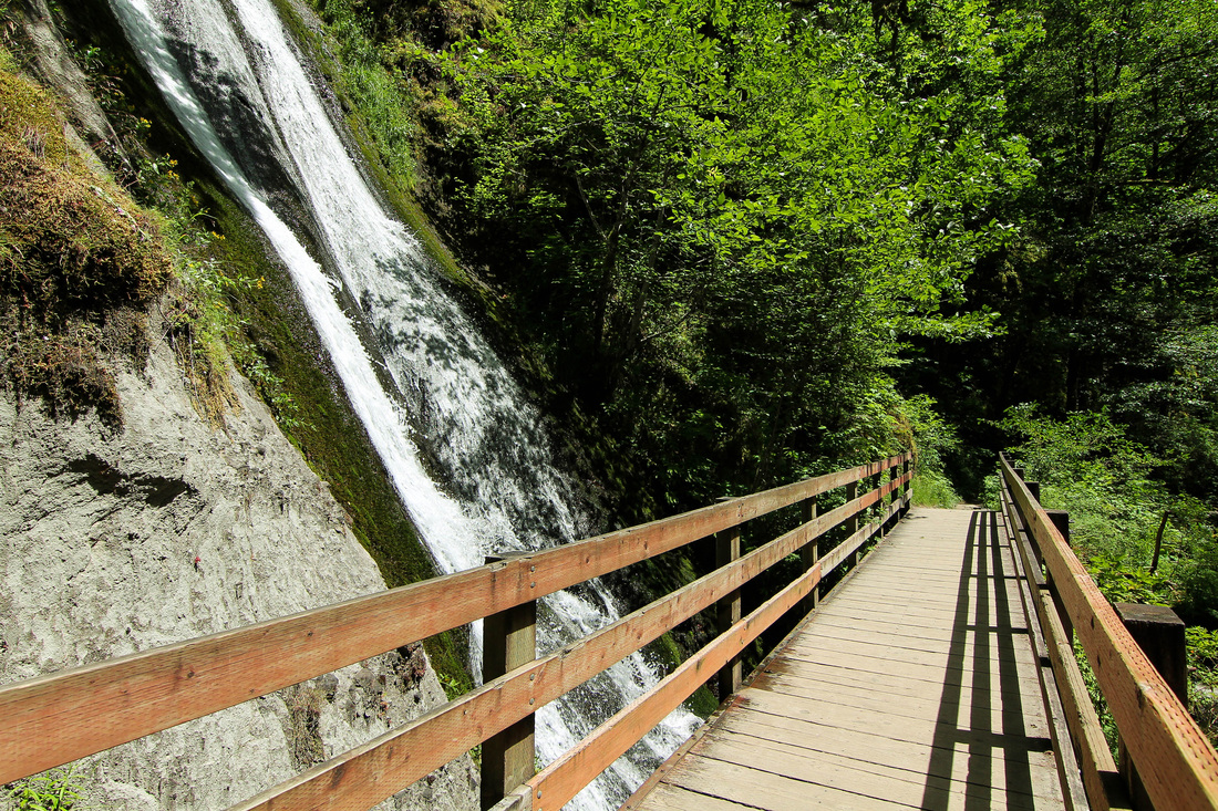
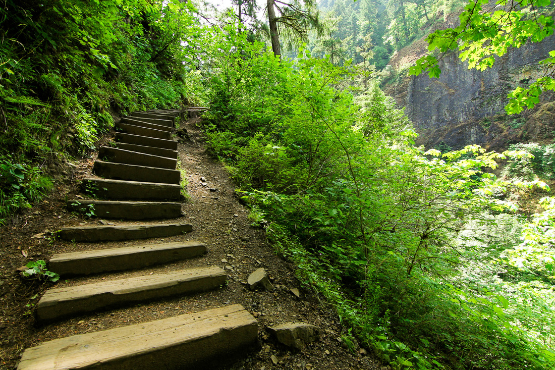
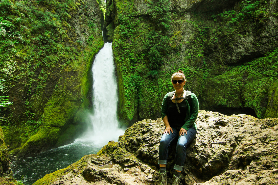
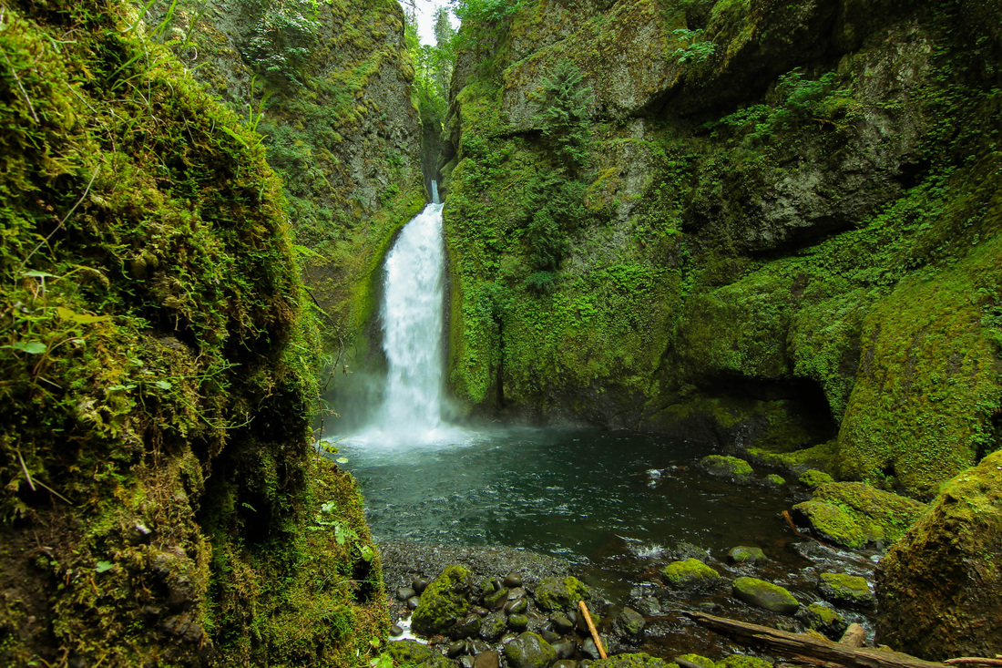
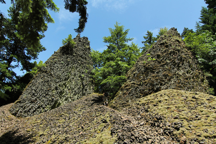
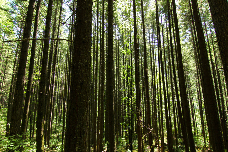
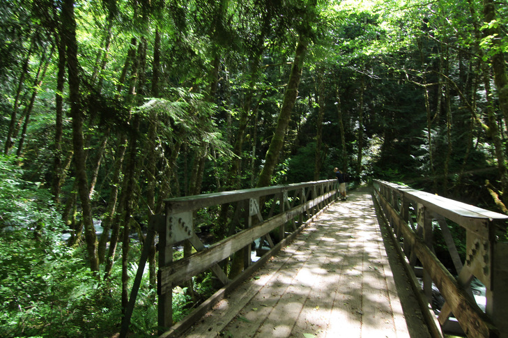
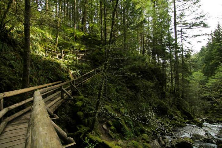
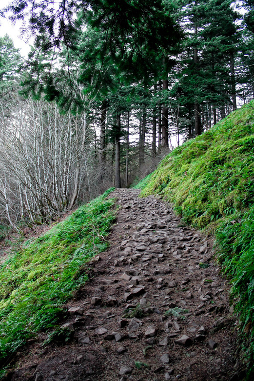
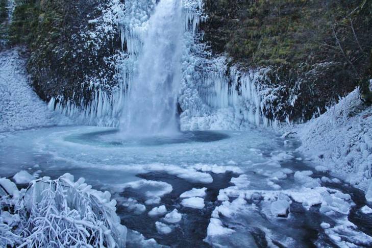
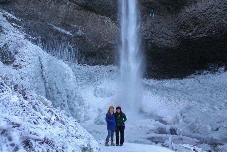
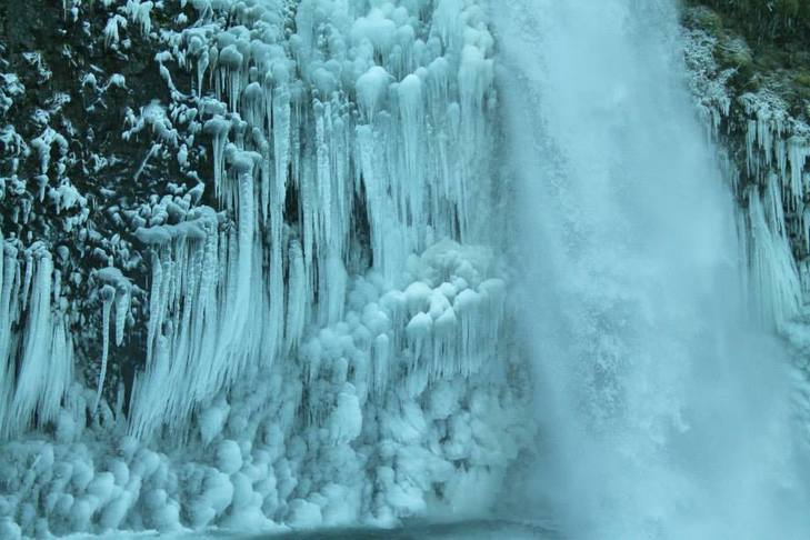
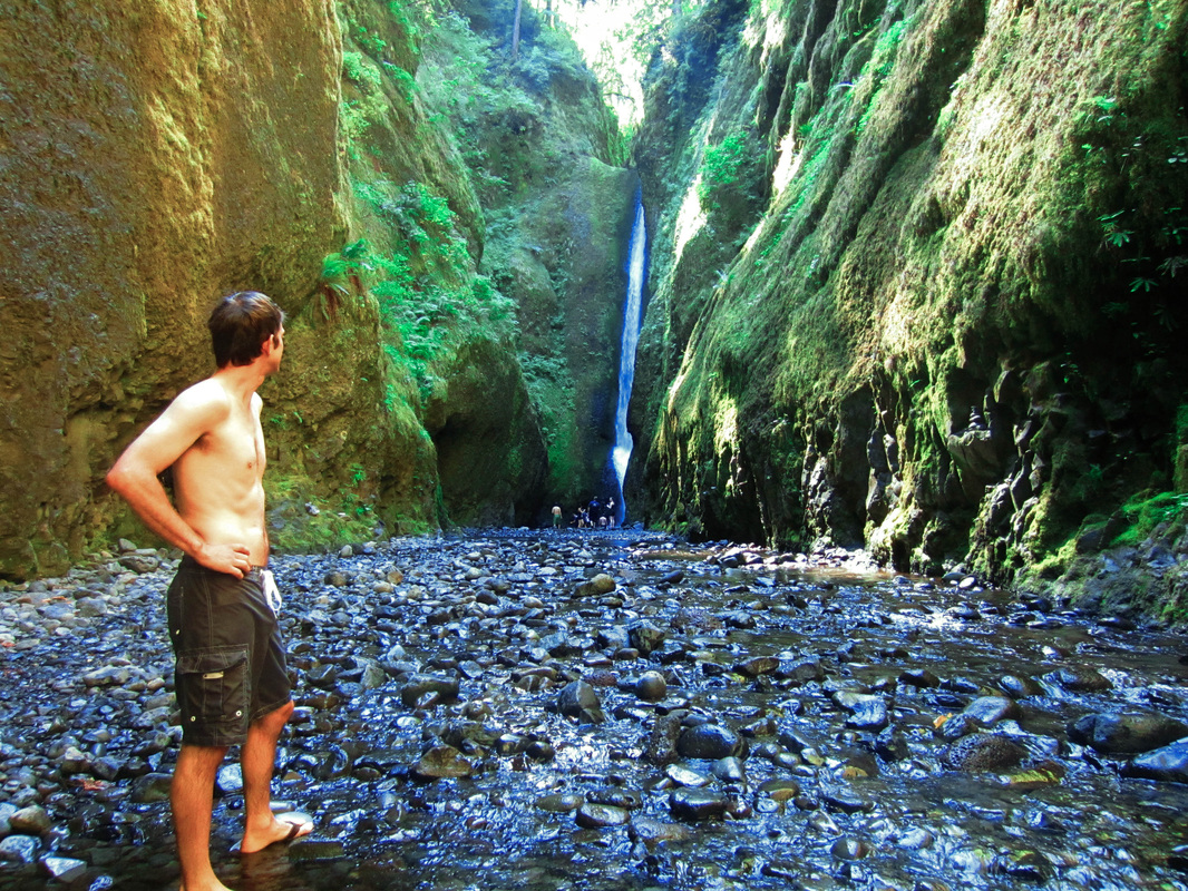
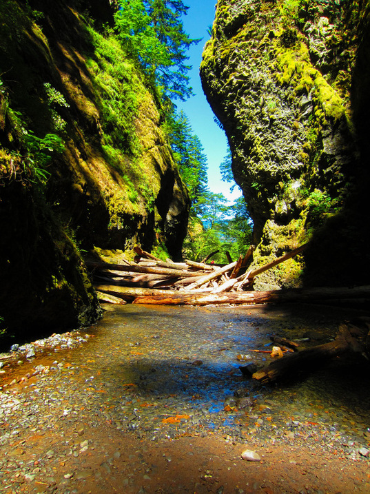
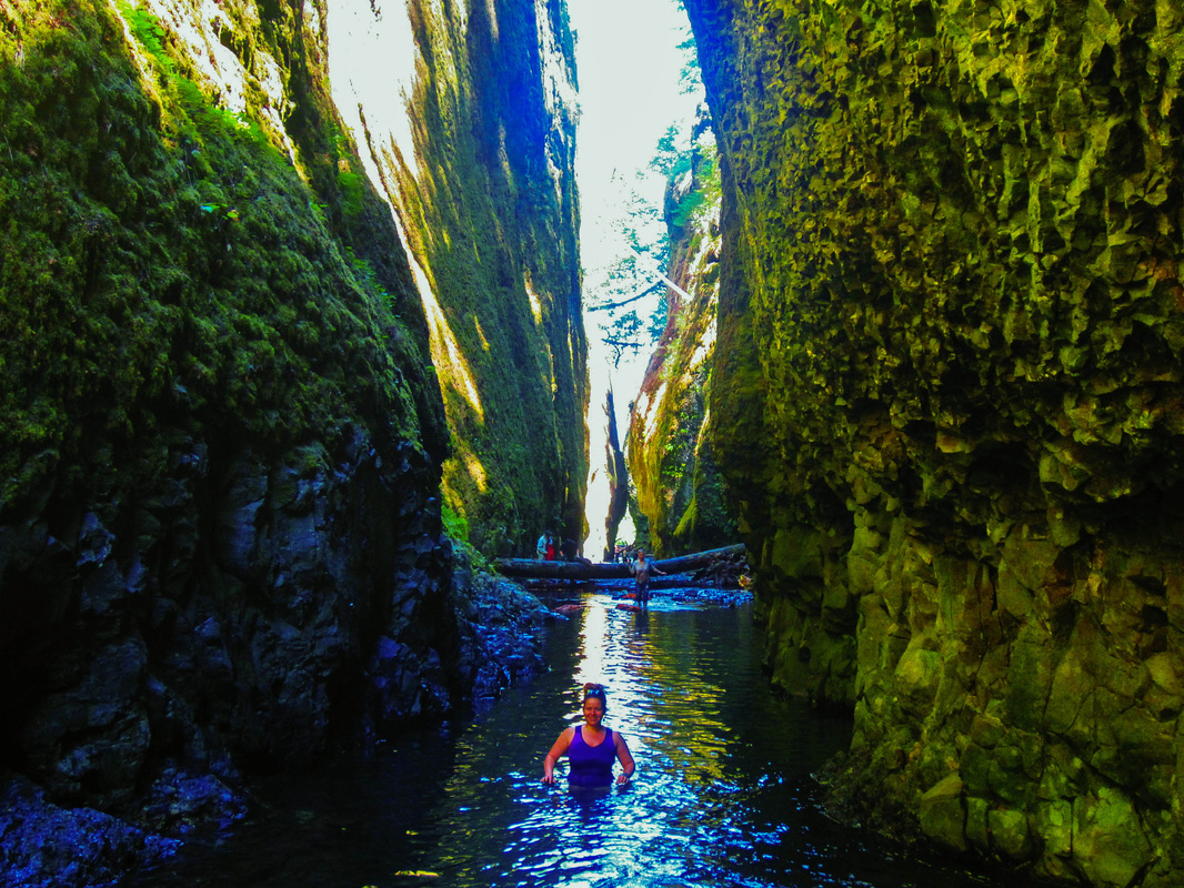
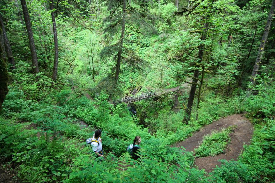
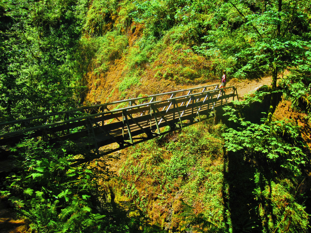
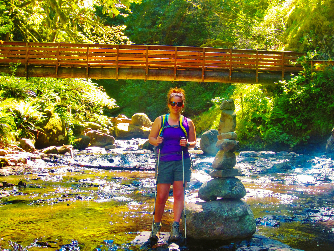
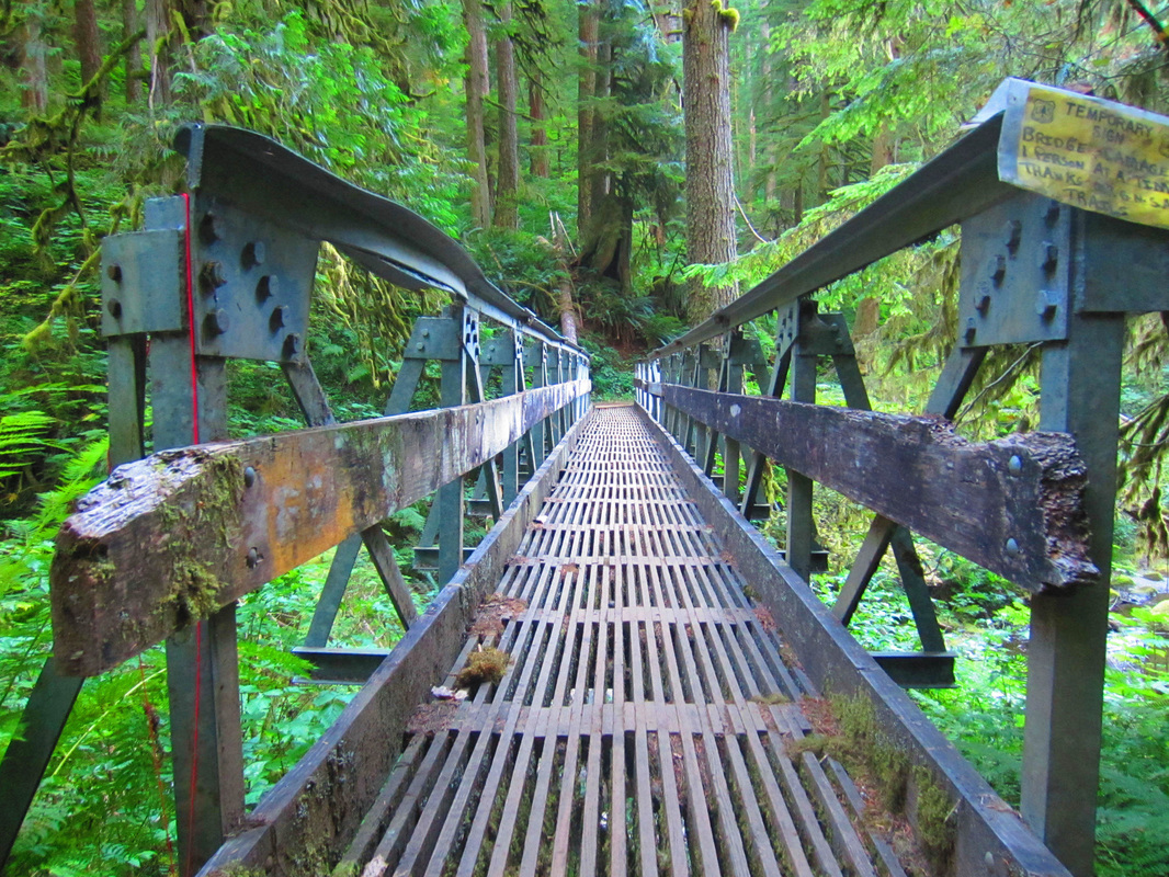
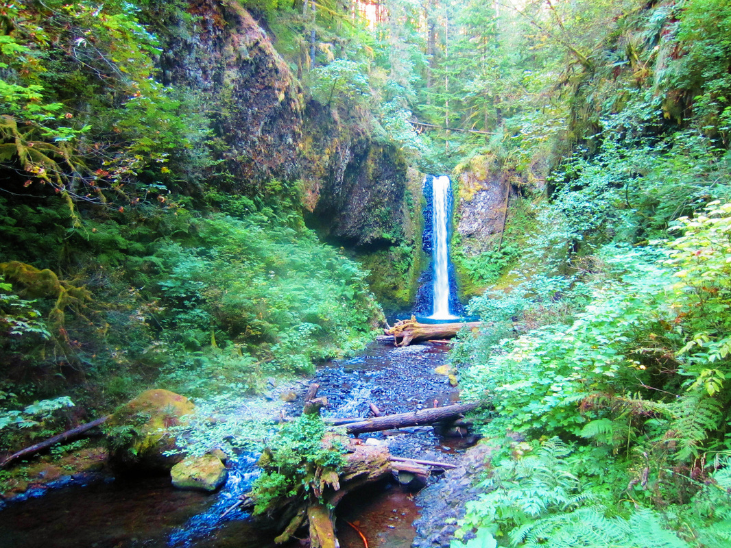
The trail rolls through lush forest with several bridges. The elevation is really mild until the scramble at the end up to the top tier of the falls (if you decide to do so). We took in the sight at the view point in front of the falls. Then, we opted to go up the left side of the falls all the way to the top. There were some sketchy parts that, if you miss-step, you would fall to certain death. After snapping a few pictures on top, we headed back down the way we came.
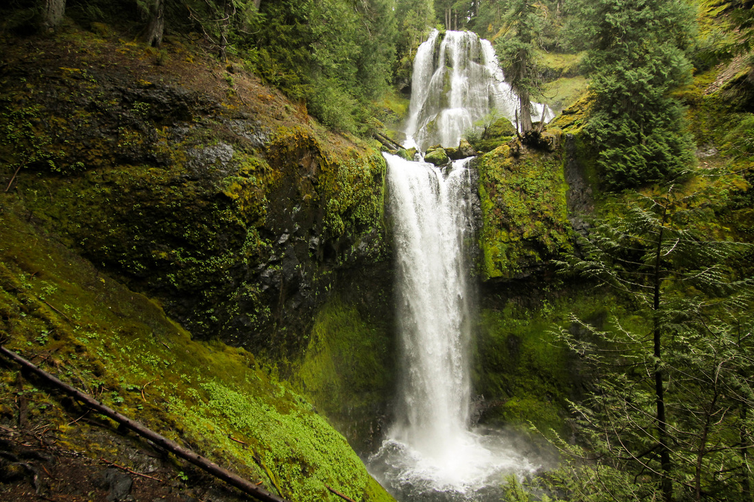
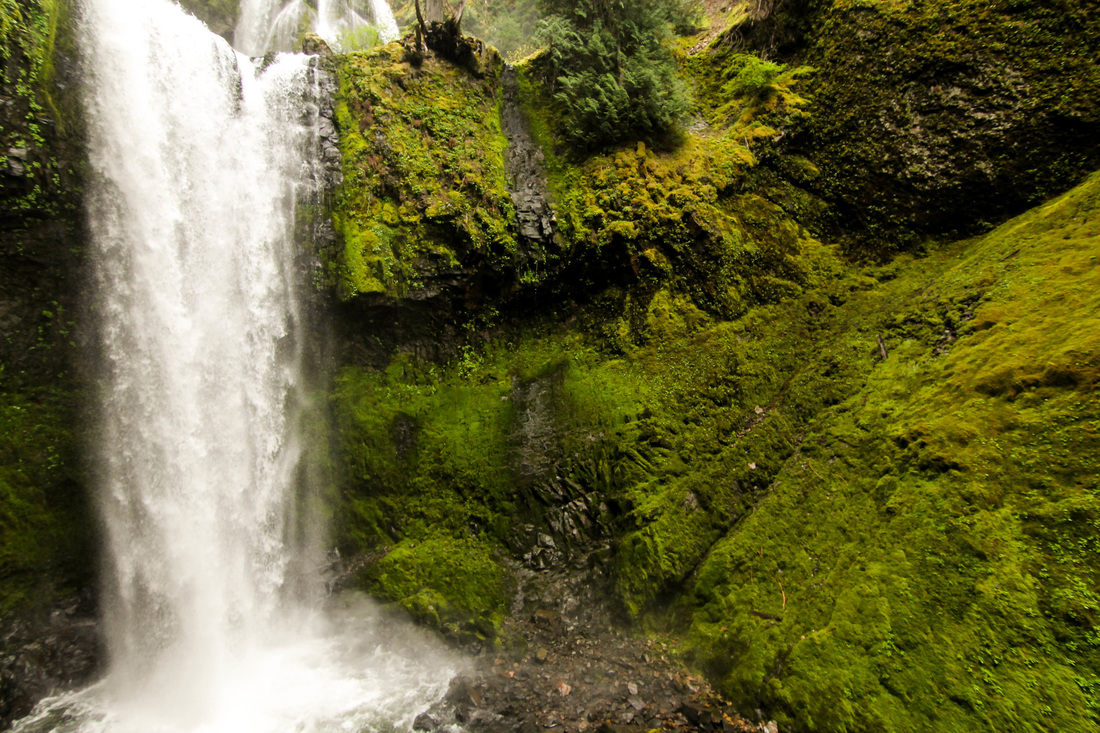
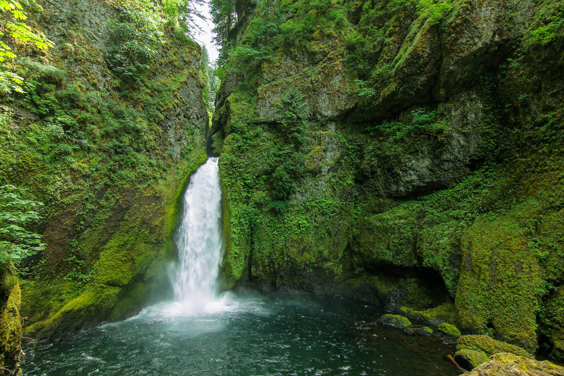
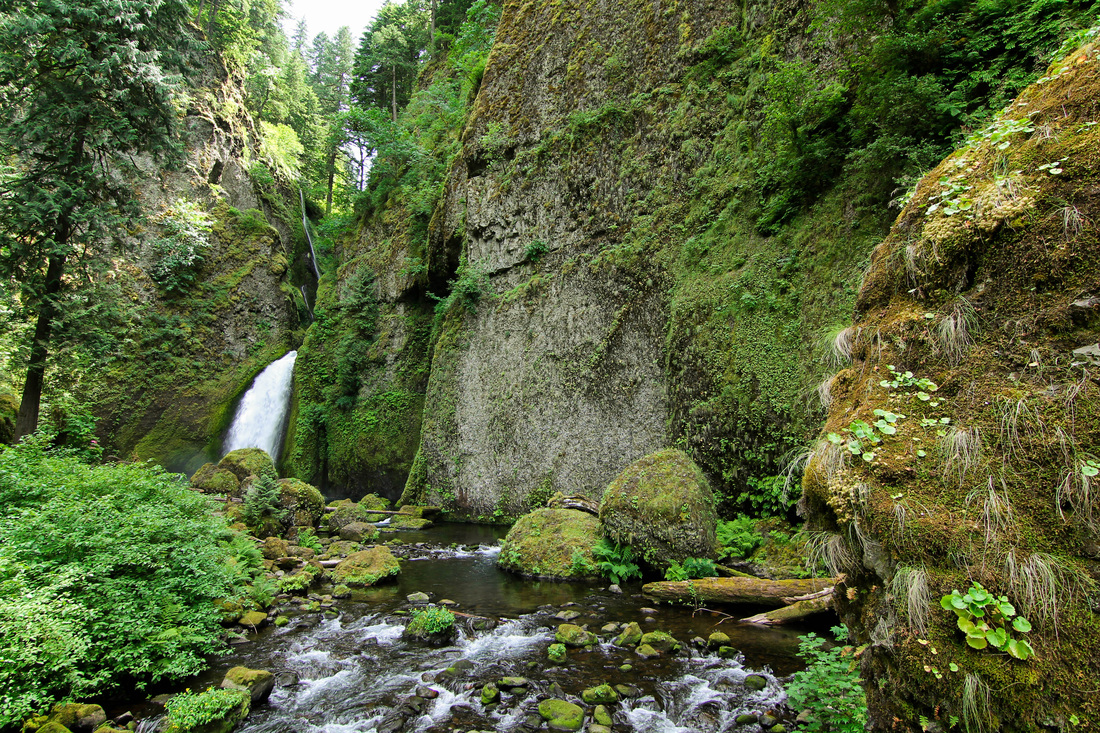
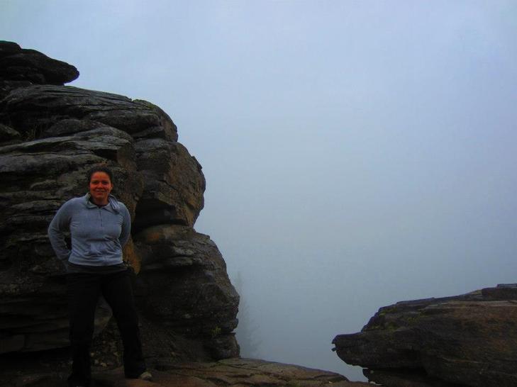
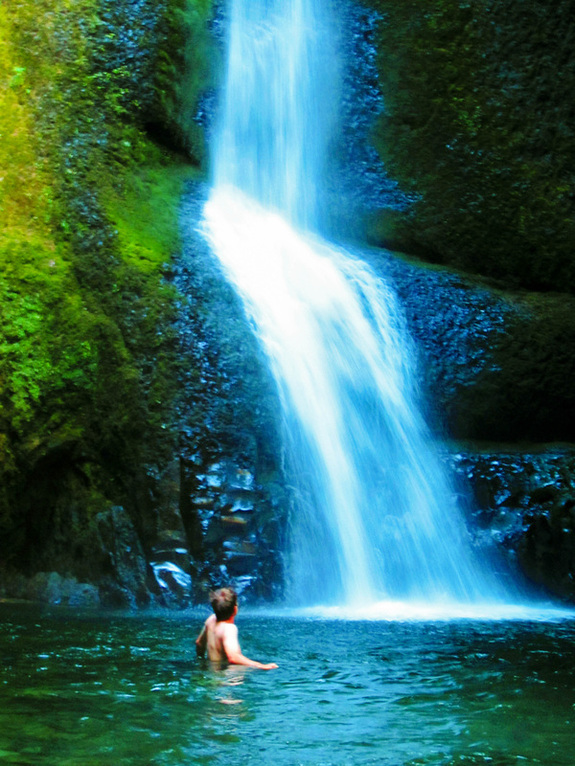
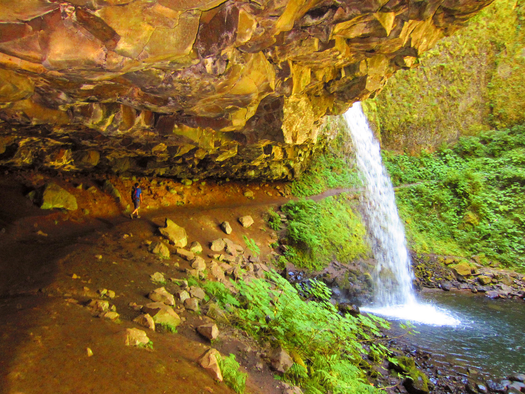
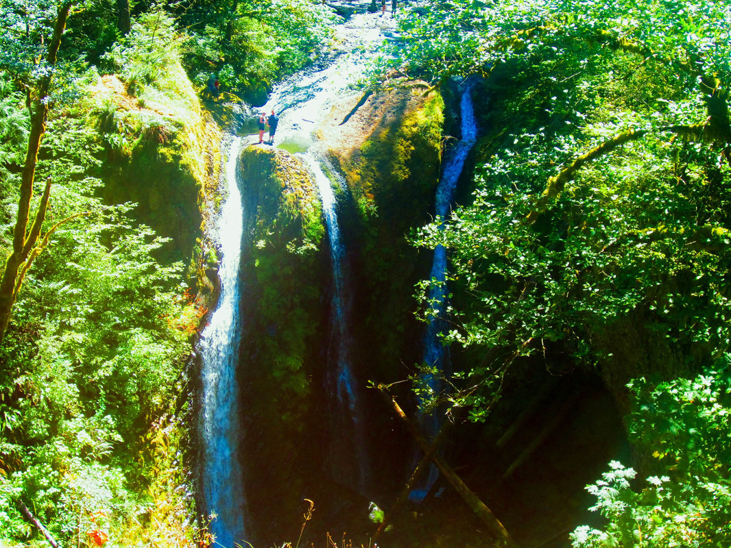
First sight of Falls Creek Falls
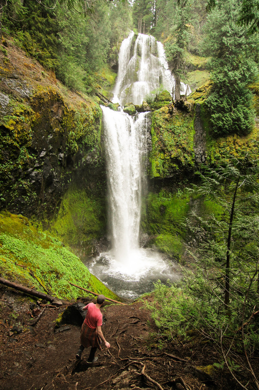
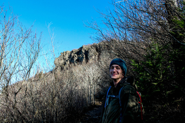
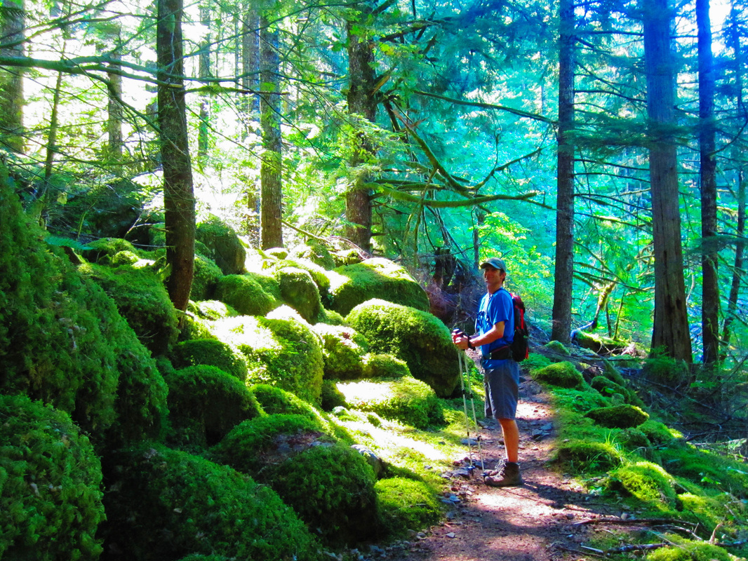
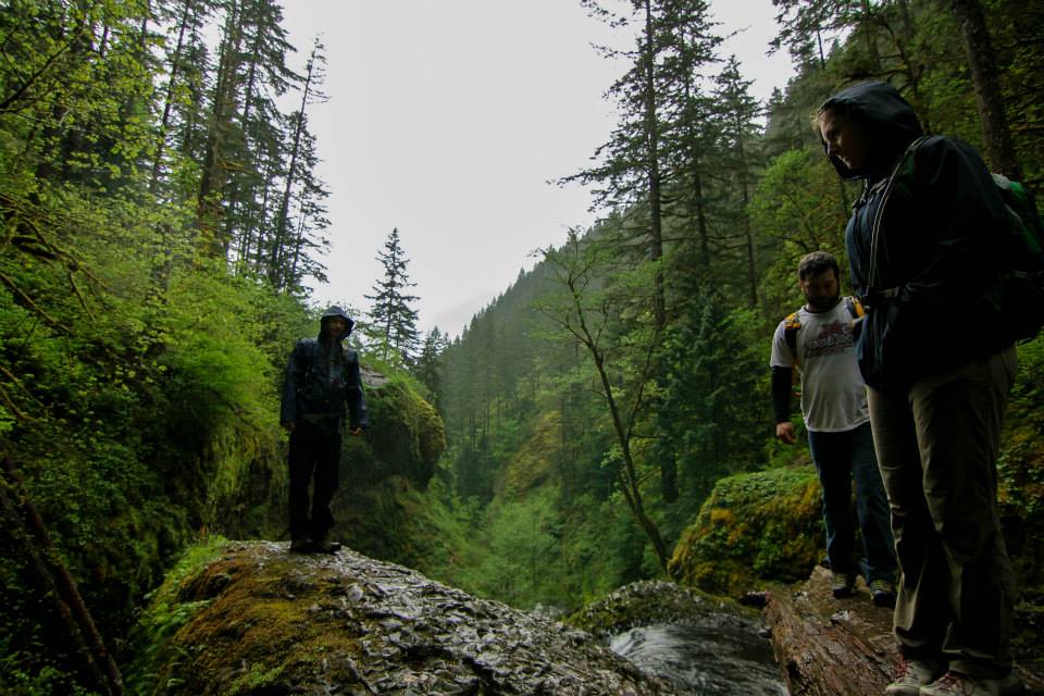
Shane
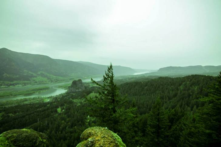
After the hike, we headed to Skamania Lodge for beers by the fire place and more views of the Columbia River. We drove home listening to La Bouche Pandora.
The Hike:
The Hike:
- Elevation: 1,000'
- Distance: 5 miles RT (if you don't go to the top of the falls, 4 miles)
- NWFP required at trailhead


 RSS Feed
