This is a popular hike in the gorge. It is accessible from The Columbia Historic Highway. I've hiked this two times, both of which were a mediocre experience. The first time, we reached the top and found ourselves in a cloud (pretty disappointing since it's a hike you do for the view at the end). The second time, we were hiking it to get that desired view and because Aaron was to write a small paper for a geology class. I'll admit, the top is cool. You can play around on the rocks and really test your fear of heights (if you have one like me). Both times we have been up there it has been insanely windy. To the point where it took the enjoyment out of it and we couldn't spend a lot of time exploring. I am curious if anyone has had a non-windy experience at the top. If it weren't windy or cold, there is a nice flat spot that would fit several groups of hikers to enjoy lunch with substantial views of the Columbia River, Mt Adams and Mt St. Helens. You pass a few waterfalls on the way. I may now have achieved "waterfall snob status" because I don't remember much of the falls (so don't do this hike if you're looking for something awesome like Ramona or Tamanawas). I also think this is a good hike to do if you're just getting your feet wet with hiking.
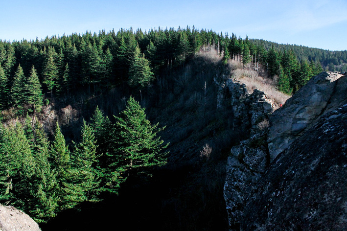
It's worth noting that there are a lot of cool rocks and formations: a geologists dream land. Aaron seemed pretty excited about a few parts.
It's worth noting that there are a lot of cool rocks and formations: a geologists dream land. Aaron seemed pretty excited about a few parts.
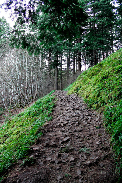
Towards the beginning of the hike: it's even green in January!
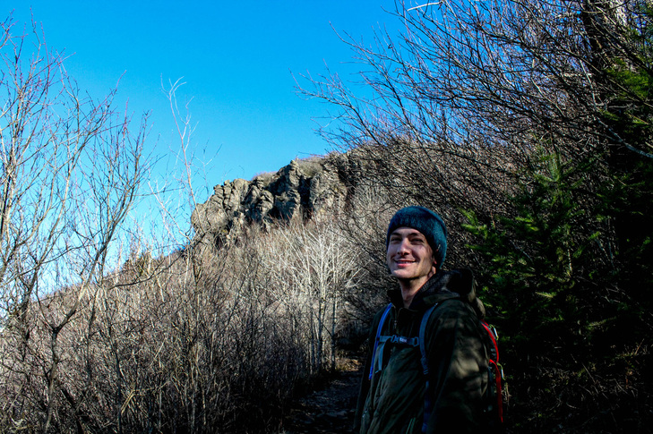
Aaron having a shocking resemblance to French Stewart. Angel's Rest in the background.
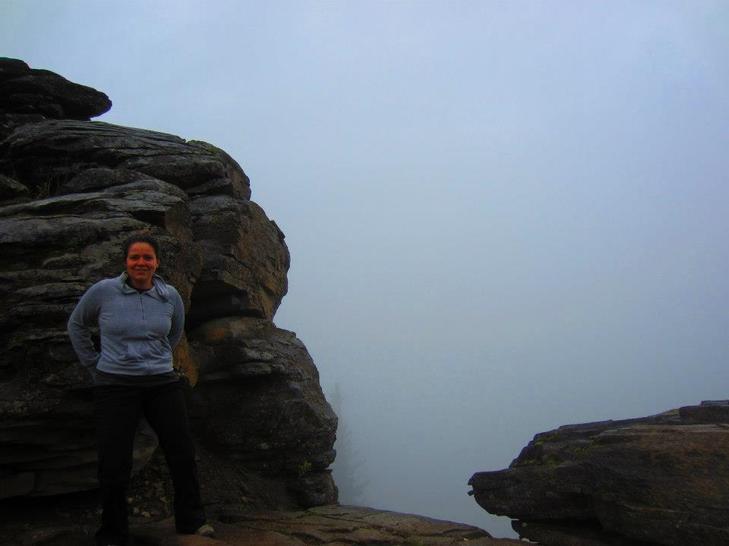
The disappointing view from the top the first time we hiked Angel's Rest
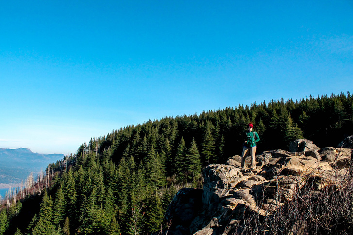
A better view of Angel's Rest the 2nd go at it.
The Hike:
- Elevation: 1,450 feet
- Distance: 4.8 miles RT
 RSS Feed
