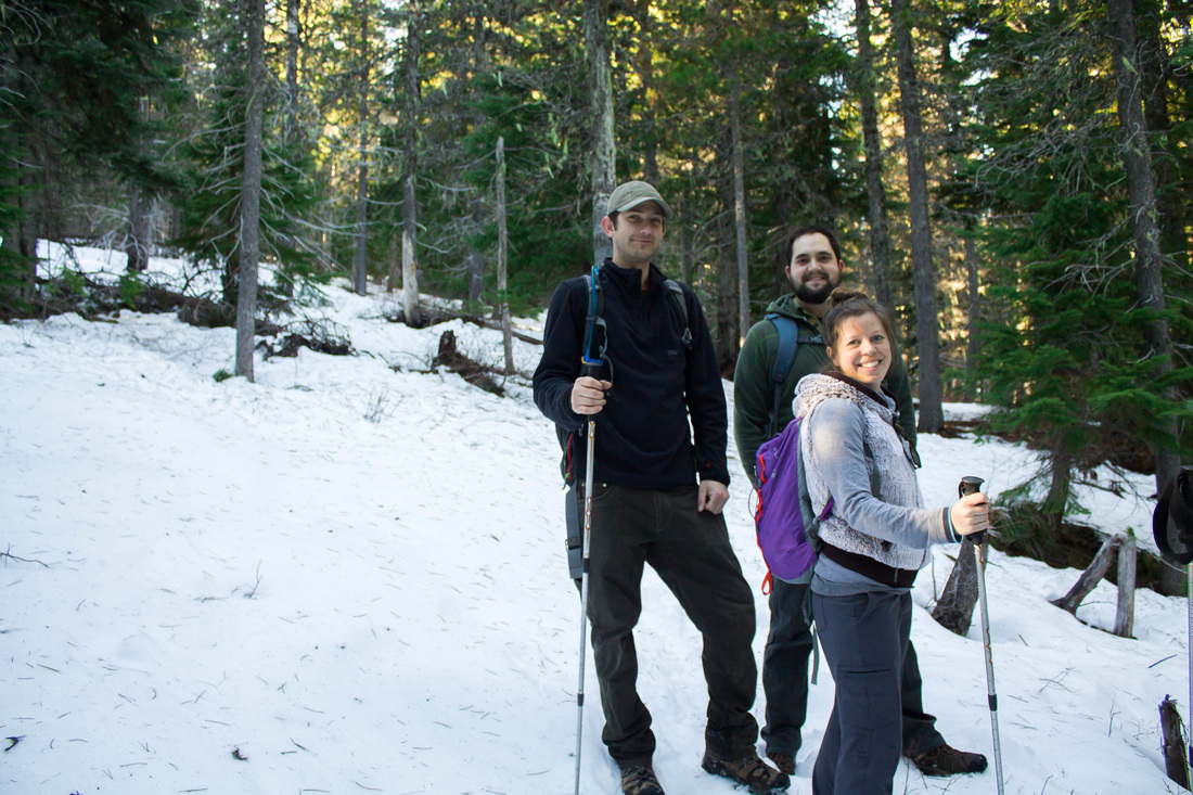
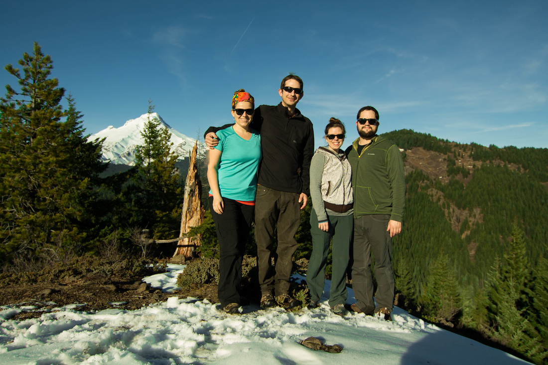
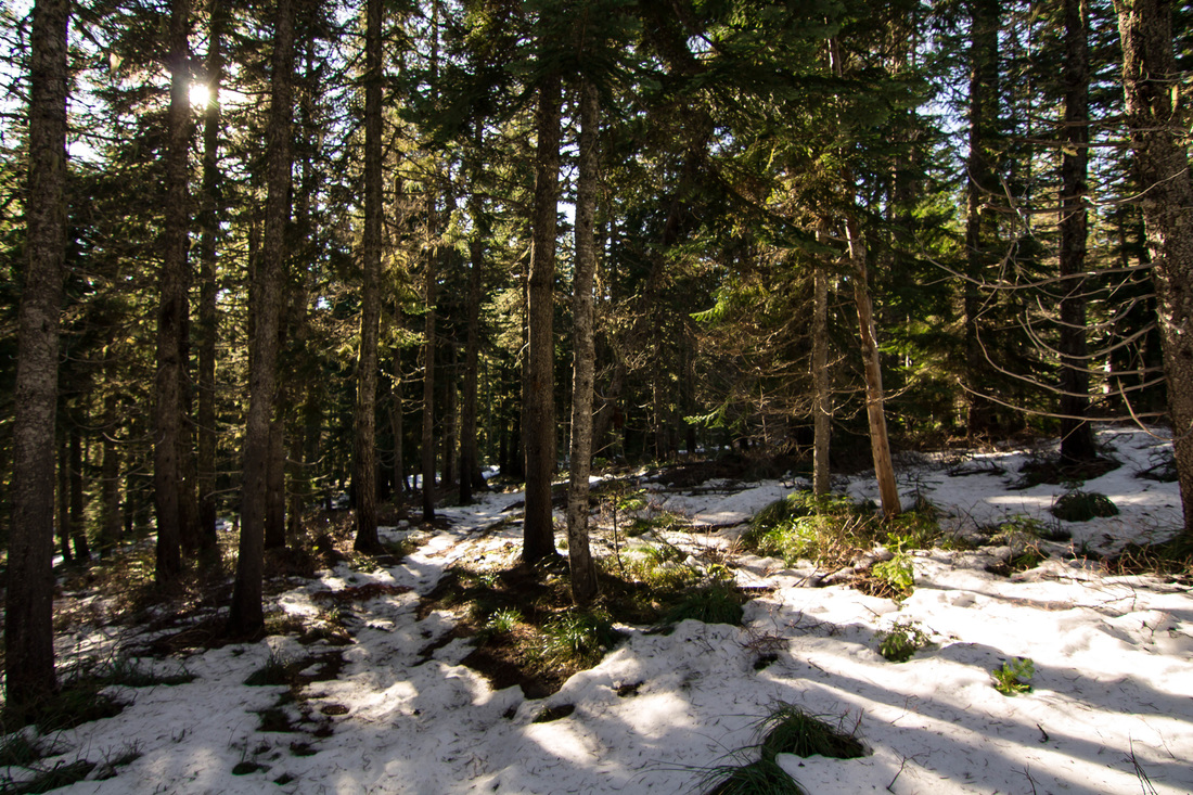
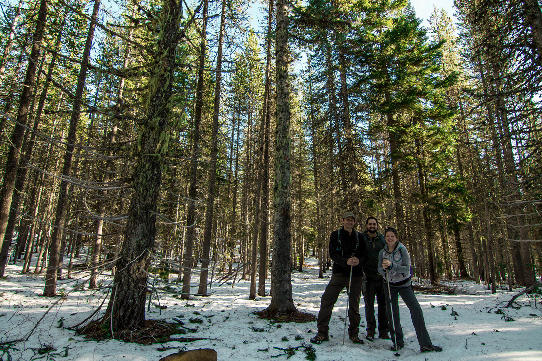
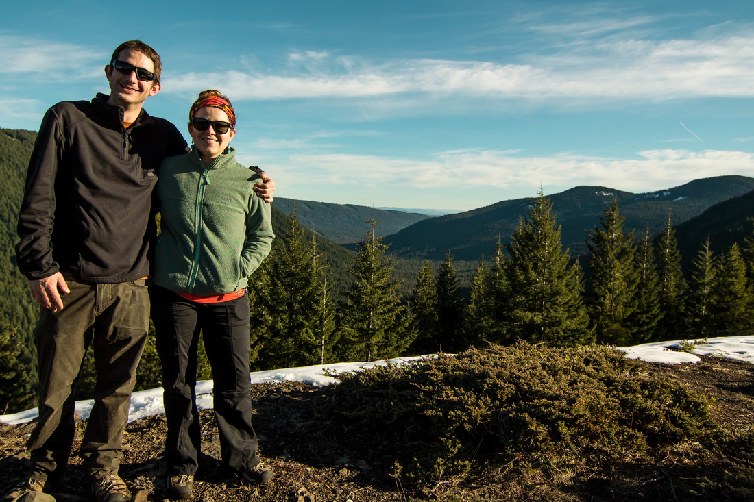
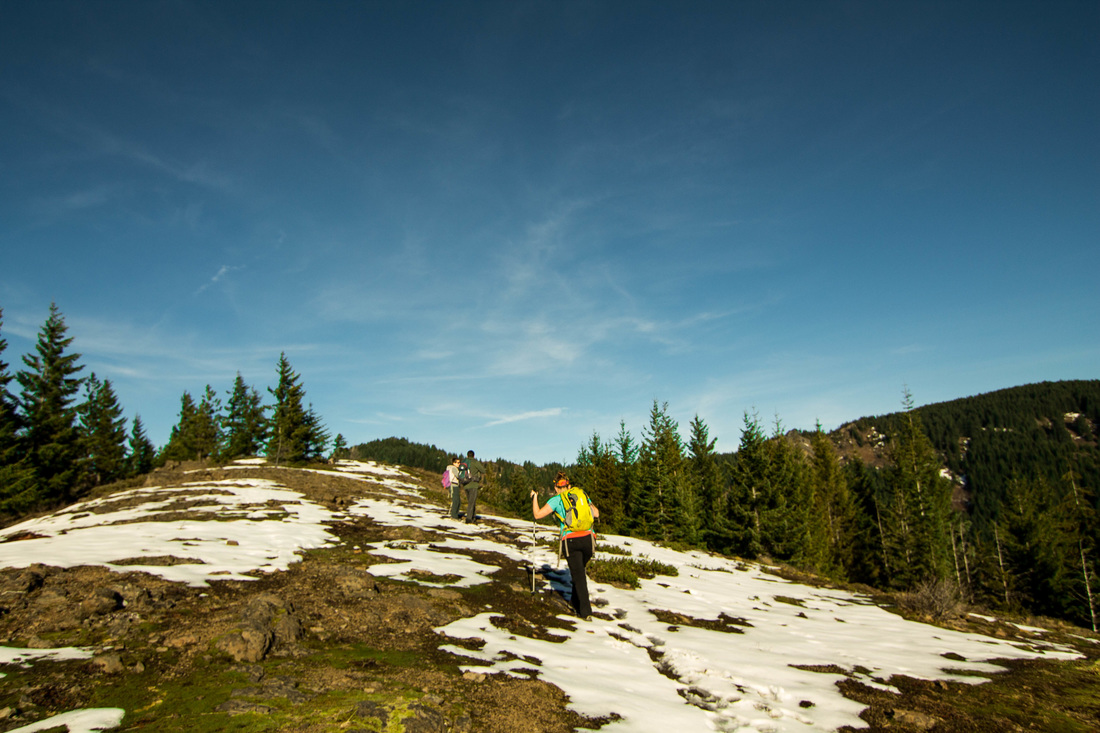
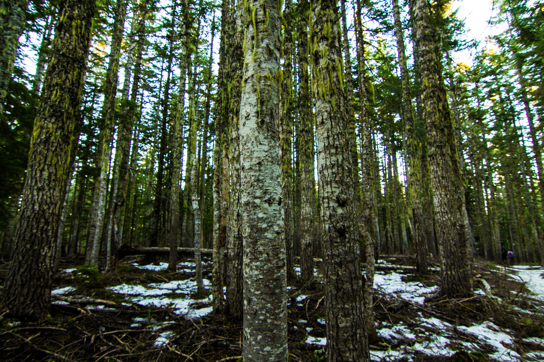
This hike was recommended to me by my boss, Nick. There are several ways to get to this spot, depending on the length of hike you're looking for and what you want to see. We began our hike from Barlow Pass Sno Park. But before we could begin our hike, we had to help 2 cars that were stuck in the snow off the sides of the road. They were lucky there were 4 Wisconsinites who are accustomed to this sort of thing help them out, because they had no idea what they were doing. We taught them about how flooring it does nothing and the importance of the rocking maneuver to gain momentum. The hike starts out on the PCT and gently climbs and then descends into a valley. We did this hike the end of January, so we were in snow for most of the hike. You meander through a forest and the trees get larger as you go into the valley. At the Twin Lakes/Barlow Pass Junction, follow the trail towards Twin Lakes. You'll go left again at the next junction and follow a spur trail up to the left to get to Palmateer Point. Because we wanted a shorter hike, we reached our destination and then went back the way we came. You can make this a longer hike by going back down the spur trail (off of the peak) and then continue down the Twin Lakes trail which will meet back up with the PCT. Take the PCT the 4 miles back to Barlow Pass Sno Park. You can also start this trail at Frog Lake Sno Park and hike past the lakes first.
The Hike:
- Elevation: 650 feet
- Distance: 4 miles RT
- Sno Park Pass required at trailhead
 RSS Feed
