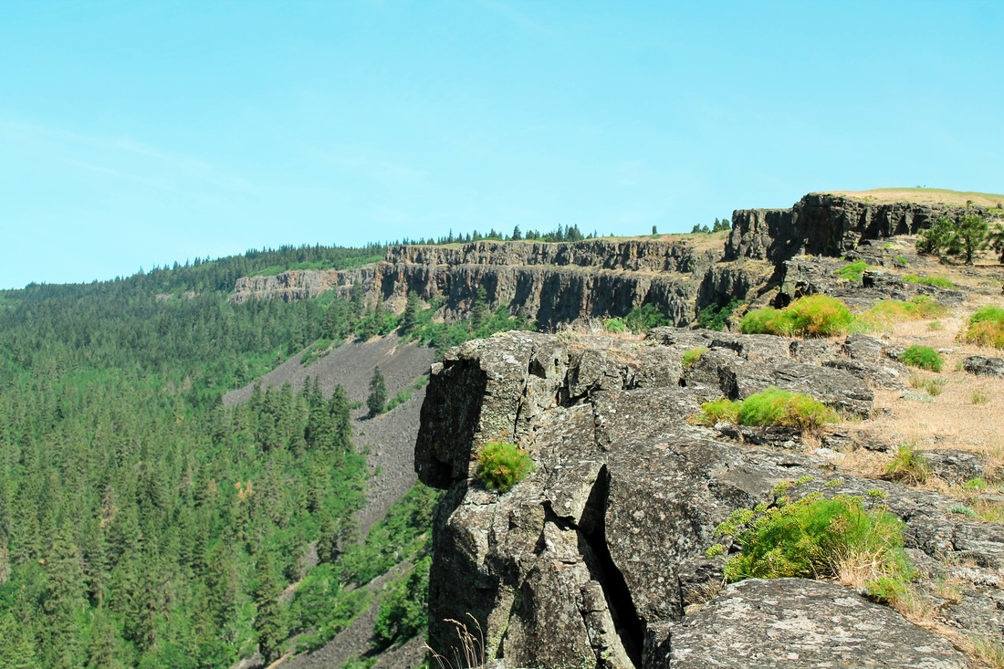
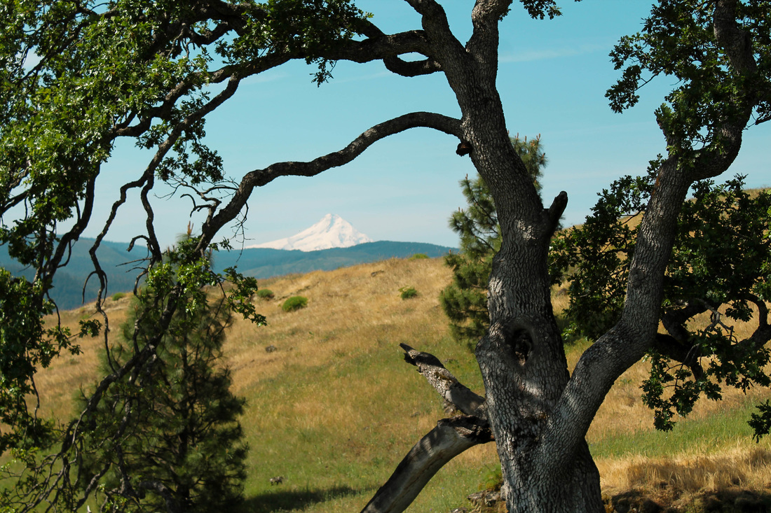
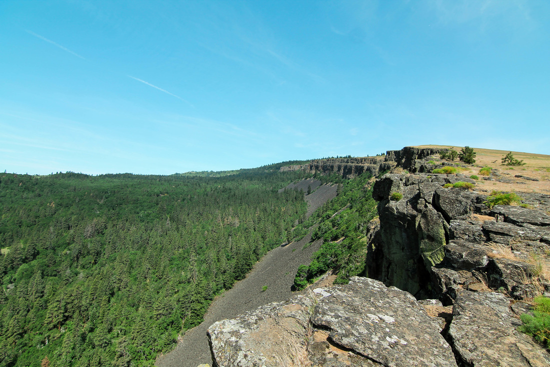
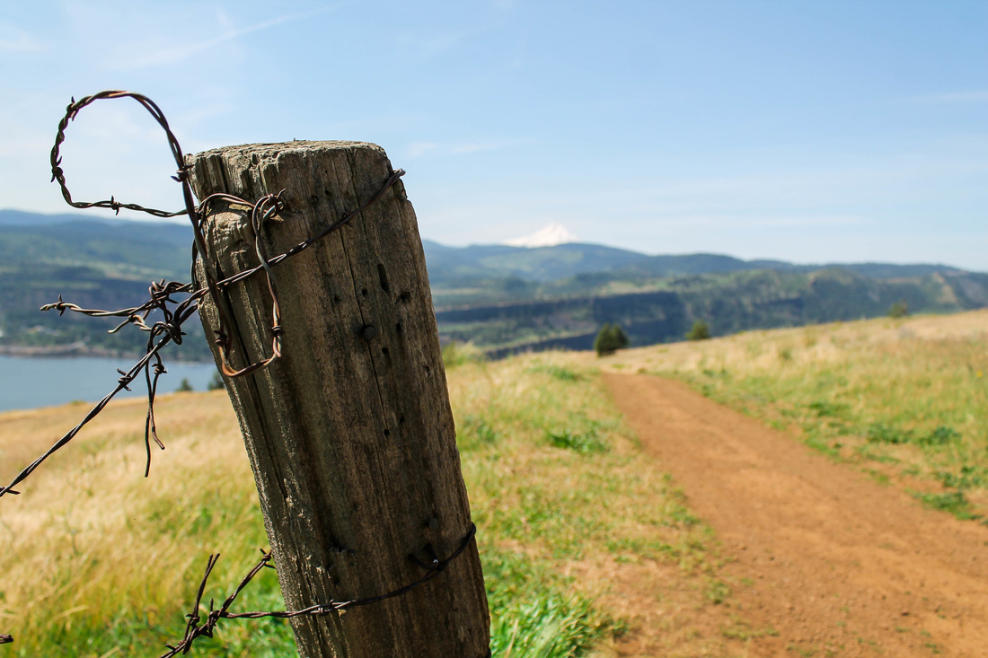
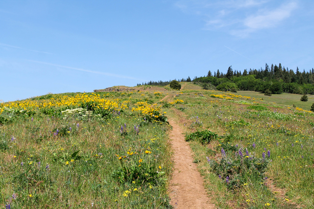
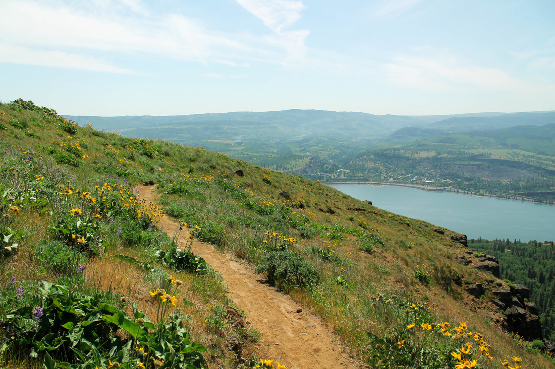
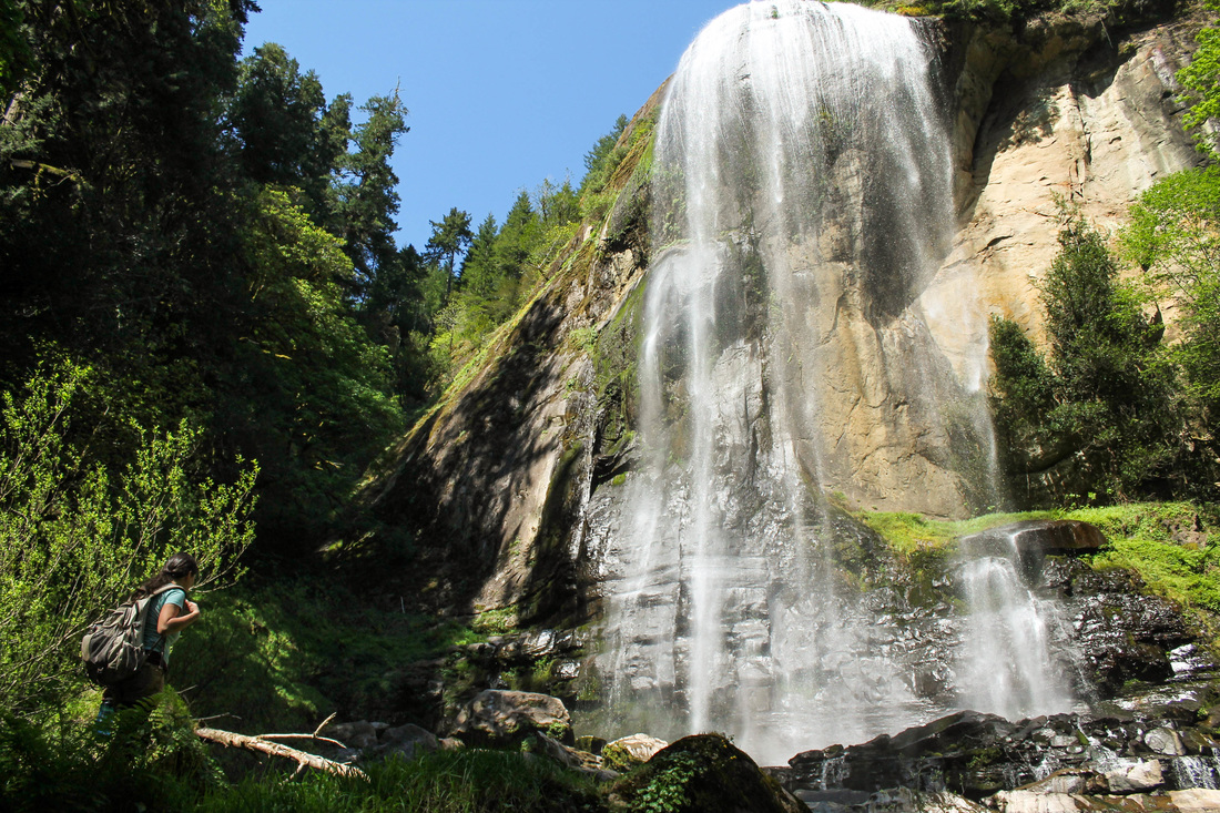
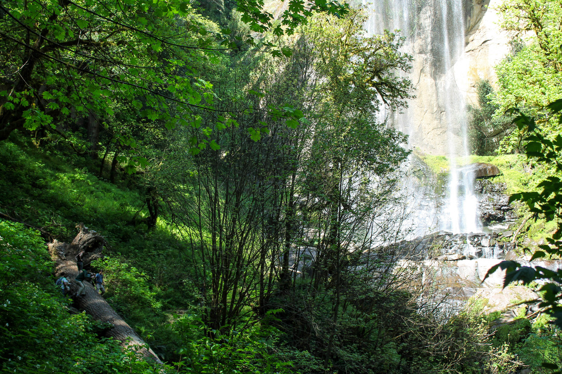
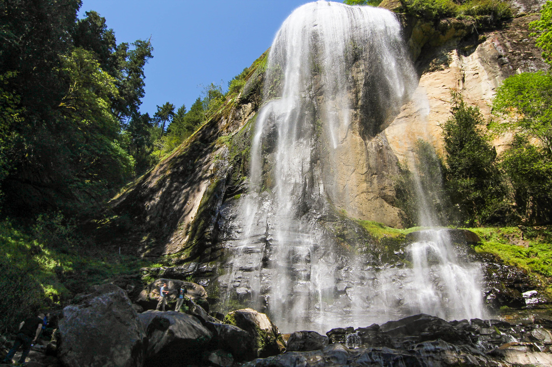
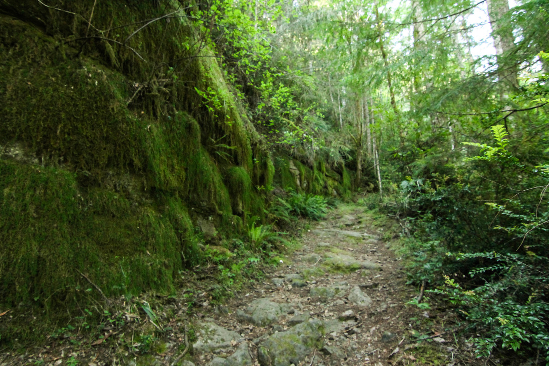
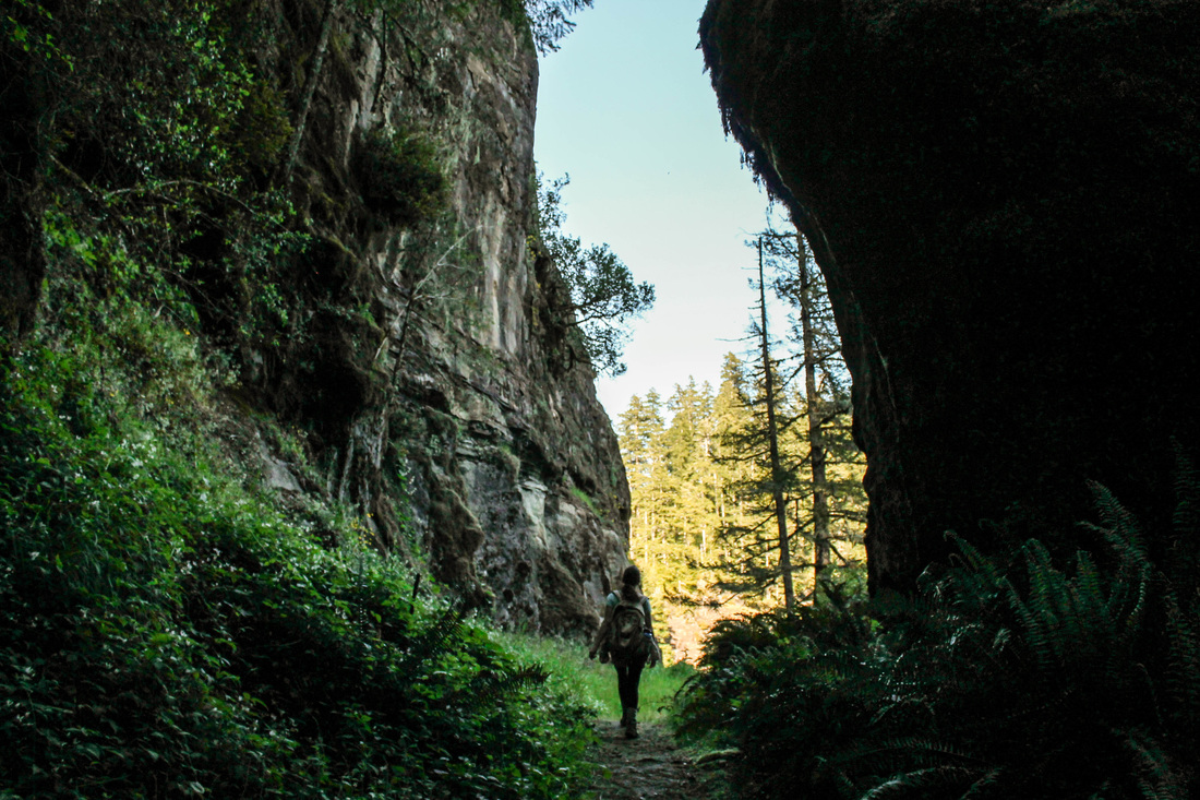
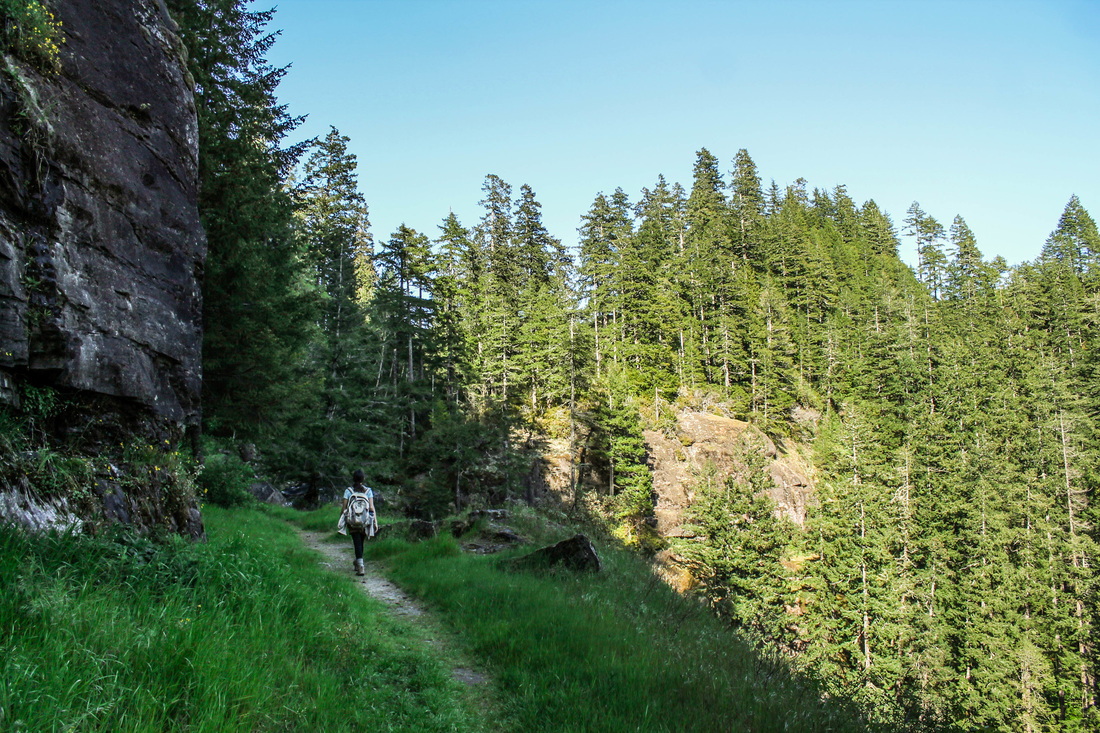
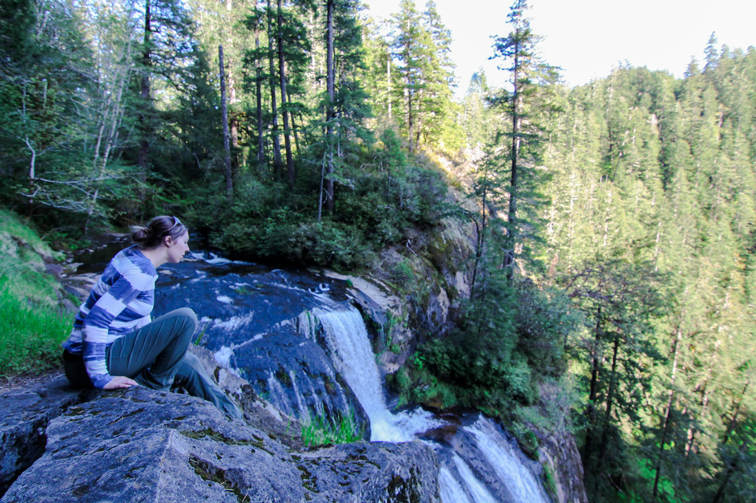
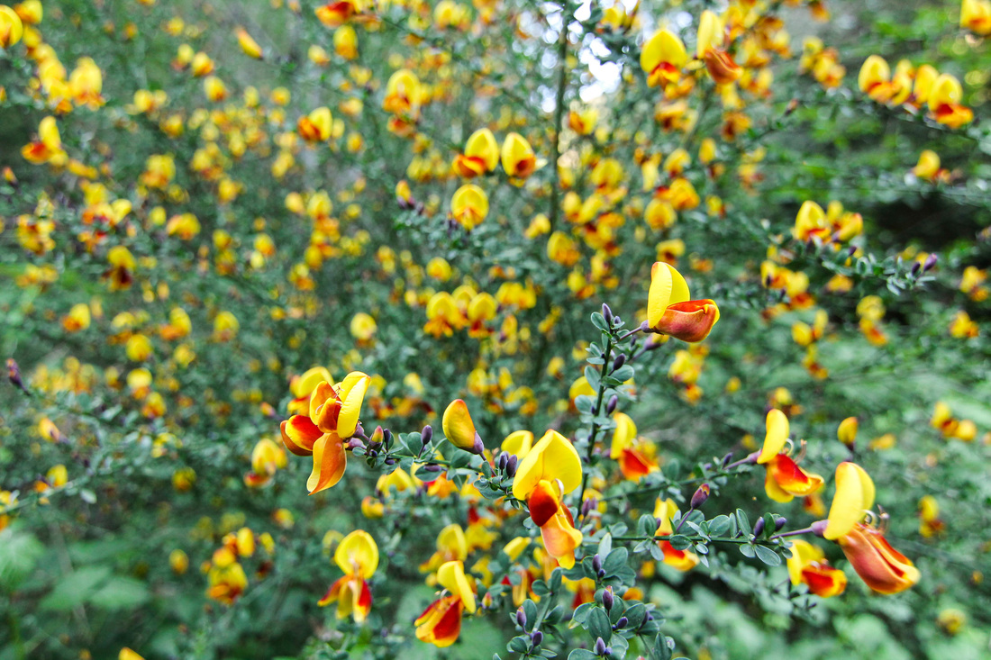
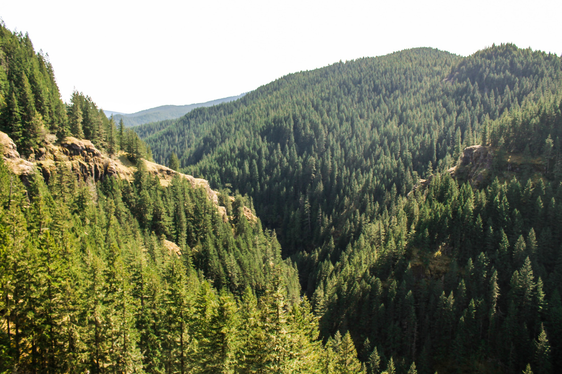
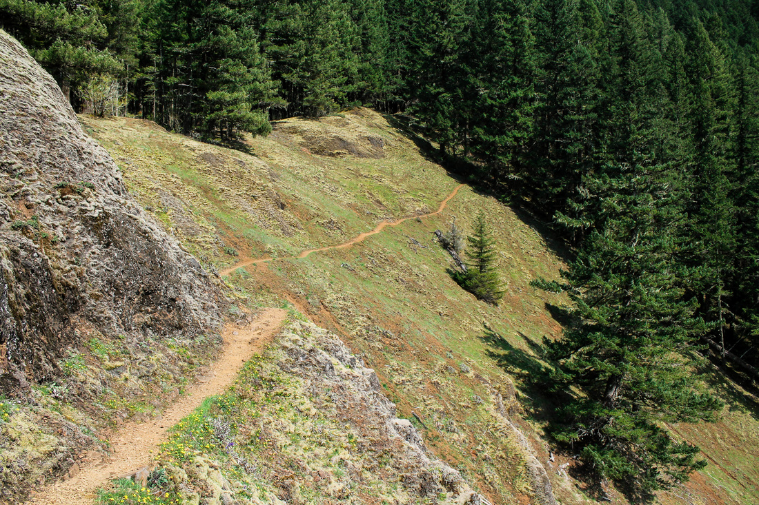
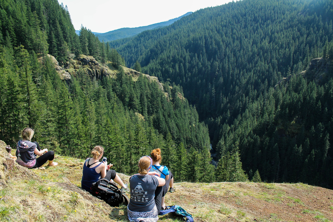
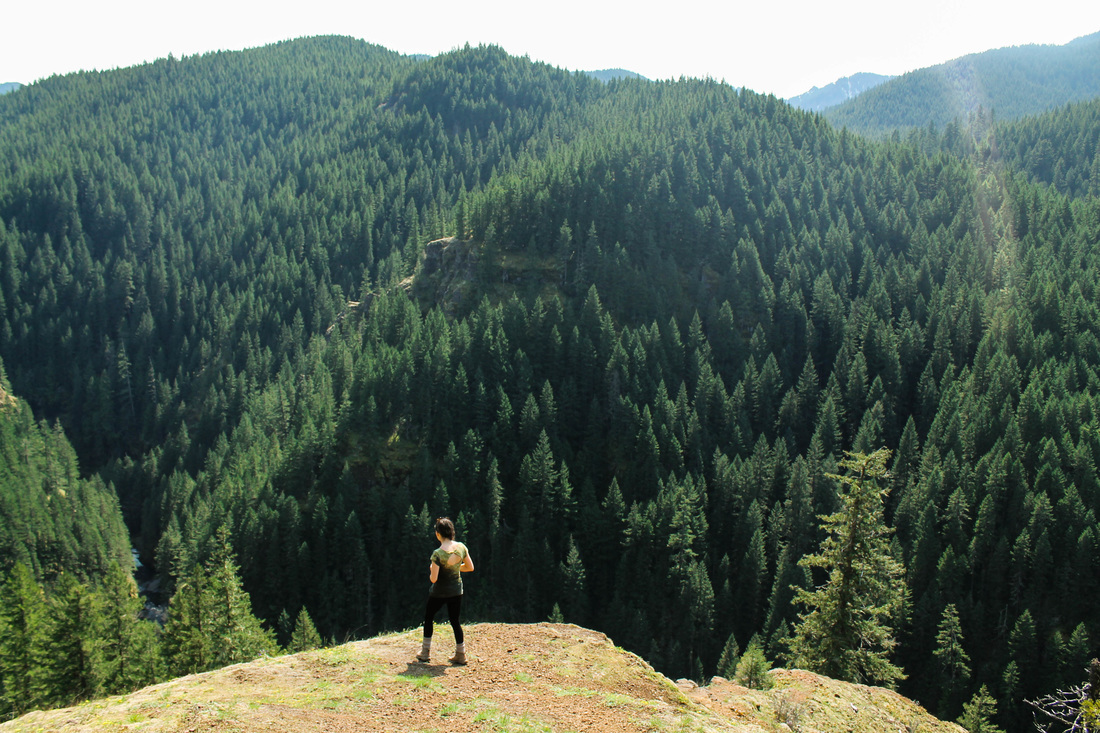
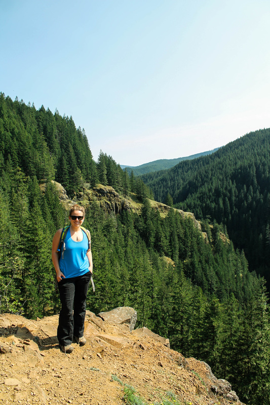
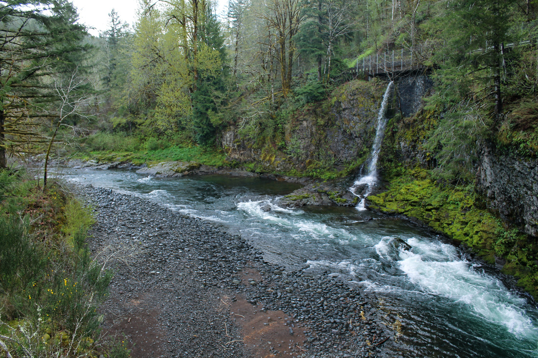
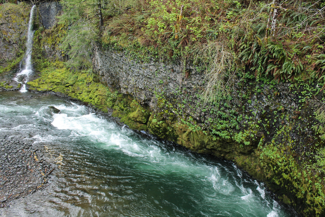
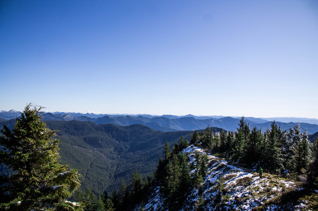
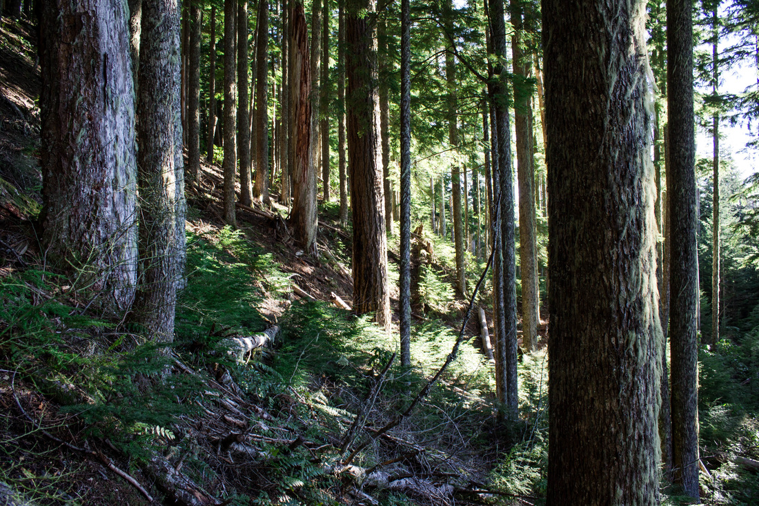
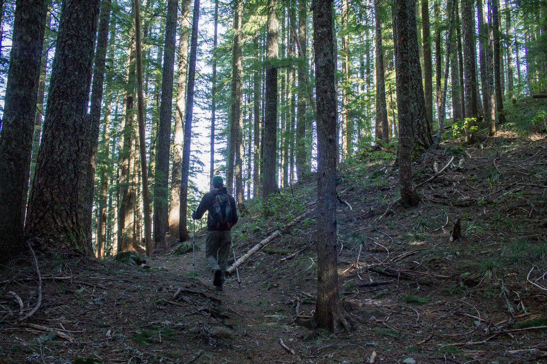
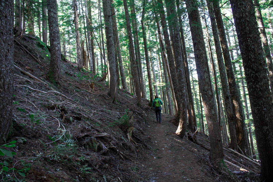
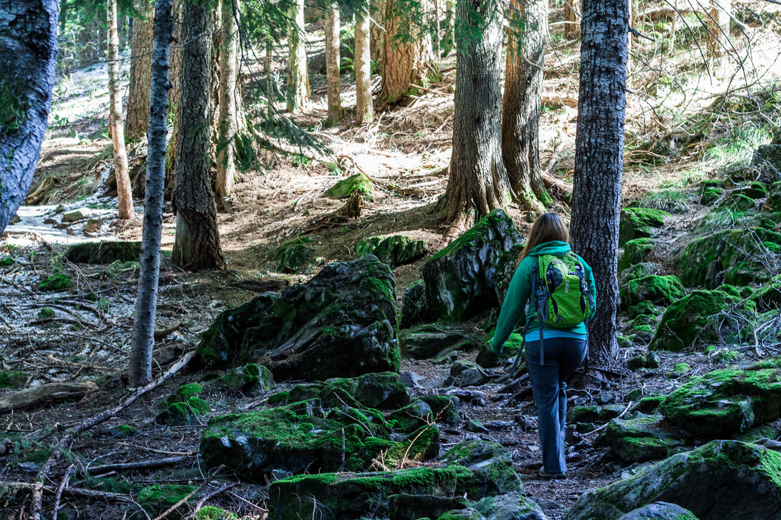
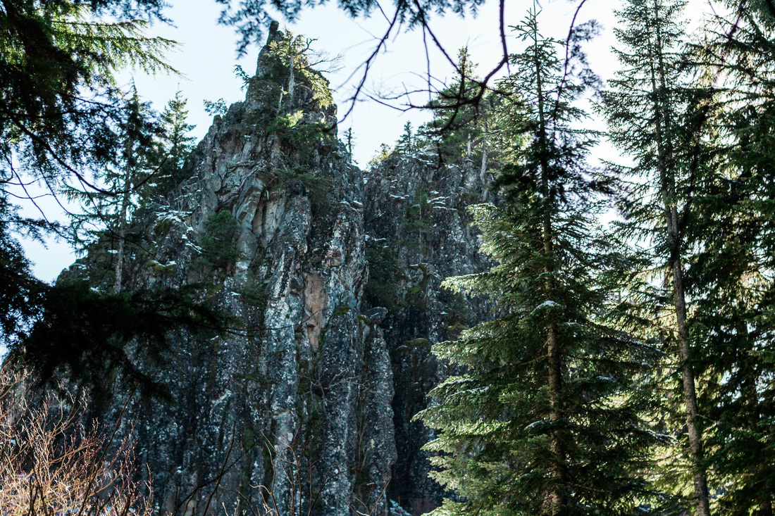
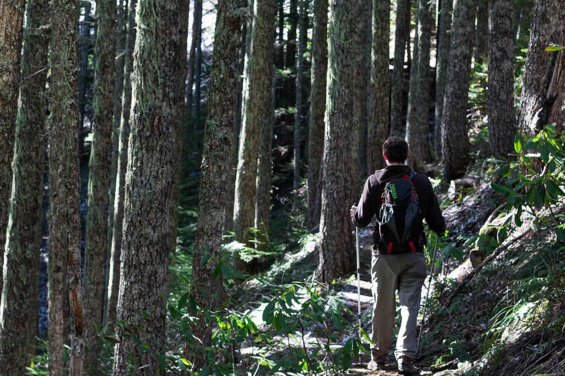
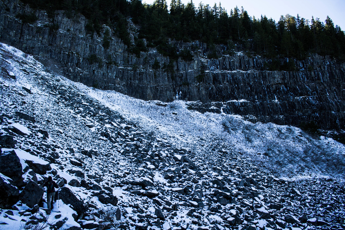
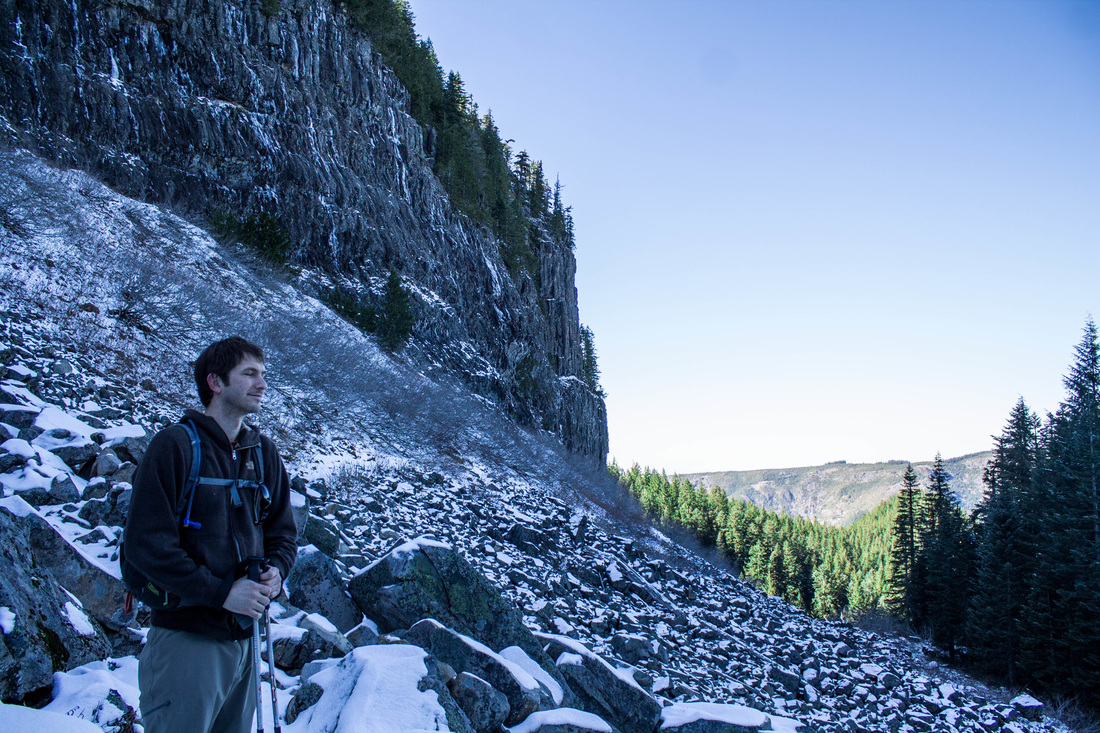
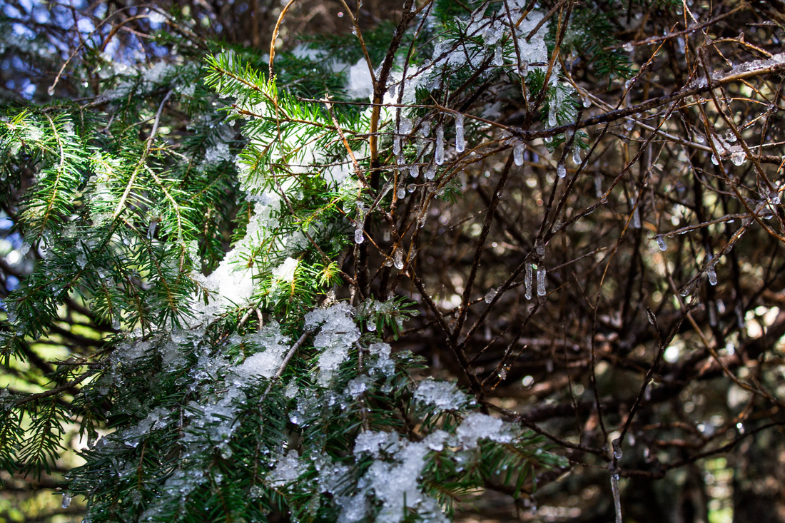
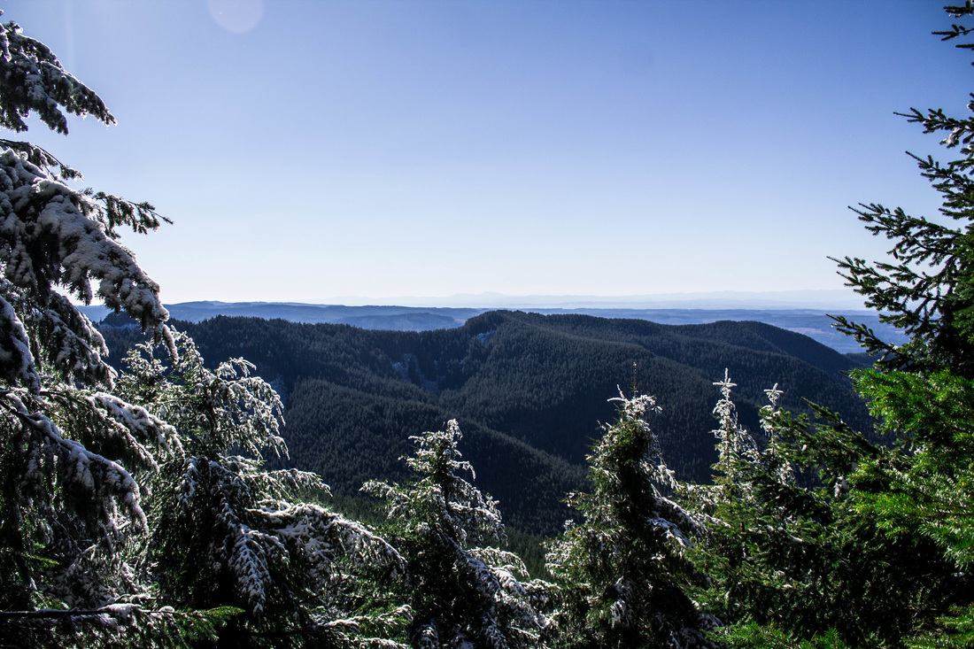
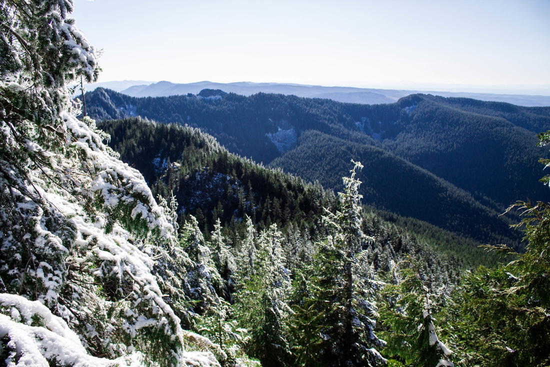
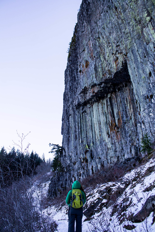
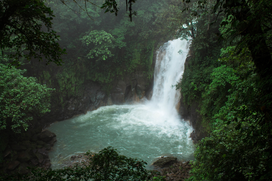
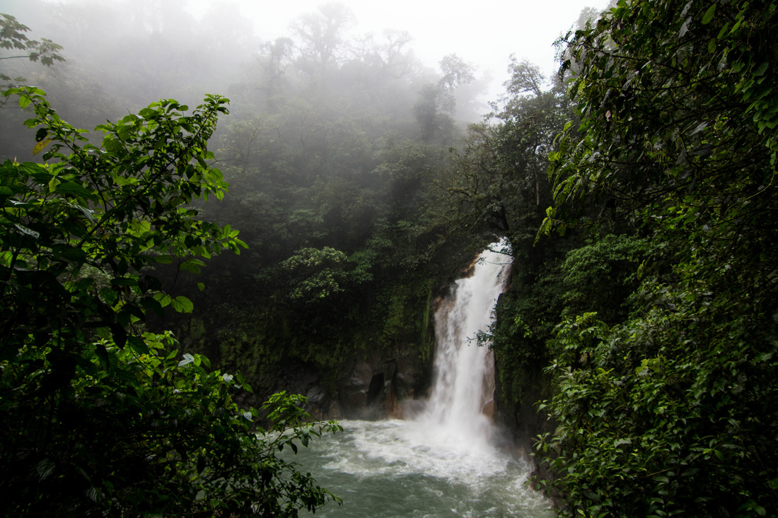
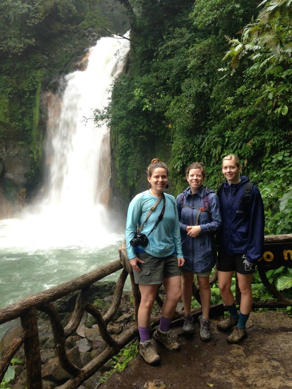
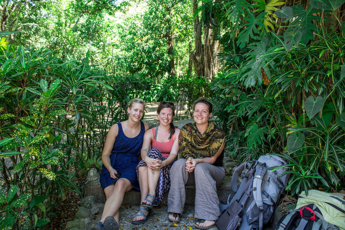
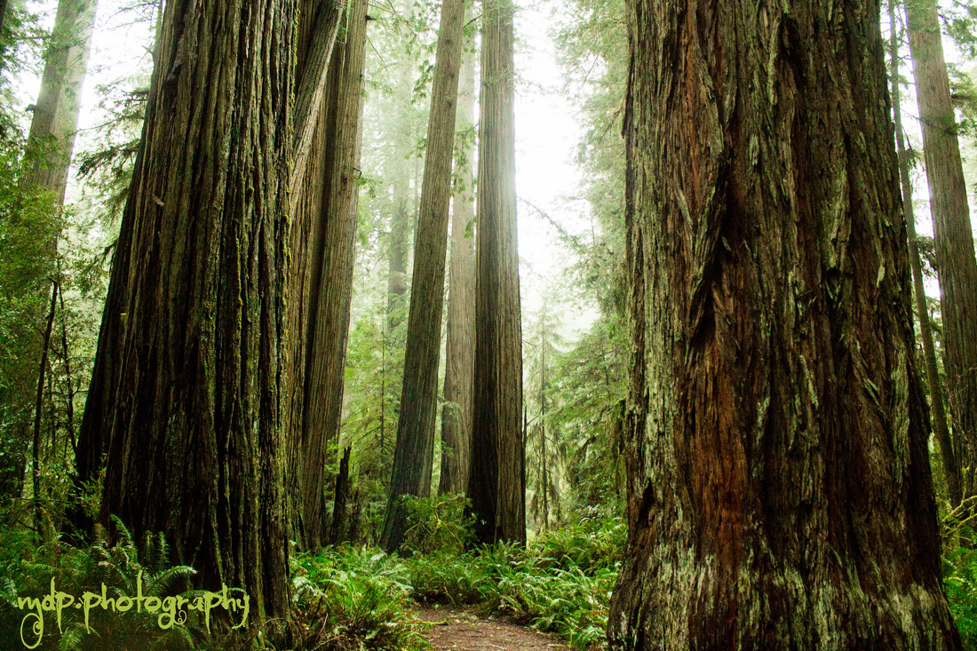
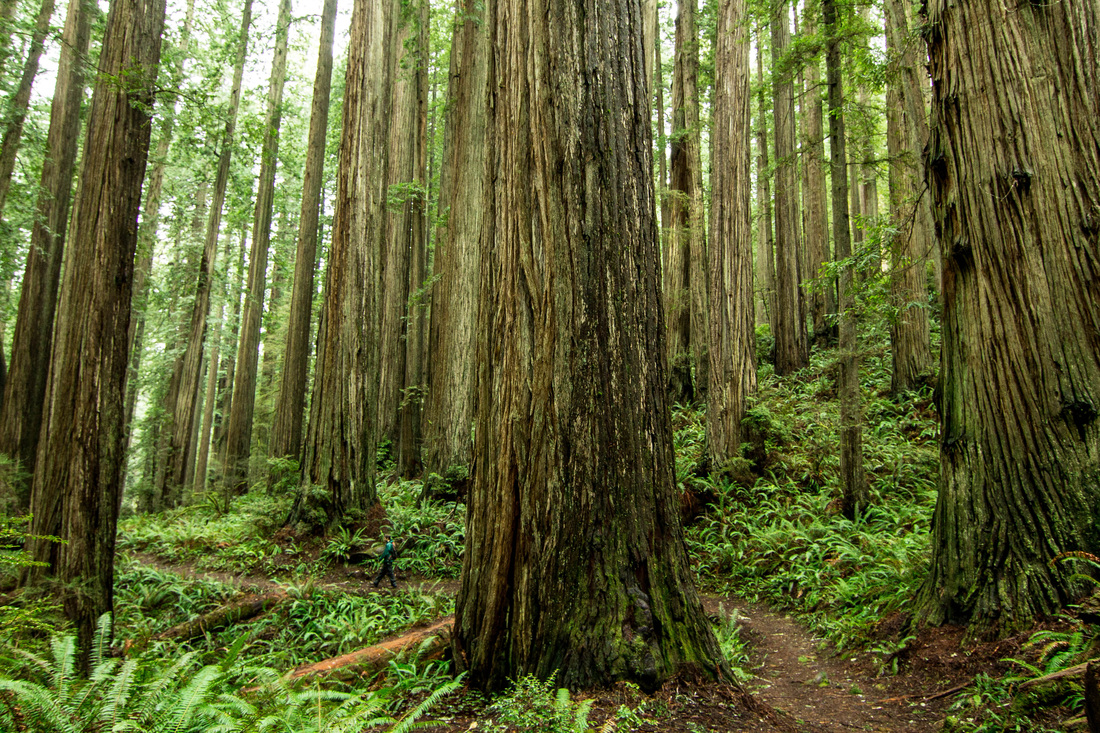
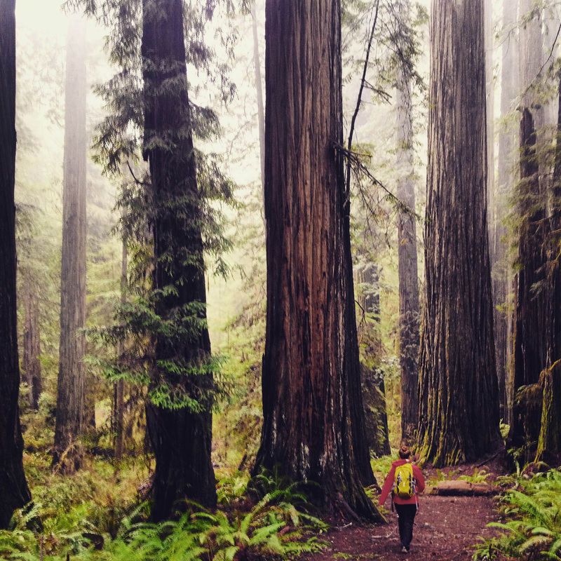
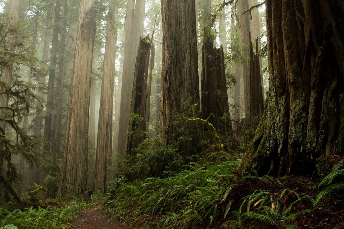
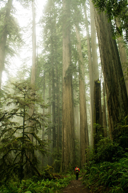
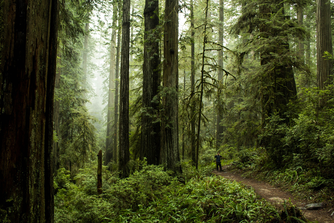
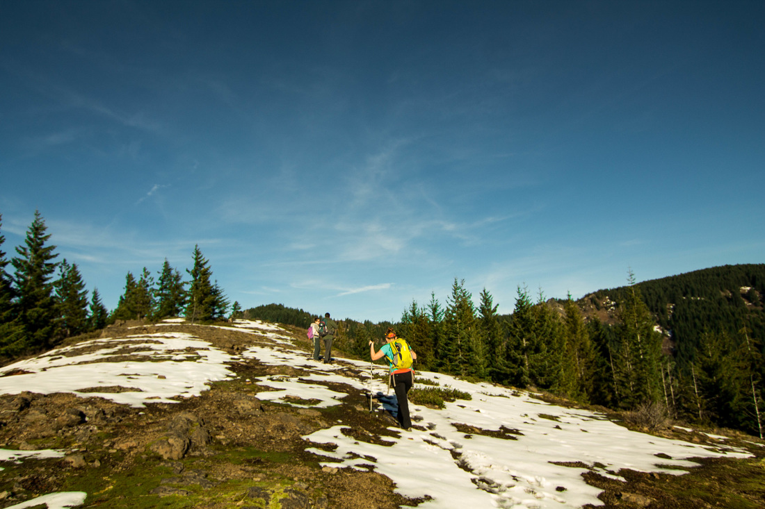
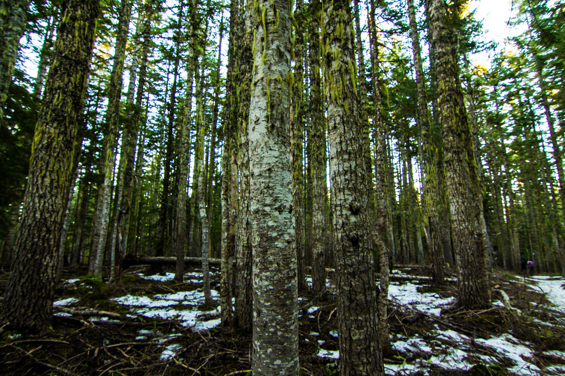
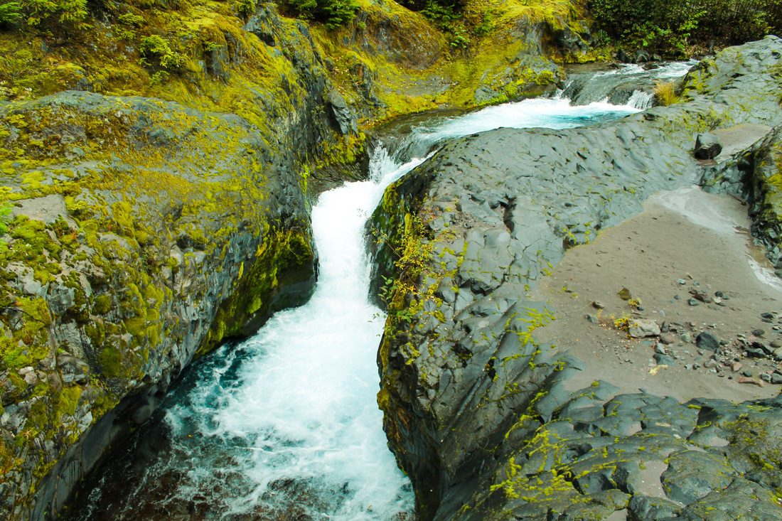
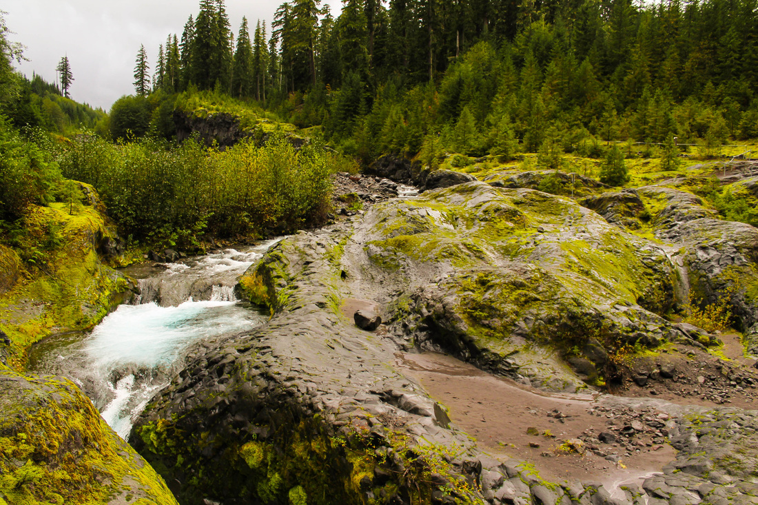
I hiked Coyote Wall after a busy week and decided to do it on my own. It was nice to fly solo because I was able to leave the house by 8am and be on the trail by 9am. I was the first car at the trailhead and had the trail to myself. The hike begins by walking up a road where boulders from the wall have blocked the way. The trail starts off on the left and immediately becomes confusing. Coyote Wall is also a trail system for mountain bikers. So the trails twist and intersect all over the place. As long as you keep heading up, you're going the right way. The trail climbs and you begin to see views of Mt. Hood. The trail cuts west for awhile and then you come up to the wall. Follow the path along the trial. This was the first hike I did that shared the trail with mountain bikers. They always yielded to the hikers and were friendly. There are plenty of spots to sit and eat lunch along the wall. I didn't see a good turning around point, so I just turned back when I felt like it. I ran into some women that had tried to hike Dog Mountain but said the trailhead was already filled at 9am. Coyote Wall is a little further east than Dog Mountain, but much less crowded, offers great views and wildflowers in the spring. It didn't take long so I went to Hood River and had pizza at Double Mountain. Then, hiked Wachlella Falls in the Oregon side of the Gorge.
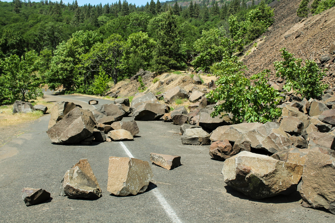
The boulders in the road at the start.
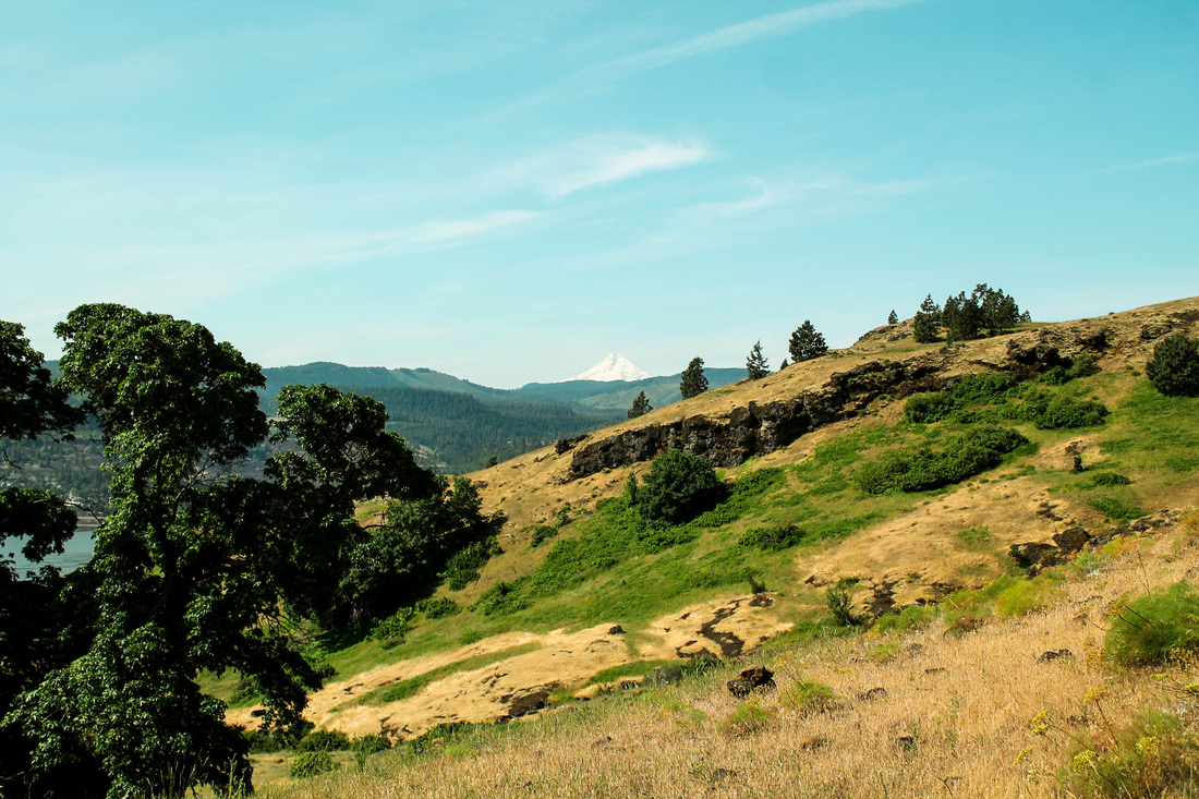
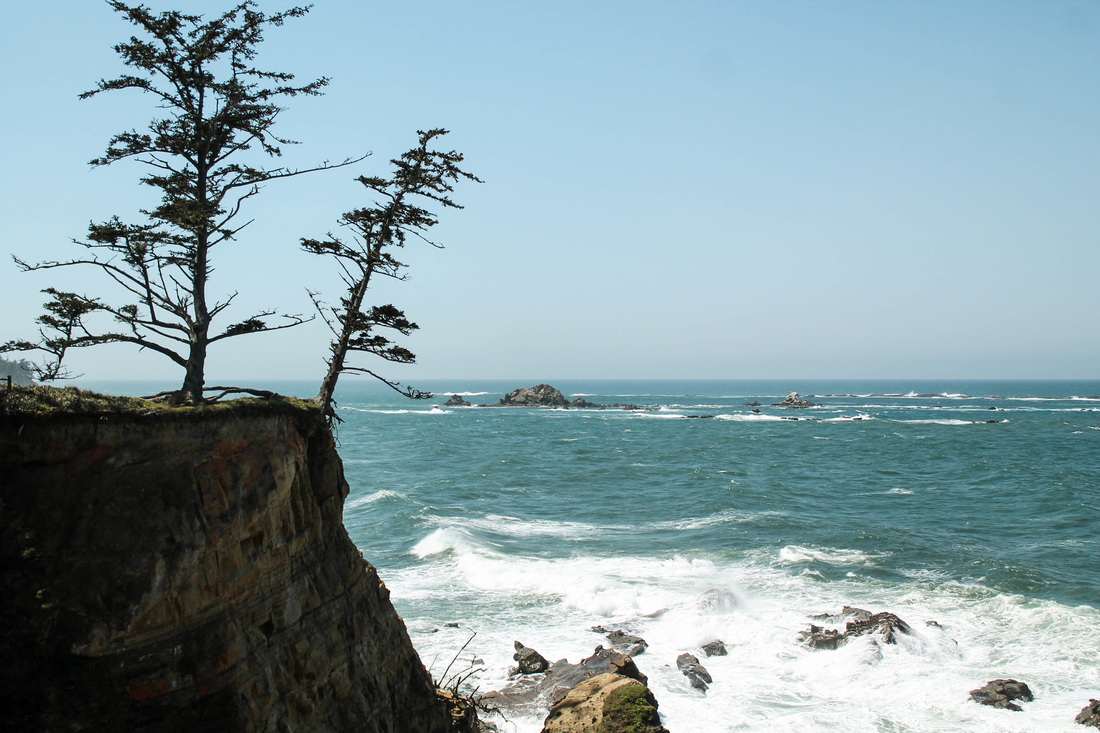
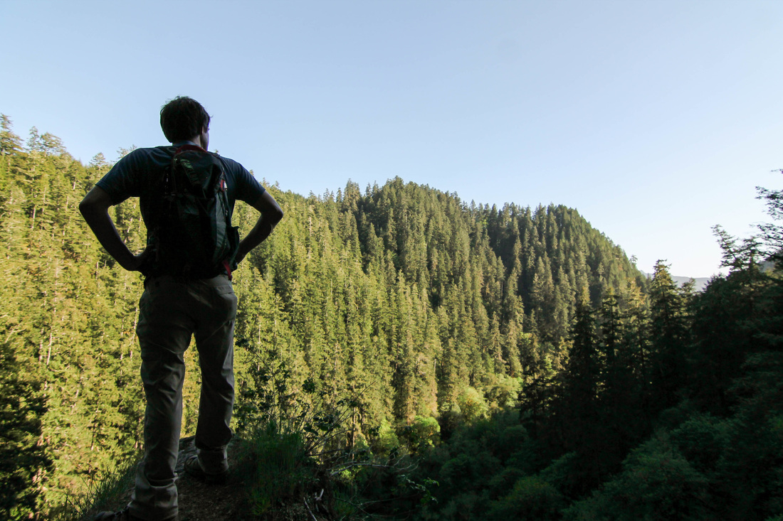
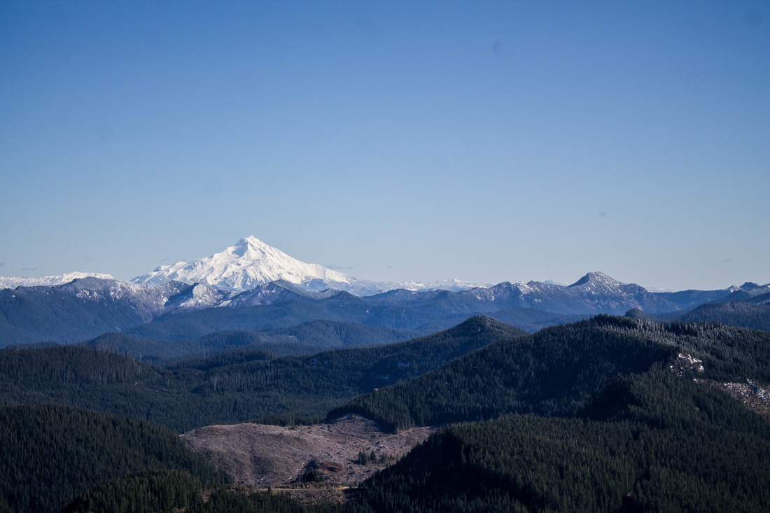
First views of Hood
The Hike:
- Elevation: 1,500-1,700;
- Distance: 5-7 miles
- No pass required at trailhead


 RSS Feed
